15 Berney Road, Croydon, CR0 2JX
About 15 Berney Road
15 Berney Road is a two-bedroom semi-detached house in Croydon (CR0 2JX). It has a recorded floor area of 62 m² (around 667 sq ft), construction records dating it to 1967-1975 and council tax band B. At 62 m² this is the 6th smallest of 23 units on EPC record in the building, where floor areas span 40–141 m². The building's EPC ratings span E to B across 23 units on file. The latest certificate (March 2021) shows a C (score 73).
Across 2005–2023, sale prices on this property compounded at 4.1% per year. On a £-per-square-foot basis, the last sale (£375/sq ft) was about 146.7% above the typical sold price in the postcode. Last sale on file: £250,000 in August 2023.
What this property has
Inside
- Bedrooms2
- Bathrooms1
Building
- RefurbishedYes
Everything you need to know about 15 Berney Road
The true value, the hidden risks and the full sale history, in one report.
30-day money-back guarantee

The data behind every report


Energy performance
EPC Rating
Planning history
15 Berney Road has no planning applications on record.
Notable planning nearby
64applications of note in the surrounding area
We flagged 2 things worth checking at 15 Berney Road
Independent checks surfaced things a buyer would want to understand before offering. The report explains each one in full, with the underlying data and what to ask.
- Signs of HMO activity in the area
- Larger development activity nearby
30-day money-back guarantee
Sales history & valuation
Sale price has at least doubled since 2005.
£257,000
Modelled from EPC, postcode comparables and a sale-price growth of 4.1% per year over 18 years.
£250,000
Growth on file: 4.1% per year over 18 years.
Sales timeline
6 August 2023Most recent
£250,000
+103.3%over 17 years9 December 2005
£123,000
Median price across the last 5 sales in CR0 2JX: £285,000 (2025–2008).
Versus other Berney Road homes
15 Berney Road is notably below the street on years held.
Price per m²
£4,032
Street avg £2,251
Floor Area
62 m²
Street avg 69 m²
Habitable Rooms
3 rooms
Street avg 3 rooms
CO₂ Emissions
1.9 t/year
Street avg 2.2 t/year
Everything you need to know about 15 Berney Road
The true value, the hidden risks and the full sale history, in one report.
30-day money-back guarantee
The data behind every report
Similar properties nearby
The neighbourhood at a glance
Rail-style transport is unusually close for this postcode.
Crime
6/mo
Steady year-on-year across the wider district.
Nearest stop
0.2 km
Cromwell Road (CR0) — bus stop.
Closest school
0.5 km
Broadmead Primary School. 57 schools nearby.
Go deeper on the local area
The full report breaks down crime, transport links, schools and air quality in depth.
Road noise across the postcode
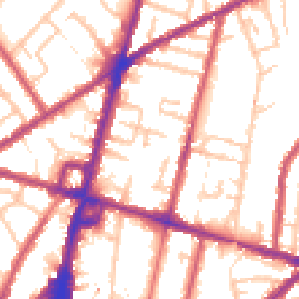
Daytime· 07:00 – 23:00
54.7dB
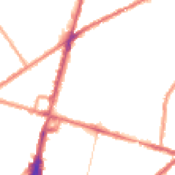
Night-time· 23:00 – 07:00
45.3dB