3 Egerton Gardens, Birkenhead, CH42 4SB
About 3 Egerton Gardens
3 Egerton Gardens is a three-bedroom semi-detached house in Birkenhead (CH42 4SB). It has a recorded floor area of 66 m² (around 712 sq ft), construction records dating it to 1983-1990 and council tax band C. The latest certificate (April 2009) shows a C (score 70). The latest certificate is from April 2009, so improvements made since then won't be reflected.
Across 1999–2016, sale prices on this property compounded at 4.9% per year. Today's modelled estimate of £172,000 is 49.6% above the 2016 sale price. On a £-per-square-foot basis, the last sale (£162/sq ft) was about 85.6% above the typical sold price in the postcode. Last changed hands 10 years ago, in October 2016.
What this property has
Inside
- Bedrooms3
- Dining roomYes
Outside
- Private gardenYes
- ParkingYes
Building
- Central heatingYes
Everything you need to know about 3 Egerton Gardens
The true value, the hidden risks and the full sale history, in one report.
30-day money-back guarantee

The data behind every report


Energy performance
3 Egerton Gardens's EPC is over a decade old — improvements since won't be reflected.
EPC Expired
This certificate is over 10 years old and is no longer valid.Expired 30 Apr 2019
EPC Rating
Planning history
3 Egerton Gardens has no planning applications on record.
The full report still covers planning activity across the surrounding area.
Sales history & valuation
Sale price has at least doubled since 1999.
£172,000
Modelled from EPC, postcode comparables and a sale-price growth of 4.9% per year over 17 years.
£115,000
Growth on file: 4.9% per year over 17 years.
Sales timeline
27 October 2016Most recent
£115,000
+124.4%over 16 years1 December 1999
£51,250
Median price across the last 5 sales in CH42 4SB: £145,000 (2025–2012).
Nearby sales in CH42 4SB
Versus other Egerton Gardens homes
On epc rating, 3 Egerton Gardens runs well behind the street norm.
Price per m²
£1,739
Street avg £1,651
Floor Area
66 m²
Street avg 84 m²
Habitable Rooms
5 rooms
Street avg 4 rooms
CO₂ Emissions
2.8 t/year
Street avg 2.8 t/year
Everything you need to know about 3 Egerton Gardens
The true value, the hidden risks and the full sale history, in one report.
30-day money-back guarantee
The data behind every report
Similar properties nearby
1 Moore Avenue
CH42 4QT
1 Thorpe Bank
CH42 4NP
1 Solly Avenue
CH42 4QR
1 Egerton Gardens
CH42 4SB
1 Highfield Mews, Highfield South
CH42 4RP
1 Delyn Close
CH42 4RH
1 Briarswood Close
CH42 4LZ
1 The Cokers
CH42 4RT
The neighbourhood at a glance
Rail-style transport is unusually close for this postcode.
Crime
8/mo
Steady year-on-year across the wider district.
Nearest stop
0.1 km
Clarke Avenue — bus stop.
Closest school
0.4 km
Bedford Drive Primary School. 34 schools nearby.
Go deeper on the local area
The full report breaks down crime, transport links, schools and air quality in depth.
Road noise across the postcode
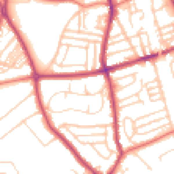
Daytime· 07:00 – 23:00
52.6dB
Night-time· 23:00 – 07:00
42.1dB