7 Springfield Avenue, Horfield, Bristol, BS7 9QS
About 7 Springfield Avenue
7 Springfield Avenue is a three-bedroom mid-terrace house in Horfield, Bristol, Bristol (BS7 9QS). It has a recorded floor area of 102 m² (around 1098 sq ft), construction records dating it to before 1900 and council tax band B. The latest certificate (August 2019) shows a D (score 60), on the cusp of jumping into the C band. The rating has held steady at D across 2 certificates since July 2009. Between certificates, window efficiency went from Very Poor to Poor and lighting went from Good to Very Good. The recommended improvements would lift it to B (score 85), a 2-band jump. Other recorded features include a basement. Period features are noted in the property record. The home occupies a cul-de-sac position.
Held since February 2002 — that's 24 years off the open market, well above the local norm. Across 1998–2002, sale prices on this property compounded at 16% per year. Today's modelled estimate of £419,000 sits 212.7% above the 2002 sale of £134,000. On a £-per-square-foot basis, the last sale (£122/sq ft) was about 49.4% below the postcode norm. At 102 m² it's 16.6% larger than the typical home in the postcode (88 m² median across 24 EPCs).
What this property has
Inside
- Bedrooms3
- Bathrooms1
- BasementYes
Outside
- Private gardenSouth-facing
- GarageYes
- Cul-de-sacYes
Building
- ConciergeYes
- Period featuresYes
Everything you need to know about 7 Springfield Avenue
The true value, the hidden risks and the full sale history, in one report.
Pick your report · every report is £14.99
One time fee only - money back guarantee

The data behind every report


Energy performance
Recommended upgrades on file would lift this property by multiple EPC bands.
EPC Rating
Property Improvements
Changes detected from historical EPC data
Heating controls upgraded for better temperature management
Single glazing replaced with double or better glazing
More low energy lighting installed
Get a survey for this property
Level 3 Building Survey
Because the property was built before 1919 and has solid (non-cavity) walls, we believe a Level 3 building survey should be considered.
From £1,020 · Includes VAT
Planning history
7 Springfield Avenue has no planning applications on record.
But the area is active
66 notable applications nearby — larger schemes and conversions that could reshape the street. The report maps them all.
Sales history & valuation
7 Springfield Avenue's modelled value sits at over four times its earliest registered sale price (1998).
£419,000
Modelled from EPC, postcode comparables and a sale-price growth of 16.0% per year over 4 years.
£134,000
Growth on file: 16.0% per year over 4 years.
Sales timeline
4 February 2002Most recent
£134,000
+75.2%over 3 years23 April 1998
£76,500
Median price across the last 5 sales in BS7 9QS: £425,000 (2024–2023).
Nearby sales in BS7 9QS
33 Springfield Avenue, Horfield, Bristol, BS7 9QS
Sold Oct 2024
£318,32531 Springfield Avenue, Horfield, Bristol, BS7 9QS
Sold Aug 2024
£425,00025 Springfield Avenue, Horfield, Bristol, BS7 9QS
Sold Apr 2024
£375,00021 Springfield Avenue, Horfield, Bristol, BS7 9QS
Sold Jun 2023
£558,00039 Springfield Avenue, Horfield, Bristol, BS7 9QS
Sold Mar 2023
£430,000
Versus other Springfield Avenue homes
CO₂ Emissions for 7 Springfield Avenue lags the street by a wide margin.
Price per m²
£1,314
Street avg £3,663
Floor Area
102 m²
Street avg 91 m²
Habitable Rooms
5 rooms
Street avg 5 rooms
CO₂ Emissions
4.7 t/year
Street avg 3.3 t/year
Everything you need to know about 7 Springfield Avenue
The true value, the hidden risks and the full sale history, in one report.
Pick your report · every report is £14.99
One time fee only - money back guarantee
The data behind every report
Similar properties nearby
The neighbourhood at a glance
Rail-style transport is unusually close for this postcode.
Crime
6/mo
Rising year-on-year across the wider district.
Nearest stop
0.2 km
Muller Road Lidl — bus stop.
Closest school
0.1 km
Ashley Down Primary School. 45 schools nearby.
Go deeper on the local area
A Local Area report breaks down crime, transport links, schools and air quality in depth.
Road noise across the postcode
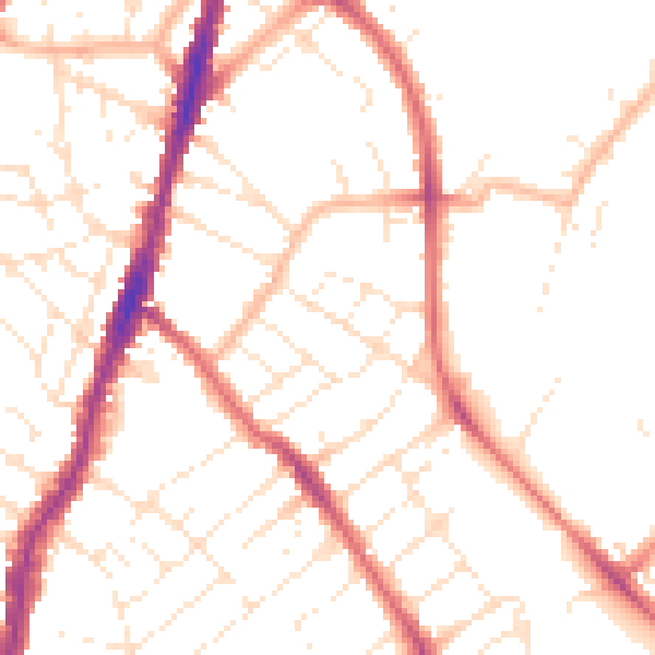
Daytime· 07:00 – 23:00
50.4dB

Night-time· 23:00 – 07:00
40.5dB