1 Downend Road, Horfield, Bristol, BS7 9PD
About 1 Downend Road
1 Downend Road is a property in Horfield, Bristol, Bristol (BS7 9PD). It has council tax band C.
Held since January 2004 — that's 22 years off the open market, well above the local norm. One historical planning record sits against the property in 2013.
Everything you need to know about 1 Downend Road
The true value, the hidden risks and the full sale history, in one report.
Pick your report · every report is £14.99
One time fee only - money back guarantee

The data behind every report


Energy performance
No EPC on record
This property doesn't have an Energy Performance Certificate yet. An EPC is required to sell or let — and unlocks our automated valuation.
Get a survey for this property
Level 2 HomeBuyer Report
We've checked 10 risk factors against the available data for this property and believe a Level 2 HomeBuyer Report could be a suitable option for you.
Planning history
1 application on record at 1 Downend Road, Horfield, Bristol, BS7 9PD
- May 2013Loft ConversionOutlineOutcome in report
Loft conversion comprising a dormer window to the north west elevation and gablet to the south west elevation forming the south west dormer cheek. .
- Council
- Bishopston, Cotham And Redland
- Documents
- 11 docs on file
- Reference
- 13/01590/CP
Unlock 1 Downend Road, Horfield, Bristol, BS7 9PD's full planning history
You're seeing the shape of it. The report has the substance.
- Every decision — granted, refused or withdrawn (1 on record)
- All 1 application on this property in full, plus 66 notable nearby
- The 11 documents, officer reports & conditions
- What the pattern means for extending or converting here
One time fee only - money back guarantee
Sales history & valuation
£210,000
Recorded with HM Land Registry.
Sales timeline
9 January 2004Most recent
£210,000
Median price across the last 5 sales in BS7 9PD: £460,000 (2024–2017).
Nearby sales in BS7 9PD
Flat 2, 23 Downend Road, Horfield, Bristol, BS7 9PD
Sold Apr 2024
£96,75213 Downend Road, Horfield, Bristol, BS7 9PD
Sold Jan 2022
£535,0005 Downend Road, Horfield, Bristol, BS7 9PD
Sold Apr 2021
£445,00015 Downend Road, Horfield, Bristol, BS7 9PD
Sold Jul 2018
£465,00011 Downend Road, Horfield, Bristol, BS7 9PD
Sold May 2017
£460,000
Everything you need to know about 1 Downend Road
The true value, the hidden risks and the full sale history, in one report.
Pick your report · every report is £14.99
One time fee only - money back guarantee
The data behind every report
Similar properties nearby
The neighbourhood at a glance
Rail-style transport is unusually close for this postcode.
Crime
6/mo
Rising year-on-year across the wider district.
Nearest stop
0.2 km
Churchways Avenue — bus stop.
Closest school
0.0 km
Ashley Down Primary School. 44 schools nearby.
Go deeper on the local area
A Local Area report breaks down crime, transport links, schools and air quality in depth.
Road noise across the postcode
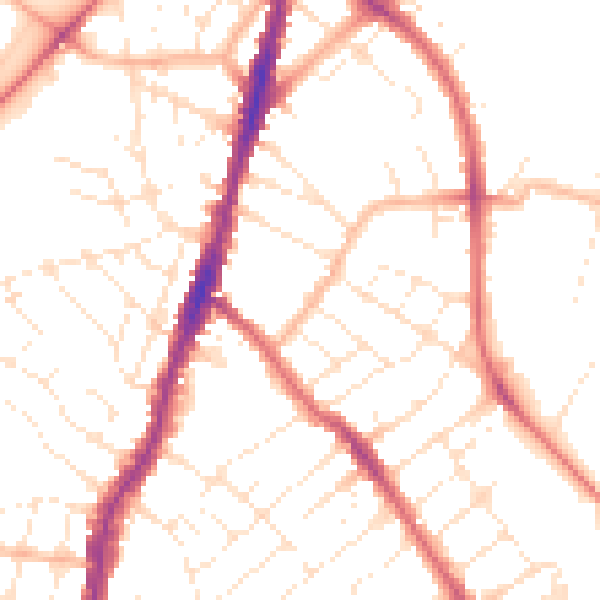
Daytime· 07:00 – 23:00
50.8dB

Night-time· 23:00 – 07:00
40.7dB