Flat 3, 547 Gloucester Road, Horfield, Bristol, BS7 8UG
About Flat 3
Flat 3 is a two-bedroom semi-detached house in Horfield, Bristol, Bristol (BS7 8UG). It has a recorded floor area of 37 m² (around 398 sq ft), construction records dating it to 1900-1929 and council tax band A. At 37 m² this is the smallest unit on EPC record across the building (37–86 m²). The building's EPC ratings span E to D, with this unit at the top. The latest certificate (December 2012) shows a D (score 64), on the cusp of jumping into the C band. The recommended improvements would push it to C (score 74). The latest certificate is from December 2012, so improvements made since then won't be reflected.
At 37 m² it sits well below the postcode median (119 m² across 43 EPCs), making it one of the more compact homes locally. Across 2013–2021, sale prices on this property compounded at 9.8% per year. Today's modelled estimate of £308,000 is 16.2% above the 2021 sale price. On a £-per-square-foot basis, the last sale (£665/sq ft) was about 265.5% above the typical sold price in the postcode. Last sale on file: £265,000 in October 2021. That sale was during the post-pandemic price surge, when transactions cleared materially above pre-2020 trend.
What this property has
Inside
- Bedrooms2
- Bathrooms1
- Open-plan layoutYes
- Dining roomYes
- FireplaceYes
Outside
- Private gardenRear
Building
- RefurbishedYes
Everything you need to know about Flat 3
The true value, the hidden risks and the full sale history, in one report.
Pick your report · every report is £14.99
One time fee only - money back guarantee

The data behind every report


Energy performance
Flat 3's EPC is over a decade old — improvements since won't be reflected.
EPC Expired
This certificate is over 10 years old and is no longer valid.Expired 04 Dec 2022
EPC Rating
Get a survey for this property
Level 3 Building Survey
Because the property was built before 1919, we believe a Level 3 building survey should be considered.
From £955 · Includes VAT
Planning history
Flat 3 has no planning applications on record.
But the area is active
37 notable applications nearby — larger schemes and conversions that could reshape the street. The report maps them all.
Sales history & valuation
Sale price has at least doubled since 2013.
£308,000
Modelled from EPC, postcode comparables and a sale-price growth of 9.8% per year over 8 years.
£265,000
Growth on file: 9.8% per year over 8 years.
Sales timeline
14 October 2021Most recent
£265,000
+12.8%over 2 years14 January 2019
£235,000
+91.1%over 5 years30 July 2013
£123,000
Median price across the last 5 sales in BS7 8UG: £382,500 (2025–2022).
Nearby sales in BS7 8UG
1 Wellington Mews, Gloucester Road, Horfield, Bristol, BS7 8UG
Sold Nov 2025
£382,500543 Gloucester Road, Horfield, Bristol, BS7 8UG
Sold Feb 2025
£550,0003 Wellington Mews, Gloucester Road, Horfield, Bristol, BS7 8UG
Sold Feb 2024
£375,000Flat 2, 547 Gloucester Road, Horfield, Bristol, BS7 8UG
Sold Jul 2023
£210,000529 Gloucester Road, Horfield, Bristol, BS7 8UG
Sold May 2022
£490,000
Versus other Gloucester Road homes
Flat 3 outperforms the street on price per m² by a wide margin.
Price per m²
£7,162
Street avg £2,956
Floor Area
37 m²
Street avg 71 m²
Habitable Rooms
2 rooms
Street avg 4 rooms
CO₂ Emissions
2.0 t/year
Street avg 3.5 t/year
Everything you need to know about Flat 3
The true value, the hidden risks and the full sale history, in one report.
Pick your report · every report is £14.99
One time fee only - money back guarantee
The data behind every report
Similar properties nearby
205a, Flat, Gloucester Road, Bishopston
BS7 8NN
195a, Flat B, Gloucester Road, Bishopston
BS7 8BG
1 3, Flat 1, Gloucester Road, Bishopston
BS7 8AA
1 3, Flat 3, Gloucester Road, Bishopston
BS7 8AA
139a, Apartment 2, Gloucester Road, Bishopston
BS7 8BA
1 3, Flat 10, Gloucester Road, Bishopston
BS7 8AA
213a, Flat 1, Gloucester Road, Bishopston
BS7 8NN
1 2, Flat 2, Hunts Lane
BS7 8UW
The neighbourhood at a glance
Reported crime in the wider district is trending notably upward year-on-year.
Crime
6/mo
Rising year-on-year across the wider district.
Nearest stop
0.1 km
Muller Road Top — bus stop.
Closest school
0.5 km
Ashley Down Primary School. 37 schools nearby.
Go deeper on the local area
A Local Area report breaks down crime, transport links, schools and air quality in depth.
Road noise across the postcode
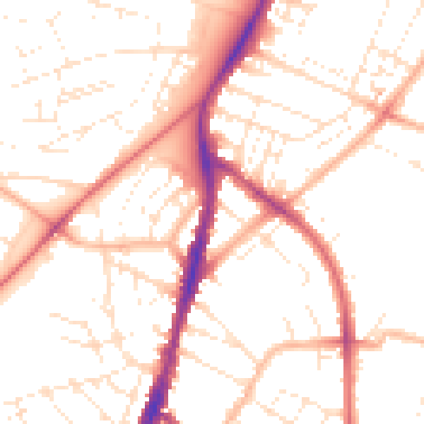
Daytime· 07:00 – 23:00
51.1dB

Night-time· 23:00 – 07:00
40.8dB