Flat 2, 497 Gloucester Road, Horfield, Bristol, BS7 8UG
About Flat 2
Flat 2 is a two-bedroom mid-terrace house in Horfield, Bristol, Bristol (BS7 8UG). It has a recorded floor area of 58 m² (around 624 sq ft), construction records dating it to 1900-1929 and council tax band A. At 58 m² this is the largest unit on EPC record across the building (54–58 m²). The building's EPC ratings span D to C, with this unit at the top. The latest certificate (September 2022) shows a C (score 74). The rating has held steady at C across 2 certificates since February 2011. Between certificates, roof efficiency went from Very Poor to Good and lighting went from Poor to Very Good; while wall efficiency dropped from Good to Poor and window efficiency dropped from Good to Average.
Across 2008–2014, sale prices on this property compounded at 2.4% per year. Today's modelled estimate of £276,000 sits 57.7% above the 2014 sale of £175,000. On a £-per-square-foot basis, the last sale (£280/sq ft) was about 53% above the typical sold price in the postcode. At 58 m² it sits well below the postcode median (119 m² across 43 EPCs), making it one of the more compact homes locally. Its energy rating outperforms most of the postcode (better than 74% of similar EPCs). On the market in October 2014 and unlisted since — roughly 12 years.
What this property has
Inside
- Bedrooms2
Building
- Heating systemGas
Everything you need to know about Flat 2
The true value, the hidden risks and the full sale history, in one report.
Pick your report · every report is £14.99
One time fee only - money back guarantee

The data behind every report


Energy performance
EPC Rating
Property Improvements
Changes detected from historical EPC data
Hot water efficiency decreased
Loft insulation installed or upgraded to 250mm+
More low energy lighting installed
Get a survey for this property
Level 3 Building Survey
Because the property was built before 1919, we believe a Level 3 building survey should be considered.
From £885 · Includes VAT
Planning history
Flat 2 has no planning applications on record.
But the area is active
37 notable applications nearby — larger schemes and conversions that could reshape the street. The report maps them all.
Sales history & valuation
£276,000
Modelled from EPC, postcode comparables and a sale-price growth of 2.4% per year over 6 years.
£175,000
Growth on file: 2.4% per year over 6 years.
Sales timeline
16 October 2014Most recent
£175,000
+16.7%over 6 years15 May 2008
£150,000
Median price across the last 5 sales in BS7 8UG: £382,500 (2025–2022).
Nearby sales in BS7 8UG
1 Wellington Mews, Gloucester Road, Horfield, Bristol, BS7 8UG
Sold Nov 2025
£382,500543 Gloucester Road, Horfield, Bristol, BS7 8UG
Sold Feb 2025
£550,0003 Wellington Mews, Gloucester Road, Horfield, Bristol, BS7 8UG
Sold Feb 2024
£375,000Flat 2, 547 Gloucester Road, Horfield, Bristol, BS7 8UG
Sold Jul 2023
£210,000529 Gloucester Road, Horfield, Bristol, BS7 8UG
Sold May 2022
£490,000
Versus other Gloucester Road homes
CO₂ Emissions for Flat 2 runs comfortably ahead of the street norm.
Price per m²
£3,017
Street avg £3,416
Floor Area
58 m²
Street avg 70 m²
Habitable Rooms
3 rooms
Street avg 4 rooms
CO₂ Emissions
1.8 t/year
Street avg 3.5 t/year
Everything you need to know about Flat 2
The true value, the hidden risks and the full sale history, in one report.
Pick your report · every report is £14.99
One time fee only - money back guarantee
The data behind every report
Similar properties nearby
205a, Flat, Gloucester Road, Bishopston
BS7 8NN
195a, Flat B, Gloucester Road, Bishopston
BS7 8BG
1 3, Flat 7, Gloucester Road, Bishopston
BS7 8AA
1 3, Flat 9, Gloucester Road, Bishopston
BS7 8AA
1 2, Flat 2, Hunts Lane
BS7 8UW
1 3, Flat 11, Gloucester Road, Bishopston
BS7 8AA
1 3, Flat 2, Gloucester Road, Bishopston
BS7 8AA
1 3, Flat 8, Gloucester Road, Bishopston
BS7 8AA
The neighbourhood at a glance
Reported crime in the wider district is trending notably upward year-on-year.
Crime
6/mo
Rising year-on-year across the wider district.
Nearest stop
0.1 km
Muller Road Top — bus stop.
Closest school
0.5 km
Ashley Down Primary School. 37 schools nearby.
Go deeper on the local area
A Local Area report breaks down crime, transport links, schools and air quality in depth.
Road noise across the postcode
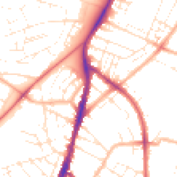
Daytime· 07:00 – 23:00
51.1dB

Night-time· 23:00 – 07:00
40.8dB