23 Kings Drive, Bishopston, Bristol, BS7 8JW
About 23 Kings Drive
23 Kings Drive is a three-bedroom detached house in Bishopston, Bristol, Bristol (BS7 8JW). It has a recorded floor area of 136 m² (around 1464 sq ft), construction records dating it to 1900-1929 and council tax band E. The latest certificate (October 2015) shows a D (score 61), on the cusp of jumping into the C band. The recommended improvements would push it to C (score 80). The latest certificate is from October 2015, so improvements made since then won't be reflected.
3 planning records sit against the property, 2 approved, 1 refused. Past consents include an extension and a loft conversion, meaningful when judging how the property has evolved. At 136 m² it's 21.9% larger than the typical home in the postcode (112 m² median across 8 EPCs). Across 1998–2016, sale prices on this property compounded at 9.1% per year. Today's modelled estimate of £876,000 is 27.9% above the 2016 sale price. On a £-per-square-foot basis, the last sale (£468/sq ft) was about 16.1% above the typical sold price in the postcode. On the market in March 2016 and unlisted since — roughly 10 years.
What this property has
Inside
- Bedrooms3
Everything you need to know about 23 Kings Drive
The true value, the hidden risks and the full sale history, in one report.
Pick your report · every report is £14.99
One time fee only - money back guarantee

The data behind every report


Energy performance
EPC Expired
This certificate is over 10 years old and is no longer valid.Expired 06 Oct 2025
EPC Rating
Get a survey for this property
Level 3 Building Survey
Because the property was built before 1919, we believe a Level 3 building survey should be considered.
From £1,360 · Includes VAT
Planning history
3 applications on record at 23 Kings Drive, Bishopston, Bristol, BS7 8JW
- Oct 2016Loft ConversionFullOutcome in report
Extension: Side of property
Double storey side extension to replace existing garage, single storey rear extension to replace existing extension and conservatory and a loft conversion.
- Council
- Bishopston, Cotham And Redland
Extension- Documents
- 8 docs on file
- Reference
- 16/04356/H
- More recent applications — locked
- ExtensionOct 2017Decision
- AmendmentAug 2017Decision
Unlock 23 Kings Drive, Bishopston, Bristol, BS7 8JW's full planning history
You're seeing the shape of it. The report has the substance.
- Every decision — granted, refused or withdrawn (3 on record)
- All 3 applications on this property in full, plus 37 notable nearby
- The 21 documents, officer reports & conditions
- What the pattern means for extending or converting here
One time fee only - money back guarantee
Sales history & valuation
23 Kings Drive has more than quadrupled in price since its earliest registered sale in 1998.
£876,000
Modelled from EPC, postcode comparables and a sale-price growth of 9.1% per year over 18 years.
£685,000
Growth on file: 9.1% per year over 18 years.
Sales timeline
1 March 2016Most recent
£685,000
+372.4%over 17 years4 June 1998
£145,000
Median price across the last 5 sales in BS7 8JW: £606,000 (2025–2015).
Nearby sales in BS7 8JW
39 Kings Drive, Bishopston, Bristol, BS7 8JW
Sold Jul 2025
£823,00021 Kings Drive, Bishopston, Bristol, BS7 8JW
Sold Nov 2024
£775,0001 Kings Drive, Bishopston, Bristol, BS7 8JW
Sold Mar 2016
£606,00019 Kings Drive, Bishopston, Bristol, BS7 8JW
Sold Sept 2015
£436,0005 Kings Drive, Bishopston, Bristol, BS7 8JW
Sold Apr 2015
£680,000
Versus other Kings Drive homes
CO₂ Emissions for 23 Kings Drive runs comfortably ahead of the street norm.
Price per m²
£5,037
Street avg £5,163
Floor Area
136 m²
Street avg 126 m²
Habitable Rooms
7 rooms
Street avg 6 rooms
CO₂ Emissions
5.1 t/year
Street avg 6.7 t/year
Everything you need to know about 23 Kings Drive
The true value, the hidden risks and the full sale history, in one report.
Pick your report · every report is £14.99
One time fee only - money back guarantee
The data behind every report
Similar properties nearby
1 Beloe Road
BS7 8RB
1 Beloe Mews
BS7 8AN
1 Berkeley Avenue, Bishopston
BS7 8HH
1 Ash Road
BS7 8RN
1 Arundel Road
BS7 8HA
1 Beech Road
BS7 8RP
1 Berkshire Road
BS7 8EX
1 Arundel Court, Berkeley Road, Bishopston
BS7 8HE
The neighbourhood at a glance
Reported crime in the wider district is trending notably upward year-on-year.
Crime
6/mo
Rising year-on-year across the wider district.
Nearest stop
0.1 km
King's Drive — bus stop.
Closest school
0.3 km
St Bonaventure's Catholic Primary School. 41 schools nearby.
Go deeper on the local area
A Local Area report breaks down crime, transport links, schools and air quality in depth.
Road noise across the postcode
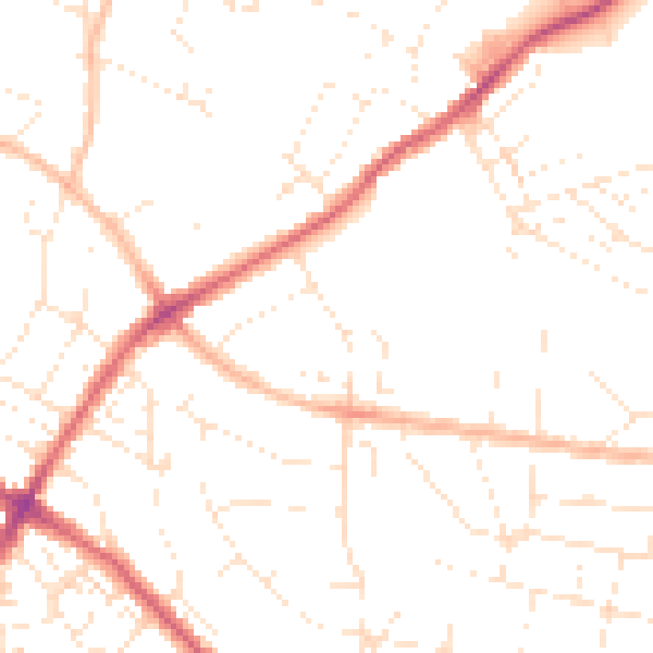
Daytime· 07:00 – 23:00
48.8dB

Night-time· 23:00 – 07:00
38.5dB