34 Highbury Road, Horfield, Bristol, BS7 0BZ
About 34 Highbury Road
34 Highbury Road is a property in Horfield, Bristol, Bristol (BS7 0BZ). It has council tax band C.
Untraded for 26 years, with the last transfer in August 2000. Across 1998–2000, sale prices on this property compounded at 2.8% per year.
Everything you need to know about 34 Highbury Road
The true value, the hidden risks and the full sale history, in one report.
Pick your report · every report is £14.99
One time fee only - money back guarantee

The data behind every report


Energy performance
No EPC on record
This property doesn't have an Energy Performance Certificate yet. An EPC is required to sell or let — and unlocks our automated valuation.
Get a survey for this property
Level 2 HomeBuyer Report
We've checked 10 risk factors against the available data for this property and believe a Level 2 HomeBuyer Report could be a suitable option for you.
Planning history
34 Highbury Road has no planning applications on record.
But the area is active
162 notable applications nearby — larger schemes and conversions that could reshape the street. The report maps them all.
Sales history & valuation
34 Highbury Road changed hands twice within eighteen months — unusual for the area.
£77,500
Growth on file: 2.8% per year over 2 years.
Sales timeline
14 August 2000Most recent
£77,500
-3.1%over 10 months30 September 1999
£79,950
+8.0%over 10 months1 December 1998
£74,000
Median price across the last 5 sales in BS7 0BZ: £522,610 (2025–2021).
Nearby sales in BS7 0BZ
28 Highbury Road, Horfield, Bristol, BS7 0BZ
Sold Jul 2025
£522,61046 Highbury Road, Horfield, Bristol, BS7 0BZ
Sold Aug 2024
£556,00052 Highbury Road, Horfield, Bristol, BS7 0BZ
Sold Jun 2022
£495,00056 Highbury Road, Horfield, Bristol, BS7 0BZ
Sold Feb 2022
£535,00030 Highbury Road, Horfield, Bristol, BS7 0BZ
Sold May 2021
£393,119
Everything you need to know about 34 Highbury Road
The true value, the hidden risks and the full sale history, in one report.
Pick your report · every report is £14.99
One time fee only - money back guarantee
The data behind every report
Similar properties nearby
The neighbourhood at a glance
Reported crime in the wider district is trending notably upward year-on-year.
Crime
6/mo
Rising year-on-year across the wider district.
Nearest stop
0.2 km
Wessex Avenue — bus stop.
Closest school
0.6 km
Filton Avenue Primary School. 37 schools nearby.
Go deeper on the local area
A Local Area report breaks down crime, transport links, schools and air quality in depth.
Road noise across the postcode
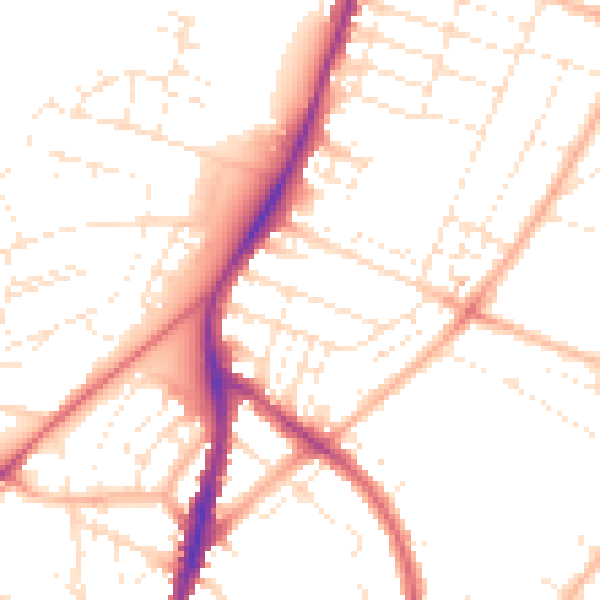
Daytime· 07:00 – 23:00
50.6dB

Night-time· 23:00 – 07:00
40.6dB