3 Filton Avenue, Horfield, Bristol, BS7 0AQ
About 3 Filton Avenue
3 Filton Avenue is a one-bedroom end-of-terrace house in Horfield, Bristol, Bristol (BS7 0AQ). It has a recorded floor area of 144 m² (around 1550 sq ft), construction records dating it to before 1900 and council tax band D. The latest certificate (October 2019) shows a D (score 60), on the cusp of jumping into the C band. When first surveyed in May 2009 the rating was E, the property has climbed 1 band since. Between certificates, roof efficiency went from Very Poor to Average, window efficiency went from Average to Good and lighting went from Good to Very Good; while hot-water efficiency dropped from Good to Average. The recommended improvements would lift it to B (score 82), a 2-band jump.
It hasn't traded since July 2002, a hold of 24 years that's notably long for the area. Across 2002–2002, sale prices on this property compounded at 15.5% per year. Today's modelled estimate of £536,000 sits 176.3% above the 2002 sale of £194,000. On a £-per-square-foot basis, the last sale (£125/sq ft) was about 31.7% below the postcode norm. One historical planning record sits against the property in 2019.
What this property has
Inside
- Bedrooms1
- Bathrooms2
Outside
- ParkingYes
Building
- Central heatingYes
Everything you need to know about 3 Filton Avenue
The true value, the hidden risks and the full sale history, in one report.
Pick your report · every report is £14.99
One time fee only - money back guarantee

The data behind every report


Energy performance
3 Filton Avenue's carbon output runs well above what efficient homes in the postcode produce.
EPC Rating
Property Improvements
Changes detected from historical EPC data
Heating controls upgraded for better temperature management
Hot water system changed
Windows upgraded, improving insulation
Roof insulation improved
More low energy lighting installed
Get a survey for this property
Level 3 Building Survey
Because the property was built before 1919 and has solid (non-cavity) walls, we believe a Level 3 building survey should be considered.
From £1,085 · Includes VAT
Planning history
1 application on record at 3 Filton Avenue, Horfield, Bristol, BS7 0AQ
- Oct 2019ExtensionOutlineOutcome in report
Application for a Certificate of Proposed Development - Proposed hip-to-gable extension and rear, flat-roofed dormer.
- Documents
- 5 docs on file
- Reference
- 19/04585/CP
Unlock 3 Filton Avenue, Horfield, Bristol, BS7 0AQ's full planning history
You're seeing the shape of it. The report has the substance.
- Every decision — granted, refused or withdrawn (1 on record)
- All 1 application on this property in full, plus 162 notable nearby
- The 5 documents, officer reports & conditions
- What the pattern means for extending or converting here
One time fee only - money back guarantee
Sales history & valuation
3 Filton Avenue's estimated value is more than triple its earliest registered sale price (2002).
£536,000
Modelled from EPC, postcode comparables and a sale-price growth of 15.5% per year over 1 year.
£194,000
Growth on file: 15.5% per year over 1 year.
Sales timeline
4 July 2002Most recent
£194,000
+15.5%1 February 2002
£168,000
Median price across the last 5 sales in BS7 0AQ: £425,000 (2025–2022).
Nearby sales in BS7 0AQ
61 Filton Avenue, Horfield, Bristol, BS7 0AQ
Sold Jun 2025
£605,00039 Filton Avenue, Horfield, Bristol, BS7 0AQ
Sold Feb 2025
£570,00029 Filton Avenue, Horfield, Bristol, BS7 0AQ
Sold May 2024
£425,0009 Filton Avenue, Horfield, Bristol, BS7 0AQ
Sold Jul 2023
£425,0001c, Filton Avenue, Horfield, Bristol, BS7 0AQ
Sold Jun 2022
£337,500
Versus other Filton Avenue homes
On years held, 3 Filton Avenue stands well clear of the street.
Price per m²
£1,347
Street avg £2,681
Floor Area
144 m²
Street avg 153 m²
Habitable Rooms
7 rooms
Street avg 7 rooms
CO₂ Emissions
6.3 t/year
Street avg 6.3 t/year
Everything you need to know about 3 Filton Avenue
The true value, the hidden risks and the full sale history, in one report.
Pick your report · every report is £14.99
One time fee only - money back guarantee
The data behind every report
Similar properties nearby
1 Boston Road
BS7 0HA
1 Broncksea Road
BS7 0SE
1 Doone Road
BS7 0JQ
1 Alderton Road
BS7 0UY
1 Bythesea Avenue
BS7 0FN
1 Bayswater Road
BS7 0BN
1 Azov Close
BS7 0FL
1 Bartholomews Square, Horfield
BS7 0QA
The neighbourhood at a glance
Reported crime in the wider district is trending notably upward year-on-year.
Crime
6/mo
Rising year-on-year across the wider district.
Nearest stop
0.1 km
Memorial Stadium — bus stop.
Closest school
0.4 km
Ashley Down Primary School. 39 schools nearby.
Go deeper on the local area
A Local Area report breaks down crime, transport links, schools and air quality in depth.
Road noise across the postcode
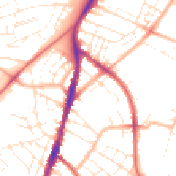
Daytime· 07:00 – 23:00
51.0dB

Night-time· 23:00 – 07:00
40.7dB