47 Avon Park, Bristol, BS5 9RR
About 47 Avon Park
47 Avon Park is a two-bedroom mid-terrace house in Bristol (BS5 9RR). It has a recorded floor area of 70 m² (around 753 sq ft), construction records dating it to 1900-1929 and council tax band A. The latest certificate (October 2019) shows a C (score 69), just inside the C band. The recommended improvements would push it to B (score 89).
It hasn't traded since May 2007, a hold of 19 years that's notably long for the area. That sale landed at the peak of the pre-credit-crunch market, which is a useful reference point when interpreting the price. Today's modelled estimate of £340,000 sits 114.5% above the 2007 sale of £158,500. On a £-per-square-foot basis, the last sale (£210/sq ft) was about 43.5% above the typical sold price in the postcode. At 70 m² it's 15.7% smaller than the typical home in the postcode (83 m² median across 8 EPCs). Its energy rating outperforms most of the postcode (better than 75% of similar EPCs).
What this property has
Inside
- Bedrooms2
Everything you need to know about 47 Avon Park
The true value, the hidden risks and the full sale history, in one report.
30-day money-back guarantee

The data behind every report


Energy performance
EPC Rating
Planning history
47 Avon Park has no planning applications on record.
Notable planning nearby
23applications of note in the surrounding area
We flagged 1 thing worth checking at 47 Avon Park
Independent checks surfaced things a buyer would want to understand before offering. The report explains each one in full, with the underlying data and what to ask.
- Signs of HMO activity in the area
30-day money-back guarantee
Sales history & valuation
The latest sale landed at the peak of the pre-credit-crunch market — a high-water reference point.
£340,000
Modelled from EPC, postcode comparables.
£158,500
Recorded with HM Land Registry.
Sales timeline
17 May 2007Most recent
£158,500
Median price across the last 5 sales in BS5 9RR: £365,000 (2025–2017).
Versus other Avon Park homes
Floor Area for 47 Avon Park lags the street by a wide margin.
Price per m²
£2,264
Street avg £3,372
Floor Area
70 m²
Street avg 87 m²
Habitable Rooms
3 rooms
Street avg 4 rooms
CO₂ Emissions
2.5 t/year
Street avg 3.7 t/year
Everything you need to know about 47 Avon Park
The true value, the hidden risks and the full sale history, in one report.
30-day money-back guarantee
The data behind every report
Similar properties nearby
1 Claremont Terrace
BS5 9NX
1 Cambridge Street, Redfield
BS5 9QH
1 Bradhurst Street
BS5 9UB
1 Barnes Street
BS5 9HB
1 Carlton Park
BS5 9DA
1 Baden Road, St George
BS5 9QE
1 Bourneville Road
BS5 9AL
1 Cooksley Road
BS5 9DW
The neighbourhood at a glance
Rail-style transport is unusually close for this postcode.
Crime
11/mo
Steady year-on-year across the wider district.
Nearest stop
0.1 km
Orchard Square — bus stop.
Closest school
0.2 km
St Patrick's Catholic Primary School. 43 schools nearby.
Go deeper on the local area
The full report breaks down crime, transport links, schools and air quality in depth.
Road noise across the postcode
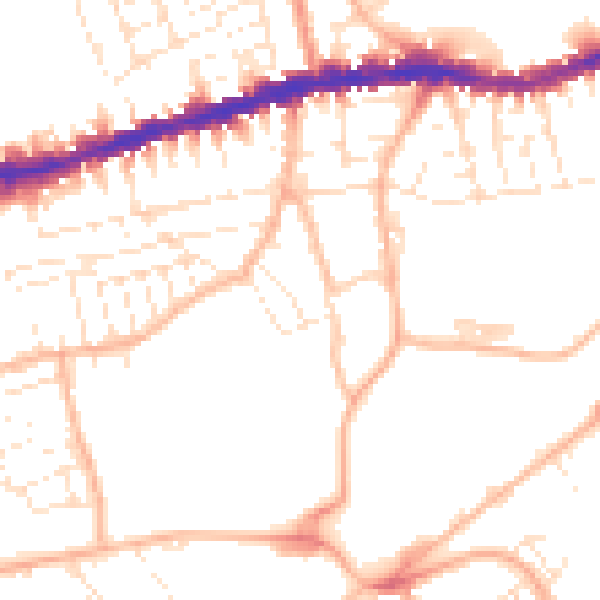
Daytime· 07:00 – 23:00
51.4dB

Night-time· 23:00 – 07:00
40.4dB