9 Belfry Avenue, Bristol, BS5 7PL
About 9 Belfry Avenue
9 Belfry Avenue is a three-bedroom mid-terrace house in Bristol (BS5 7PL). It has a recorded floor area of 97 m² (around 1044 sq ft), construction records dating it to 1900-1929 and council tax band B. The latest certificate (July 2016) shows an E (score 53), well below the UK norm with real room to improve. The recommended improvements would lift it to B (score 83), a 3-band jump.
Across 1995–2019, sale prices on this property compounded at 8.9% per year. Today's modelled estimate of £352,000 is 36.7% above the 2019 sale price. On a £-per-square-foot basis, the last sale (£247/sq ft) was about 37.4% above the typical sold price in the postcode. Sold August 2019 for £257,500.
What this property has
Inside
- Bedrooms3
Everything you need to know about 9 Belfry Avenue
The true value, the hidden risks and the full sale history, in one report.
30-day money-back guarantee

The data behind every report


Energy performance
Recommended upgrades on file would lift this property by multiple EPC bands.
EPC Rating
Planning history
9 Belfry Avenue has no planning applications on record.
Notable planning nearby
7applications of note in the surrounding area
We flagged 1 thing worth checking at 9 Belfry Avenue
Independent checks surfaced things a buyer would want to understand before offering. The report explains each one in full, with the underlying data and what to ask.
- Signs of HMO activity in the area
30-day money-back guarantee
Sales history & valuation
9 Belfry Avenue has more than quadrupled in price since its earliest registered sale in 1995.
£352,000
Modelled from EPC, postcode comparables and a sale-price growth of 8.9% per year over 24 years.
£257,500
Growth on file: 8.9% per year over 24 years.
Sales timeline
29 August 2019Most recent
£257,500
+18.4%over 2 years15 September 2016
£217,500
+559.1%over 21 years13 June 1995
£33,000
Median price across the last 5 sales in BS5 7PL: £300,000 (2025–2021).
Versus other Belfry Avenue homes
CO₂ Emissions for 9 Belfry Avenue lags the street by a wide margin.
Price per m²
£2,655
Street avg £2,717
Floor Area
97 m²
Street avg 96 m²
Habitable Rooms
5 rooms
Street avg 5 rooms
CO₂ Emissions
5.5 t/year
Street avg 3.8 t/year
Everything you need to know about 9 Belfry Avenue
The true value, the hidden risks and the full sale history, in one report.
30-day money-back guarantee
The data behind every report
Similar properties nearby
The neighbourhood at a glance
Daytime road noise here sits well below conversation level — a quiet pocket of the postcode.
Crime
11/mo
Steady year-on-year across the wider district.
Nearest stop
0.1 km
Glen Park — bus stop.
Closest school
0.2 km
Air Balloon Hill Primary School. 40 schools nearby.
Go deeper on the local area
The full report breaks down crime, transport links, schools and air quality in depth.
Road noise across the postcode
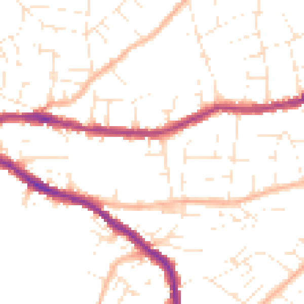
Daytime· 07:00 – 23:00
49.5dB

Night-time· 23:00 – 07:00
39.6dB