9 Ashdene Avenue, Bristol, BS5 6QH
About 9 Ashdene Avenue
9 Ashdene Avenue is a three-bedroom detached house in Bristol (BS5 6QH). It has a recorded floor area of 86 m² (around 926 sq ft), construction records dating it to 2003-2006 and council tax band C. The latest certificate (May 2024) shows a C (score 74). The rating has held steady at C across 2 certificates since January 2012. Between certificates, lighting went from Very Poor to Very Good. The recommended improvements would push it to B (score 86).
Untraded for 18 years, with the last transfer in March 2008. That sale landed at the peak of the pre-credit-crunch market, which is a useful reference point when interpreting the price. Today's modelled estimate of £393,000 sits 87.1% above the 2008 sale of £210,000.
What this property has
Inside
- Bedrooms3
- Bathrooms1
- Dining roomYes
Outside
- DrivewayYes
Building
- Heating systemGas
Everything you need to know about 9 Ashdene Avenue
The true value, the hidden risks and the full sale history, in one report.
30-day money-back guarantee

The data behind every report


Energy performance
EPC Rating
Property Improvements
Changes detected from historical EPC data
More low energy lighting installed
Planning history
9 Ashdene Avenue has no planning applications on record.
Notable planning nearby
30applications of note in the surrounding area
We flagged 1 thing worth checking at 9 Ashdene Avenue
Independent checks surfaced things a buyer would want to understand before offering. The report explains each one in full, with the underlying data and what to ask.
- Signs of HMO activity in the area
30-day money-back guarantee
Sales history & valuation
The latest sale landed at the peak of the pre-credit-crunch market — a high-water reference point.
£393,000
Modelled from EPC, postcode comparables.
£210,000
Recorded with HM Land Registry.
Sales timeline
20 March 2008Most recent
£210,000
Median price across the last 5 sales in BS5 6QH: £295,000 (2023–2017).
Nearby sales in BS5 6QH
Versus other Ashdene Avenue homes
On years held, 9 Ashdene Avenue stands well clear of the street.
Price per m²
£2,442
Street avg £3,136
Floor Area
86 m²
Street avg 92 m²
Habitable Rooms
4 rooms
Street avg 5 rooms
CO₂ Emissions
2.4 t/year
Street avg 3.4 t/year
Everything you need to know about 9 Ashdene Avenue
The true value, the hidden risks and the full sale history, in one report.
30-day money-back guarantee
The data behind every report
Similar properties nearby
1 Camelford Road
BS5 6HW
1 Boswell Street
BS5 6SG
1 Caraway Gardens
BS5 6YG
1 Bridge View Close
BS5 6BS
1 Chapel Road, Easton
BS5 6DX
1 Argyle Street, Eastville
BS5 6PF
1 Bruce Road
BS5 6EE
1 Bridge Road, Eastville
BS5 6XG
The neighbourhood at a glance
Crime
11/mo
Steady year-on-year across the wider district.
Nearest stop
0.2 km
Huyton Road — bus stop.
Closest school
0.7 km
May Park Primary School. 42 schools nearby.
Go deeper on the local area
The full report breaks down crime, transport links, schools and air quality in depth.
Road noise across the postcode
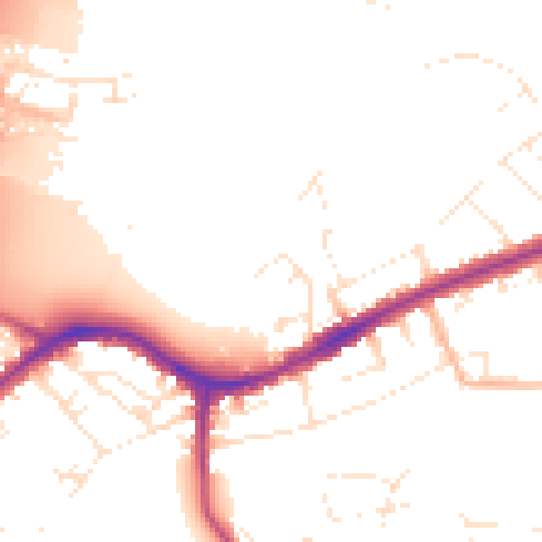
Daytime· 07:00 – 23:00
50.9dB

Night-time· 23:00 – 07:00
42.7dB