8 Carsons Road, Bristol, BS5 6FL
About 8 Carsons Road
8 Carsons Road is a three-bedroom end-of-terrace house in Bristol (BS5 6FL). It has a recorded floor area of 104 m² (around 1119 sq ft) and construction records dating it to 2021. The latest certificate (November 2021) returns a B (score 83), comfortably above the UK average. The recommended improvements would push it to A (score 93).
Across 2022–2024, sale prices on this property compounded at 2.2% per year. Most recent transfer: September 2024 at £485,000.
What this property has
Inside
- Bedrooms3
- Bathrooms2
Everything you need to know about 8 Carsons Road
The true value, the hidden risks and the full sale history, in one report.
30-day money-back guarantee

The data behind every report


Energy performance
EPC Rating
Planning history
8 Carsons Road has no planning applications on record.
Notable planning nearby
30applications of note in the surrounding area
We flagged 1 thing worth checking at 8 Carsons Road
Independent checks surfaced things a buyer would want to understand before offering. The report explains each one in full, with the underlying data and what to ask.
- Signs of HMO activity in the area
30-day money-back guarantee
Sales history & valuation
£511,000
Modelled from EPC, postcode comparables and a sale-price growth of 2.2% per year over 2 years.
£485,000
Growth on file: 2.2% per year over 2 years.
Sales timeline
18 September 2024Most recent
£485,000
+5.4%over 2 years28 March 2022
£460,000
Median price across the last 5 sales in BS5 6FL: £435,000 (2022–2022).
Versus other Carsons Road homes
8 Carsons Road outperforms the street on price per m² by a wide margin.
Price per m²
£4,663
Street avg £4,156
Floor Area
104 m²
Street avg 110 m²
CO₂ Emissions
1.6 t/year
Street avg 1.7 t/year
Years Held
2 years
Street avg 4 years
Everything you need to know about 8 Carsons Road
The true value, the hidden risks and the full sale history, in one report.
30-day money-back guarantee
The data behind every report
Similar properties nearby
1 Camelford Road
BS5 6HW
1 Boswell Street
BS5 6SG
1 Caraway Gardens
BS5 6YG
1 Bridge View Close
BS5 6BS
1 Carlyle Road
BS5 6HG
1 Ashdene Avenue
BS5 6QH
1 Chapel Road, Easton
BS5 6DX
1 Argyle Street, Eastville
BS5 6PF
The neighbourhood at a glance
Rail-style transport is unusually close for this postcode.
Crime
11/mo
Steady year-on-year across the wider district.
Nearest stop
0.3 km
Bruce Road — bus stop.
Closest school
0.3 km
Whitehall Primary School. 40 schools nearby.
Go deeper on the local area
The full report breaks down crime, transport links, schools and air quality in depth.
Road noise across the postcode
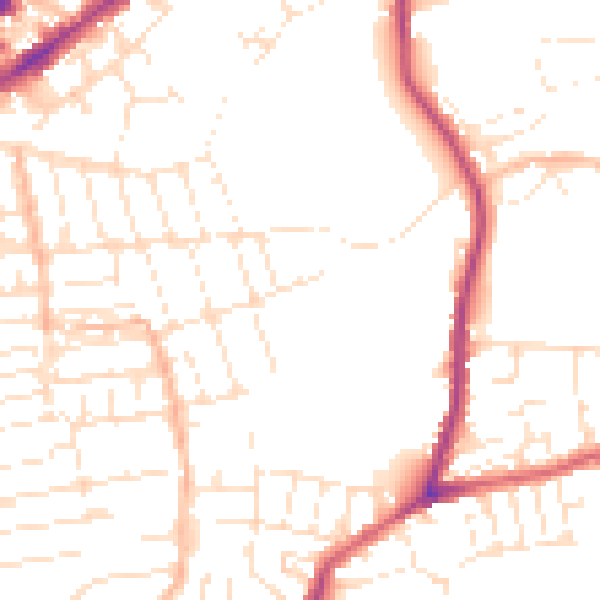
Daytime· 07:00 – 23:00
51.1dB
Night-time· 23:00 – 07:00
41.4dB