13 Chapel Road, Easton, Bristol, BS5 6DX
About 13 Chapel Road
13 Chapel Road is a three-bedroom mid-terrace house in Easton, Bristol, Bristol (BS5 6DX). It has a recorded floor area of 88 m² (around 947 sq ft), construction records dating it to 1900-1929 and council tax band A. The latest certificate (January 2021) shows a D (score 62), on the cusp of jumping into the C band. When first surveyed in March 2010 the rating was E, the property has climbed 1 band since. Between certificates, hot-water efficiency went from Average to Good and lighting went from Average to Very Good; while roof efficiency dropped from Good to Very Poor. The recommended improvements would push it to C (score 78). Records show the property has been extended at some point in its history.
One planning record on file: an extension approved in 2017. Past consents include an extension, meaningful when judging how the property has evolved. Across 1996–2021, sale prices on this property compounded at 8.9% per year. Today's modelled estimate of £459,000 is 20.8% above the 2021 sale price. On a £-per-square-foot basis, the last sale (£401/sq ft) was about 265.1% above the typical sold price in the postcode. Last sale on file: £380,000 in June 2021. That sale was during the post-pandemic price surge, when transactions cleared materially above pre-2020 trend.
What this property has
Inside
- Bedrooms3
- Bathrooms1
- Open-plan layoutYes
- Dining roomYes
Outside
- Private gardenRear
Building
- Previously extendedYes
- RefurbishedYes
Everything you need to know about 13 Chapel Road
The true value, the hidden risks and the full sale history, in one report.
30-day money-back guarantee

The data behind every report


Energy performance
EPC Rating
Property Improvements
Changes detected from historical EPC data
Heating controls upgraded for better temperature management
Hot water efficiency improved
More low energy lighting installed
Planning history
13 Chapel Road has an approved single-storey rear extension on the planning record.
- Feb 2017ExtensionFullIn report
Extension: Single storey · Rear of property
Erection of single storey rear extension and internal works
- Council
- Ashley, Easton And Lawrence Hill
- Documents
- 11 docs on file
- Reference
- 16/06834/H
We flagged 1 thing worth checking at 13 Chapel Road
Independent checks surfaced things a buyer would want to understand before offering. The report explains each one in full, with the underlying data and what to ask.
- Signs of HMO activity in the area
30-day money-back guarantee
Sales history & valuation
Latest sale on 13 Chapel Road was the highest on Land Registry record across the postcode.
£459,000
Modelled from EPC, postcode comparables and a sale-price growth of 8.9% per year over 25 years.
£380,000
Growth on file: 8.9% per year over 25 years.
Sales timeline
24 June 2021Most recent
£380,000
+148.4%over 8 years11 February 2013
£153,000
+131.8%over 12 years19 January 2001
£66,000
+37.5%25 September 2000
£48,000
+21.5%over 3 years20 November 1996
£39,500
+393.8%20 June 1996
£8,000
-82.2%9 May 1996
£45,000
Median price across the last 5 sales in BS5 6DX: £220,051 (2019–2015).
Nearby sales in BS5 6DX
12 Chapel Road, Easton, Bristol, BS5 6DX
Sold Oct 2019
£310,0001 Chapel Road, Easton, Bristol, BS5 6DX
Sold Nov 2018
£286,5002 Chapel Road, Easton, Bristol, BS5 6DX
Sold Aug 2015
£220,0514 Chapel Road, Easton, Bristol, BS5 6DX
Sold Aug 2013
£156,0005 Chapel Road, Easton, Bristol, BS5 6DX
Sold Mar 2005
£110,000
Versus other Chapel Road homes
On price per m², 13 Chapel Road stands well clear of the street.
Price per m²
£4,318
Street avg £2,251
Floor Area
88 m²
Street avg 92 m²
Habitable Rooms
5 rooms
Street avg 5 rooms
CO₂ Emissions
3.4 t/year
Street avg 4.5 t/year
Everything you need to know about 13 Chapel Road
The true value, the hidden risks and the full sale history, in one report.
30-day money-back guarantee
The data behind every report
Similar properties nearby
1 Camelford Road
BS5 6HW
1 Boswell Street
BS5 6SG
1 Caraway Gardens
BS5 6YG
1 Bridge View Close
BS5 6BS
1 Carlyle Road
BS5 6HG
1 Ashdene Avenue
BS5 6QH
1 Chapel Road, Easton
BS5 6DX
1 Argyle Street, Eastville
BS5 6PF
The neighbourhood at a glance
Rail-style transport is unusually close for this postcode.
Crime
11/mo
Steady year-on-year across the wider district.
Nearest stop
0.2 km
Stapleton Road Rail Station — railway station.
Closest school
0.4 km
E-Act Bannerman Road Community Academy. 48 schools nearby.
Go deeper on the local area
The full report breaks down crime, transport links, schools and air quality in depth.
Road noise across the postcode
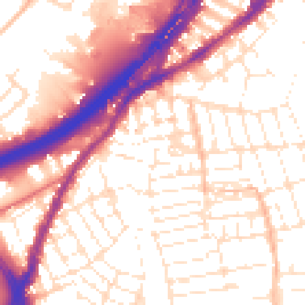
Daytime· 07:00 – 23:00
55.7dB

Night-time· 23:00 – 07:00
46.2dB