12 Chapel Road, Easton, Bristol, BS5 6DX
About 12 Chapel Road
12 Chapel Road is a three-bedroom end-of-terrace house in Easton, Bristol, Bristol (BS5 6DX). It has a recorded floor area of 77 m² (around 829 sq ft), construction records dating it to 1950-1966 and council tax band A. The latest certificate (August 2015) shows an E (score 42), well below the UK norm with real room to improve. The rating has held steady at E across 2 certificates since December 2014. Between certificates, roof efficiency dropped from Average to Very Poor. The recommended improvements would lift it to C (score 77), a 2-band jump. The latest certificate is from August 2015, so improvements made since then won't be reflected. Other recorded features include a basement.
Sold October 2019 for £310,000. Across the public record there are 4 sales, relatively high churn for a single property. At 77 m² it's 16.1% smaller than the typical home in the postcode (92 m² median across 11 EPCs). It lags the bulk of the postcode on energy efficiency (less efficient than 82% of similar EPCs). Across 1998–2019, sale prices on this property compounded at 9.5% per year. Today's modelled estimate of £387,000 is 24.8% above the 2019 sale price. On a £-per-square-foot basis, the last sale (£374/sq ft) was about 294% above the typical sold price in the postcode.
What this property has
Inside
- Bedrooms3
- Bathrooms1
- Dining roomYes
- BasementYes
Outside
- Private gardenYes
Building
- RefurbishedYes
Everything you need to know about 12 Chapel Road
The true value, the hidden risks and the full sale history, in one report.
30-day money-back guarantee

The data behind every report


Energy performance
Recommended upgrades on file would lift this property by multiple EPC bands.
EPC Expired
This certificate is over 10 years old and is no longer valid.Expired 17 Aug 2025
EPC Rating
Planning history
12 Chapel Road has no planning applications on record.
Notable planning nearby
30applications of note in the surrounding area
We flagged 1 thing worth checking at 12 Chapel Road
Independent checks surfaced things a buyer would want to understand before offering. The report explains each one in full, with the underlying data and what to ask.
- Signs of HMO activity in the area
30-day money-back guarantee
Sales history & valuation
Price for 12 Chapel Road has grown more than fourfold since the 1998 starting point.
£387,000
Modelled from EPC, postcode comparables and a sale-price growth of 9.5% per year over 21 years.
£310,000
Growth on file: 9.5% per year over 21 years.
Sales timeline
31 October 2019Most recent
£310,000
+51.2%over 4 years10 August 2015
£205,000
+173.3%over 13 years11 October 2001
£75,000
+66.9%over 3 years27 July 1998
£44,950
Median price across the last 5 sales in BS5 6DX: £220,051 (2021–2013).
Nearby sales in BS5 6DX
13 Chapel Road, Easton, Bristol, BS5 6DX
Sold Jun 2021
£380,0001 Chapel Road, Easton, Bristol, BS5 6DX
Sold Nov 2018
£286,5002 Chapel Road, Easton, Bristol, BS5 6DX
Sold Aug 2015
£220,0514 Chapel Road, Easton, Bristol, BS5 6DX
Sold Aug 2013
£156,0005 Chapel Road, Easton, Bristol, BS5 6DX
Sold Mar 2005
£110,000
Versus other Chapel Road homes
On epc rating, 12 Chapel Road runs well behind the street norm.
Price per m²
£4,026
Street avg £2,293
Floor Area
77 m²
Street avg 93 m²
Habitable Rooms
4 rooms
Street avg 5 rooms
CO₂ Emissions
5.8 t/year
Street avg 4.2 t/year
Everything you need to know about 12 Chapel Road
The true value, the hidden risks and the full sale history, in one report.
30-day money-back guarantee
The data behind every report
Similar properties nearby
1 Camelford Road
BS5 6HW
1 Boswell Street
BS5 6SG
1 Caraway Gardens
BS5 6YG
1 Bridge View Close
BS5 6BS
1 Argyle Street, Eastville
BS5 6PF
1 Chapel Road, Easton
BS5 6DX
1 Bruce Road
BS5 6EE
1 Bridge Road, Eastville
BS5 6XG
The neighbourhood at a glance
Rail-style transport is unusually close for this postcode.
Crime
11/mo
Steady year-on-year across the wider district.
Nearest stop
0.2 km
Stapleton Road Rail Station — railway station.
Closest school
0.4 km
E-Act Bannerman Road Community Academy. 48 schools nearby.
Go deeper on the local area
The full report breaks down crime, transport links, schools and air quality in depth.
Road noise across the postcode
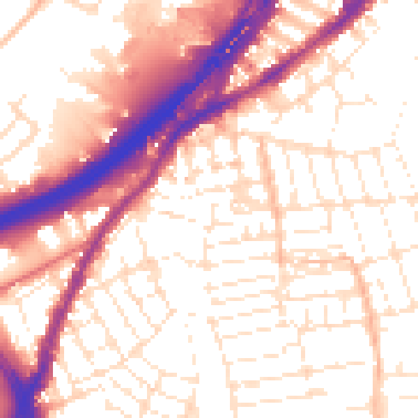
Daytime· 07:00 – 23:00
55.7dB

Night-time· 23:00 – 07:00
46.2dB