15 Roycroft Road, Filton, Bristol, BS34 7NL
About 15 Roycroft Road
15 Roycroft Road is a two-bedroom mid-terrace house in Filton, Bristol, Bristol (BS34 7NL). It has a recorded floor area of 72 m² (around 775 sq ft), construction records dating it to 1950-1966 and council tax band B. The latest certificate (October 2020) shows a C (score 70). When first surveyed in May 2009 the rating was D, the property has climbed 1 band since. Between certificates, wall efficiency went from Poor to Average, roof efficiency went from Average to Good and window efficiency went from Very Poor to Good. The recommended improvements would push it to B (score 87).
Sold February 2021 for £225,000. Across the public record there are 4 sales, relatively high churn for a single property. That sale was during the post-pandemic price surge, when transactions cleared materially above pre-2020 trend. Across 2004–2021, sale prices on this property compounded at 6.6% per year. Today's modelled estimate of £283,000 is 25.8% above the 2021 sale price. On a £-per-square-foot basis, the last sale (£290/sq ft) was about 18.8% above the typical sold price in the postcode. At 72 m² it's 18.2% smaller than the typical home in the postcode (88 m² median across 7 EPCs).
What this property has
Inside
- Bedrooms2
- Bathrooms1
Outside
- Private gardenYes
- GarageDouble
Building
- Heating systemGas
Everything you need to know about 15 Roycroft Road
The true value, the hidden risks and the full sale history, in one report.
Pick your report · every report is £14.99
One time fee only - money back guarantee

The data behind every report


Energy performance
EPC Rating
Property Improvements
Changes detected from historical EPC data
Hot water efficiency improved
Windows upgraded, improving insulation
Cavity wall insulation installed
Roof insulation improved
More low energy lighting installed
Get a survey for this property
Level 2 HomeBuyer Report
We've checked 10 risk factors against the available data for this property and believe a Level 2 HomeBuyer Report could be a suitable option for you.
From £545 · Includes VAT
Planning history
15 Roycroft Road has no planning applications on record.
But the area is active
130 notable applications nearby — larger schemes and conversions that could reshape the street. The report maps them all.
Sales history & valuation
15 Roycroft Road has more than doubled in price since the earliest registered sale in 2004.
£283,000
Modelled from EPC, postcode comparables and a sale-price growth of 6.6% per year over 16 years.
£225,000
Growth on file: 6.6% per year over 16 years.
Sales timeline
12 February 2021Most recent
£225,000
+9.8%over 3 years30 May 2017
£205,000
+43.4%over 7 years12 February 2010
£143,000
+78.8%over 5 years1 November 2004
£80,000
Median price across the last 5 sales in BS34 7NL: £320,000 (2024–2021).
Nearby sales in BS34 7NL
19 Roycroft Road, Filton, Bristol, BS34 7NL
Sold Aug 2024
£287,00023 Roycroft Road, Filton, Bristol, BS34 7NL
Sold Sept 2022
£360,0003 Roycroft Road, Filton, Bristol, BS34 7NL
Sold Mar 2022
£320,0001 Roycroft Road, Filton, Bristol, BS34 7NL
Sold Dec 2021
£336,0005 Roycroft Road, Filton, Bristol, BS34 7NL
Sold Jun 2021
£280,000
Versus other Roycroft Road homes
15 Roycroft Road outperforms the street on years held by a wide margin.
Price per m²
£3,125
Street avg £3,182
Floor Area
72 m²
Street avg 94 m²
Habitable Rooms
3 rooms
Street avg 5 rooms
CO₂ Emissions
2.6 t/year
Street avg 3.6 t/year
Everything you need to know about 15 Roycroft Road
The true value, the hidden risks and the full sale history, in one report.
Pick your report · every report is £14.99
One time fee only - money back guarantee
The data behind every report
Similar properties nearby
1 Elm Park, Filton
BS34 7PR
1 Canberra Grove, Filton
BS34 7DH
1 Blenheim Drive, Filton
BS34 7AX
1 Concorde House, Bevan Court, Filton
BS34 7QN
1 Glebelands Road, Filton
BS34 7AD
1 Charlton Avenue
BS34 7QX
1 Mackie Road, Filton
BS34 7LY
1 Meadowsweet Avenue, Filton
BS34 7AN
The neighbourhood at a glance
Rail-style transport is unusually close for this postcode.
Crime
6/mo
Steady year-on-year across the wider district.
Nearest stop
0.1 km
Shellard Road — bus stop.
Closest school
0.4 km
Shield Road Primary School. 24 schools nearby.
Go deeper on the local area
A Local Area report breaks down crime, transport links, schools and air quality in depth.
Road noise across the postcode
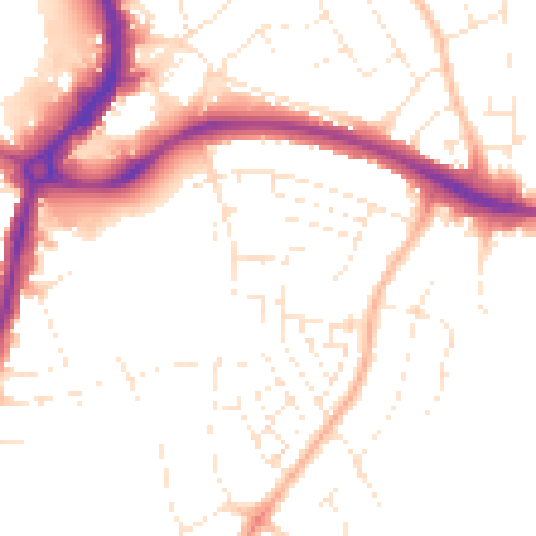
Daytime· 07:00 – 23:00
50.7dB

Night-time· 23:00 – 07:00
41.0dB