20 Tetbury Close, Little Stoke, Bristol, BS34 6SD
About 20 Tetbury Close
20 Tetbury Close is a three-bedroom semi-detached house in Little Stoke, Bristol, Bristol (BS34 6SD). It has a recorded floor area of 60 m² (around 646 sq ft), construction records dating it to 1983-1990 and council tax band C. The latest certificate (June 2025) shows a C (score 72). When first surveyed in November 2008 the rating was D, the property has climbed 1 band since. Between certificates, wall efficiency went from Average to Good, window efficiency went from Very Poor to Average and hot-water efficiency went from Average to Good. The recommended improvements would push it to B (score 88). The home occupies a cul-de-sac position.
Untraded for 25 years, with the last transfer in April 2001. Only one transfer is on record with HM Land Registry, suggesting it has stayed in the same hands for a long time. Today's modelled estimate of £297,000 sits 266.7% above the 2001 sale of £81,000. On a £-per-square-foot basis, the last sale (£125/sq ft) was about 53.2% below the postcode norm.
What this property has
Inside
- Bedrooms3
Outside
- Private gardenYes
- ParkingAllocated
- Cul-de-sacYes
Building
- Heating systemGas
Everything you need to know about 20 Tetbury Close
The true value, the hidden risks and the full sale history, in one report.
Pick your report · every report is £14.99
One time fee only - money back guarantee

The data behind every report


Energy performance
EPC Rating
Property Improvements
Changes detected from historical EPC data
Heating controls upgraded for better temperature management
Hot water efficiency improved
Wall insulation upgraded
Low energy lighting percentage decreased
Single glazing replaced with double or better glazing
Roof insulation improved
More low energy lighting installed
Get a survey for this property
Level 2 HomeBuyer Report
We've checked 10 risk factors against the available data for this property and believe a Level 2 HomeBuyer Report could be a suitable option for you.
From £545 · Includes VAT
Planning history
20 Tetbury Close has no planning applications on record.
But the area is active
5 notable applications nearby — larger schemes and conversions that could reshape the street. The report maps them all.
Sales history & valuation
20 Tetbury Close's estimated value is more than triple its earliest registered sale price (2001).
£297,000
Modelled from EPC, postcode comparables.
£81,000
Recorded with HM Land Registry.
Sales timeline
26 April 2001Most recent
£81,000
Median price across the last 5 sales in BS34 6SD: £287,250 (2025–2021).
Nearby sales in BS34 6SD
25 Tetbury Close, Little Stoke, Bristol, BS34 6SD
Sold Jul 2025
£295,50011 Tetbury Close, Little Stoke, Bristol, BS34 6SD
Sold Dec 2022
£356,00022 Tetbury Close, Little Stoke, Bristol, BS34 6SD
Sold Apr 2021
£257,00021 Tetbury Close, Little Stoke, Bristol, BS34 6SD
Sold Dec 2019
£220,0007 Tetbury Close, Little Stoke, Bristol, BS34 6SD
Sold Aug 2015
£245,000
Versus other Tetbury Close homes
20 Tetbury Close is notably below the street on price per m².
Price per m²
£1,350
Street avg £3,602
Floor Area
60 m²
Street avg 69 m²
Habitable Rooms
3 rooms
Street avg 4 rooms
CO₂ Emissions
2.0 t/year
Street avg 3.4 t/year
Everything you need to know about 20 Tetbury Close
The true value, the hidden risks and the full sale history, in one report.
Pick your report · every report is £14.99
One time fee only - money back guarantee
The data behind every report
Similar properties nearby
1 Farley Close, Little Stoke
BS34 6HB
1 Filby Drive, Little Stoke
BS34 6EL
1 Collins Avenue, Little Stoke
BS34 6JZ
1 Brockley Close, Little Stoke
BS34 6EZ
1 Bourton Avenue, Patchway
BS34 6EB
1 Bibury Avenue, Patchway
BS34 6DE
1 Cranham Drive, Patchway
BS34 6AQ
1 Gallivan Close, Little Stoke
BS34 6RW
The neighbourhood at a glance
Rail-style transport is unusually close for this postcode.
Crime
6/mo
Steady year-on-year across the wider district.
Nearest stop
0.1 km
Farley Close — bus stop.
Closest school
0.3 km
Holy Family Catholic Primary School. 20 schools nearby.
Go deeper on the local area
A Local Area report breaks down crime, transport links, schools and air quality in depth.
Road noise across the postcode
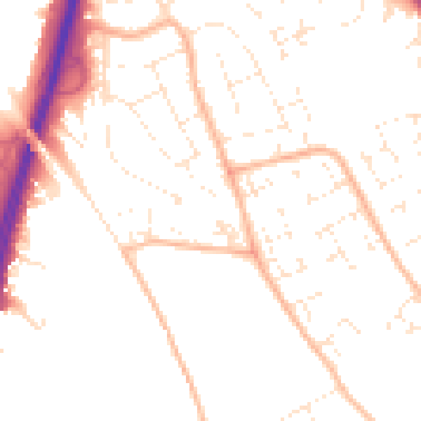
Daytime· 07:00 – 23:00
50.4dB

Night-time· 23:00 – 07:00
40.3dB