21 Tetbury Close, Little Stoke, Bristol, BS34 6SD
About 21 Tetbury Close
21 Tetbury Close is a two-bedroom semi-detached house in Little Stoke, Bristol, Bristol (BS34 6SD). It has a recorded floor area of 59 m² (around 635 sq ft), construction records dating it to 1976-1982 and council tax band B. The latest certificate (August 2015) shows a D (score 61), on the cusp of jumping into the C band. The recommended improvements would lift it to B (score 89), a 2-band jump. The latest certificate is from August 2015, so improvements made since then won't be reflected. The home occupies a cul-de-sac position.
Across 2000–2019, sale prices on this property compounded at 6% per year. Today's modelled estimate of £292,000 is 32.7% above the 2019 sale price. On a £-per-square-foot basis, the last sale (£346/sq ft) was about 29.4% above the typical sold price in the postcode. At 59 m² it's 15.7% smaller than the typical home in the postcode (70 m² median across 24 EPCs). Most recent transfer: December 2019 at £220,000.
What this property has
Inside
- Bedrooms2
- Bathrooms1
Outside
- Private gardenYes
- ParkingOff street
- Cul-de-sacYes
Building
- Heating systemGas
- RefurbishedYes
Everything you need to know about 21 Tetbury Close
The true value, the hidden risks and the full sale history, in one report.
Pick your report · every report is £14.99
One time fee only - money back guarantee

The data behind every report


Energy performance
Recommended upgrades on file would lift this property by multiple EPC bands.
EPC Expired
This certificate is over 10 years old and is no longer valid.Expired 19 Aug 2025
EPC Rating
Get a survey for this property
Level 2 HomeBuyer Report
We've checked 10 risk factors against the available data for this property and believe a Level 2 HomeBuyer Report could be a suitable option for you.
From £545 · Includes VAT
Planning history
21 Tetbury Close has no planning applications on record.
But the area is active
5 notable applications nearby — larger schemes and conversions that could reshape the street. The report maps them all.
Sales history & valuation
Sale price has grown by over 3x since 2000.
£292,000
Modelled from EPC, postcode comparables and a sale-price growth of 6.0% per year over 19 years.
£220,000
Growth on file: 6.0% per year over 19 years.
Sales timeline
19 December 2019Most recent
£220,000
+35.0%over 12 years28 June 2007
£163,000
+126.4%over 6 years3 September 2000
£72,000
Median price across the last 5 sales in BS34 6SD: £287,250 (2025–2021).
Nearby sales in BS34 6SD
25 Tetbury Close, Little Stoke, Bristol, BS34 6SD
Sold Jul 2025
£295,50011 Tetbury Close, Little Stoke, Bristol, BS34 6SD
Sold Dec 2022
£356,00022 Tetbury Close, Little Stoke, Bristol, BS34 6SD
Sold Apr 2021
£257,0007 Tetbury Close, Little Stoke, Bristol, BS34 6SD
Sold Aug 2015
£245,00015 Tetbury Close, Little Stoke, Bristol, BS34 6SD
Sold Feb 2012
£147,000
Versus other Tetbury Close homes
Price per m²
£3,729
Street avg £3,206
Floor Area
59 m²
Street avg 69 m²
Habitable Rooms
3 rooms
Street avg 4 rooms
CO₂ Emissions
3.1 t/year
Street avg 3.4 t/year
Everything you need to know about 21 Tetbury Close
The true value, the hidden risks and the full sale history, in one report.
Pick your report · every report is £14.99
One time fee only - money back guarantee
The data behind every report
Similar properties nearby
1 Gallivan Close, Little Stoke
BS34 6RW
1 Farley Close, Little Stoke
BS34 6HB
1 Filby Drive, Little Stoke
BS34 6EL
1 Collins Avenue, Little Stoke
BS34 6JZ
1 Brockley Close, Little Stoke
BS34 6EZ
1 Bourton Avenue, Patchway
BS34 6EB
1 Bibury Avenue, Patchway
BS34 6DE
1 Cranham Drive, Patchway
BS34 6AQ
The neighbourhood at a glance
Rail-style transport is unusually close for this postcode.
Crime
6/mo
Steady year-on-year across the wider district.
Nearest stop
0.1 km
Farley Close — bus stop.
Closest school
0.3 km
Holy Family Catholic Primary School. 20 schools nearby.
Go deeper on the local area
A Local Area report breaks down crime, transport links, schools and air quality in depth.
Road noise across the postcode
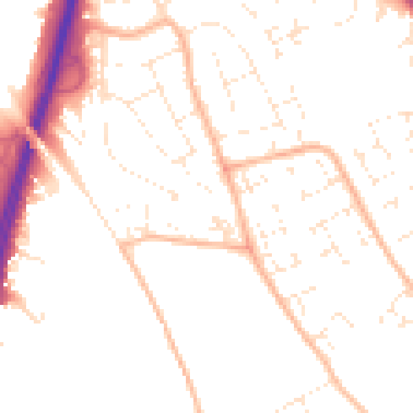
Daytime· 07:00 – 23:00
50.4dB

Night-time· 23:00 – 07:00
40.3dB