1 Filby Drive, Little Stoke, Bristol, BS34 6EL
About 1 Filby Drive
1 Filby Drive is a three-bedroom end-of-terrace house in Little Stoke, Bristol, Bristol (BS34 6EL). It has a recorded floor area of 69 m² (around 743 sq ft), construction records dating it to 1967-1975 and council tax band B. The latest certificate (March 2023) shows a D (score 66), on the cusp of jumping into the C band. The rating has held steady at D across 2 certificates since April 2013. Between certificates, lighting went from Very Poor to Very Good; while wall efficiency dropped from Good to Average and roof efficiency dropped from Average to Very Poor. The recommended improvements would lift it to B (score 81), a 2-band jump. Other recorded features include a conservatory.
Most recent transfer was May 2025 at £295,000 — fresh data. 2 planning records sit against the property, 2 approved, 0 refused. Past consents include an extension and a conservatory, meaningful when judging how the property has evolved. Across 1996–2025, sale prices on this property compounded at 6.6% per year. Today's modelled estimate of £328,000 is 11.2% above the 2025 sale price.
What this property has
Inside
- Bedrooms3
- Bathrooms1
- EnsuiteYes
- ConservatoryYes
Outside
- Private gardenYes
- GarageIntegral
Building
- RefurbishedYes
Everything you need to know about 1 Filby Drive
The true value, the hidden risks and the full sale history, in one report.
Pick your report · every report is £14.99
One time fee only - money back guarantee

The data behind every report


Energy performance
Recommended upgrades on file would lift this property by multiple EPC bands.
EPC Rating
Property Improvements
Changes detected from historical EPC data
More low energy lighting installed
Get a survey for this property
Level 2 HomeBuyer Report
We've checked 10 risk factors against the available data for this property and believe a Level 2 HomeBuyer Report could be a suitable option for you.
From £595 · Includes VAT
Planning history
1 Filby Drive has an approved rear extension on the planning record.
2 applications on record at 1 Filby Drive, Little Stoke, Bristol, BS34 6EL
- Jul 2009ConservatoryFullOutcome in report
Extension: Rear of property
Erection of rear conservatory.
Extension- Documents
- 13 docs on file
- Reference
- PT09/1228/F
- More recent applications — locked
- FullFeb 2011Decision
Unlock 1 Filby Drive, Little Stoke, Bristol, BS34 6EL's full planning history
You're seeing the shape of it. The report has the substance.
- Every decision — granted, refused or withdrawn (2 on record)
- All 2 applications on this property in full, plus 5 notable nearby
- The 27 documents, officer reports & conditions
- What the pattern means for extending or converting here
One time fee only - money back guarantee
Sales history & valuation
1 Filby Drive has more than quadrupled in price since its earliest registered sale in 1996.
£328,000
Modelled from EPC, postcode comparables and a sale-price growth of 6.6% per year over 29 years.
£295,000
Growth on file: 6.6% per year over 29 years.
Sales timeline
27 May 2025Most recent
£295,000
+29.7%over 9 years14 March 2016
£227,500
+33.8%over 2 years4 July 2013
£170,000
30 November 2006
£169,995
+261.7%over 10 years27 June 1996
£47,000
Median price across the last 3 sales in BS34 6EL: £61,500 (2017–1997).
Everything you need to know about 1 Filby Drive
The true value, the hidden risks and the full sale history, in one report.
Pick your report · every report is £14.99
One time fee only - money back guarantee
The data behind every report
Similar properties nearby
1 Collins Avenue, Little Stoke
BS34 6JZ
1 Farley Close, Little Stoke
BS34 6HB
1 Brockley Close, Little Stoke
BS34 6EZ
1 Bourton Avenue, Patchway
BS34 6EB
1 Bibury Avenue, Patchway
BS34 6DE
1 Cranham Drive, Patchway
BS34 6AQ
1 Gallivan Close, Little Stoke
BS34 6RW
1 Brookcote Drive, Little Stoke
BS34 6LG
The neighbourhood at a glance
Rail-style transport is unusually close for this postcode.
Crime
6/mo
Steady year-on-year across the wider district.
Nearest stop
0.1 km
Wroxham Drive — bus stop.
Closest school
0.2 km
Stoke Lodge Primary School. 20 schools nearby.
Go deeper on the local area
A Local Area report breaks down crime, transport links, schools and air quality in depth.
Road noise across the postcode
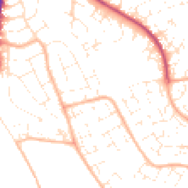
Daytime· 07:00 – 23:00
50.7dB

Night-time· 23:00 – 07:00
39.7dB