1 Amberley Road, Patchway, Bristol, BS34 6BU
About 1 Amberley Road
1 Amberley Road is a detached house in Patchway, Bristol, Bristol (BS34 6BU). It has a recorded floor area of 39 m² (around 420 sq ft), construction records dating it to 2007-2011 and council tax band C. The latest certificate (June 2023) shows a C (score 75), near the top of the C band. The rating has held steady at C across 2 certificates since June 2013. Between certificates, lighting went from Very Poor to Very Good. The recommended improvements would lift it to A (score 92), a 2-band jump.
At 39 m² it sits well below the postcode median (78 m² across 4 EPCs), making it one of the more compact homes locally.
Everything you need to know about 1 Amberley Road
The true value, the hidden risks and the full sale history, in one report.
Pick your report · every report is £14.99
One time fee only - money back guarantee

The data behind every report


Energy performance
1 Amberley Road's carbon output is low for the local stock.
EPC Rating
Property Improvements
Changes detected from historical EPC data
Loft insulation upgraded to recommended levels
More low energy lighting installed
Get a survey for this property
Level 2 HomeBuyer Report
We've checked 10 risk factors against the available data for this property and believe a Level 2 HomeBuyer Report could be a suitable option for you.
From £545 · Includes VAT
Planning history
1 Amberley Road has no planning applications on record.
But the area is active
5 notable applications nearby — larger schemes and conversions that could reshape the street. The report maps them all.
Sales history & valuation
1 Amberley Road has no Land Registry sales on file, suggesting it has stayed in the same hands since registration began.
£270,000
Modelled from EPC, postcode comparables.
No sales recorded with HM Land Registry
That can mean the property has never traded since the registry began publishing in 1995, was a new build that hasn't been registered yet, or is held in the same hands long-term.
Median price across the last 5 sales in BS34 6BU: £154,000 (2021–2000).
Nearby sales in BS34 6BU
8 Amberley Road, Patchway, Bristol, BS34 6BU
Sold Jun 2021
£340,0007 Amberley Road, Patchway, Bristol, BS34 6BU
Sold Oct 2011
£165,0005 Amberley Road, Patchway, Bristol, BS34 6BU
Sold Nov 2009
£154,00012 Amberley Road, Patchway, Bristol, BS34 6BU
Sold Feb 2000
£83,0003 Amberley Road, Patchway, Bristol, BS34 6BU
Sold Mar 1998
£75,000
Versus other Amberley Road homes
On epc rating, 1 Amberley Road stands well clear of the street.
EPC Rating
75 (C)
Street avg 67 (D)
Floor Area
39 m²
Street avg 75 m²
CO₂ Emissions
1.3 t/year
Street avg 3.0 t/year
Habitable Rooms
2 rooms
Street avg 4 rooms
Everything you need to know about 1 Amberley Road
The true value, the hidden risks and the full sale history, in one report.
Pick your report · every report is £14.99
One time fee only - money back guarantee
The data behind every report
Similar properties nearby
1 Hercules Close, Little Stoke
BS34 6JE
1 Gifford Crescent, Little Stoke
BS34 6JJ
1 Elm Close, Little Stoke
BS34 6RG
1 Gallivan Close, Little Stoke
BS34 6RW
1 Ash Close, Little Stoke
BS34 6RE
1 Farley Close, Little Stoke
BS34 6HB
1 Filby Drive, Little Stoke
BS34 6EL
1 Collins Avenue, Little Stoke
BS34 6JZ
The neighbourhood at a glance
Crime
6/mo
Steady year-on-year across the wider district.
Nearest stop
0.1 km
Stoke Lane — bus stop.
Closest school
0.3 km
Holy Family Catholic Primary School. 20 schools nearby.
Go deeper on the local area
A Local Area report breaks down crime, transport links, schools and air quality in depth.
Road noise across the postcode
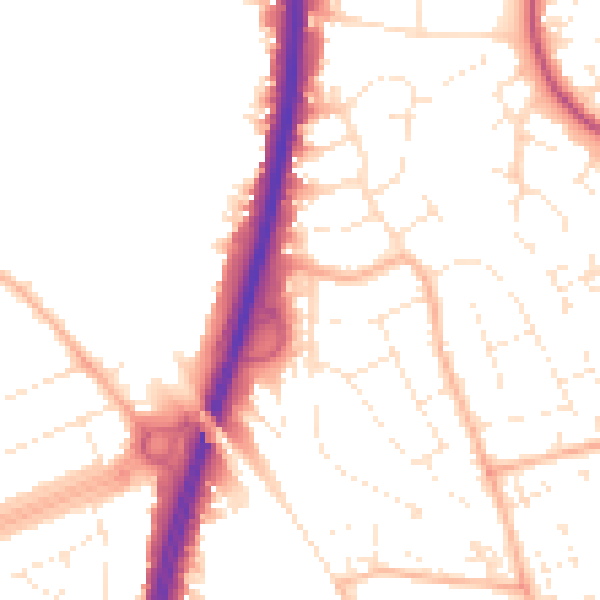
Daytime· 07:00 – 23:00
52.4dB

Night-time· 23:00 – 07:00
42.9dB