12 Highnam Close, Patchway, Bristol, BS34 6AB
About 12 Highnam Close
12 Highnam Close is a semi-detached house in Patchway, Bristol, Bristol (BS34 6AB). It has a recorded floor area of 83 m² (around 893 sq ft), construction records dating it to 1950-1966 and council tax band D. The latest certificate (February 2026) shows a D (score 67), on the cusp of jumping into the C band. The recommended improvements would push it to C (score 79). This certificate was lodged in the last six months, so the rating reflects current condition.
Untraded for 27 years, with the last transfer in March 1999. Only one transfer is on record with HM Land Registry, suggesting it has stayed in the same hands for a long time. On a £-per-square-foot basis, the last sale (£102/sq ft) was about 57.2% below the postcode norm.
Everything you need to know about 12 Highnam Close
The true value, the hidden risks and the full sale history, in one report.
Pick your report · every report is £14.99
One time fee only - money back guarantee

The data behind every report


Energy performance
The EPC has just been inspected, so the rating reflects current condition.
EPC Rating
Get a survey for this property
Level 2 HomeBuyer Report
We've checked 10 risk factors against the available data for this property and believe a Level 2 HomeBuyer Report could be a suitable option for you.
Planning history
12 Highnam Close has no planning applications on record.
But the area is active
5 notable applications nearby — larger schemes and conversions that could reshape the street. The report maps them all.
Sales history & valuation
12 Highnam Close has been held in the same hands since before 2000.
£91,500
Recorded with HM Land Registry.
Sales timeline
18 March 1999Most recent
£91,500
Median price across the last 5 sales in BS34 6AB: £265,000 (2024–2013).
Nearby sales in BS34 6AB
3 Highnam Close, Patchway, Bristol, BS34 6AB
Sold Mar 2024
£295,0002 Highnam Close, Patchway, Bristol, BS34 6AB
Sold Aug 2019
£265,0005 Highnam Close, Patchway, Bristol, BS34 6AB
Sold Jul 2019
£268,00021 Highnam Close, Patchway, Bristol, BS34 6AB
Sold Aug 2017
£258,0006 Highnam Close, Patchway, Bristol, BS34 6AB
Sold Feb 2013
£200,000
Versus other Highnam Close homes
Years Held for 12 Highnam Close runs comfortably ahead of the street norm.
Price per m²
£1,102
Street avg £2,499
Floor Area
83 m²
Street avg 95 m²
Habitable Rooms
5 rooms
Street avg 5 rooms
CO₂ Emissions
2.9 t/year
Street avg 4.0 t/year
Everything you need to know about 12 Highnam Close
The true value, the hidden risks and the full sale history, in one report.
Pick your report · every report is £14.99
One time fee only - money back guarantee
The data behind every report
Similar properties nearby
1 Albion Terrace, The Common, Patchway
BS34 6AN
1 Amberley Road, Patchway
BS34 6BU
1 Ash Close, Little Stoke
BS34 6RE
1 Bibury Avenue, Patchway
BS34 6DE
1 Bourton Avenue, Patchway
BS34 6EB
1 Bourton Close, Patchway
BS34 6EQ
1 Bowsland Court, The Common East, Bradley Stoke
BS34 6BA
1 Braydon Avenue, Little Stoke
BS34 6EH
The neighbourhood at a glance
Crime
6/mo
Steady year-on-year across the wider district.
Nearest stop
0.2 km
Stoke Lane — bus stop.
Closest school
0.3 km
St Chad's Patchway CofE Primary School. 19 schools nearby.
Go deeper on the local area
A Local Area report breaks down crime, transport links, schools and air quality in depth.
Road noise across the postcode
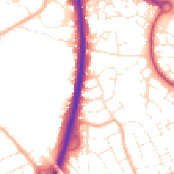
Daytime· 07:00 – 23:00
52.8dB

Night-time· 23:00 – 07:00
43.7dB