214 Rodway Road, Patchway, Bristol, BS34 5EE
About 214 Rodway Road
214 Rodway Road is a three-bedroom semi-detached house in Patchway, Bristol, Bristol (BS34 5EE). It has a recorded floor area of 79 m² (around 850 sq ft), construction records dating it to 1996-2002 and council tax band B. The latest certificate (April 2012) shows a C (score 72). The rating has held steady at C across 2 certificates since March 2012. The recommended improvements would push it to B (score 86). The latest certificate is from April 2012, so improvements made since then won't be reflected.
At 79 m² the property is well over the postcode median (46 m² across 36 EPCs), placing it in the larger end of the local stock. Across 2003–2012, sale prices on this property compounded at 6.2% per year. Today's modelled estimate of £274,000 sits 71.2% above the 2012 sale of £160,000. On a £-per-square-foot basis, the last sale (£188/sq ft) was about 27.2% below the postcode norm. Last sold in July 2012, so it's been off the market for around 14 years.
What this property has
Inside
- Bedrooms3
Everything you need to know about 214 Rodway Road
The true value, the hidden risks and the full sale history, in one report.
Pick your report · every report is £14.99
One time fee only - money back guarantee

The data behind every report


Energy performance
214 Rodway Road's EPC is over a decade old — improvements since won't be reflected.
EPC Expired
This certificate is over 10 years old and is no longer valid.Expired 06 Apr 2022
EPC Rating
Get a survey for this property
Level 2 HomeBuyer Report
We've checked 10 risk factors against the available data for this property and believe a Level 2 HomeBuyer Report could be a suitable option for you.
From £545 · Includes VAT
Planning history
214 Rodway Road has no planning applications on record.
But the area is active
11 notable applications nearby — larger schemes and conversions that could reshape the street. The report maps them all.
Sales history & valuation
214 Rodway Road valuation sits well clear of the typical sold price in this postcode.
£274,000
Modelled from EPC, postcode comparables and a sale-price growth of 6.2% per year over 9 years.
£160,000
Growth on file: 6.2% per year over 9 years.
Sales timeline
19 July 2012Most recent
£160,000
+72.0%over 9 years6 July 2003
£93,000
Median price across the last 5 sales in BS34 5EE: £239,000 (2023–2017).
Versus other Rodway Road homes
214 Rodway Road is notably below the street on price per m².
Price per m²
£2,025
Street avg £3,719
Floor Area
79 m²
Street avg 52 m²
Habitable Rooms
5 rooms
Street avg 3 rooms
CO₂ Emissions
2.4 t/year
Street avg 1.9 t/year
Everything you need to know about 214 Rodway Road
The true value, the hidden risks and the full sale history, in one report.
Pick your report · every report is £14.99
One time fee only - money back guarantee
The data behind every report
Similar properties nearby
1 Birch Close, Patchway
BS34 5SB
1 Donns Close, Patchway
BS34 5JW
1 Eagle Drive, Patchway
BS34 5RJ
1 Clermont Close, Patchway
BS34 5QJ
1 Calves Garden, Patchway
BS34 5GZ
1 Buckleys Road, Patchway
BS34 5BJ
1 Broad Croft, Patchway
BS34 5FS
1 Eamoth Ground, Patchway
BS34 5SR
The neighbourhood at a glance
Crime
6/mo
Steady year-on-year across the wider district.
Nearest stop
0.2 km
Fir Tree Close — bus stop.
Closest school
0.1 km
Callicroft Primary School. 19 schools nearby.
Go deeper on the local area
A Local Area report breaks down crime, transport links, schools and air quality in depth.
Road noise across the postcode
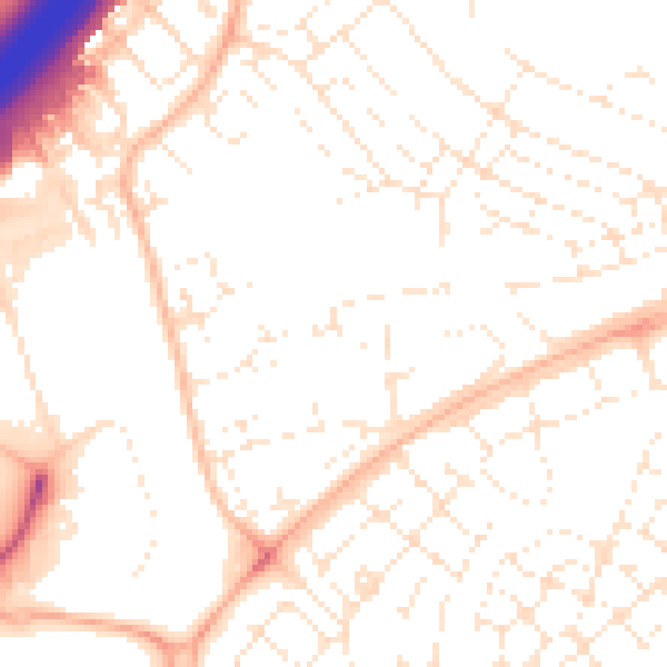
Daytime· 07:00 – 23:00
52.0dB

Night-time· 23:00 – 07:00
40.9dB