176 Rodway Road, Patchway, Bristol, BS34 5EE
About 176 Rodway Road
176 Rodway Road is a three-bedroom semi-detached house in Patchway, Bristol, Bristol (BS34 5EE). It has a recorded floor area of 71 m² (around 764 sq ft), construction records dating it to 1950-1966 and council tax band B. The latest certificate (July 2020) shows a C (score 70). When first surveyed in September 2019 the rating was F, the property has climbed 3 bands since. Between certificates, roof efficiency went from Good to Very Good, window efficiency went from Average to Good and hot-water efficiency went from Very Poor to Good. The recommended improvements would push it to B (score 88).
At 71 m² the property is well over the postcode median (46 m² across 36 EPCs), placing it in the larger end of the local stock. Across 2019–2020, sale prices on this property compounded at 21% per year. Today's modelled estimate of £301,000 is 25.9% above the 2020 sale price. On a £-per-square-foot basis, the last sale (£313/sq ft) was about 60.7% above the typical sold price in the postcode. Last sale on file: £239,000 in November 2020.
What this property has
Inside
- Bedrooms3
- Bathrooms1
Outside
- GarageYes
Building
- RefurbishedYes
Everything you need to know about 176 Rodway Road
The true value, the hidden risks and the full sale history, in one report.
Pick your report · every report is £14.99
One time fee only - money back guarantee

The data behind every report


Energy performance
EPC Rating
Property Improvements
Changes detected from historical EPC data
Switched from oil to mains gas, reducing emissions and costs
Heating controls upgraded for better temperature management
Hot water system upgraded
Window efficiency improved
Roof insulation improved
Get a survey for this property
Level 2 HomeBuyer Report
We've checked 10 risk factors against the available data for this property and believe a Level 2 HomeBuyer Report could be a suitable option for you.
From £595 · Includes VAT
Planning history
176 Rodway Road has no planning applications on record.
But the area is active
11 notable applications nearby — larger schemes and conversions that could reshape the street. The report maps them all.
Sales history & valuation
176 Rodway Road changed hands twice within eighteen months — unusual for the area.
£301,000
Modelled from EPC, postcode comparables and a sale-price growth of 21.0% per year over 1 year.
£239,000
Growth on file: 21.0% per year over 1 year.
Sales timeline
20 November 2020Most recent
£239,000
+21.0%over 11 months18 December 2019
£197,500
Median price across the last 5 sales in BS34 5EE: £200,000 (2023–2012).
Versus other Rodway Road homes
On co₂ emissions, 176 Rodway Road runs well behind the street norm.
Price per m²
£3,366
Street avg £3,272
Floor Area
71 m²
Street avg 52 m²
Habitable Rooms
5 rooms
Street avg 3 rooms
CO₂ Emissions
2.6 t/year
Street avg 1.9 t/year
Everything you need to know about 176 Rodway Road
The true value, the hidden risks and the full sale history, in one report.
Pick your report · every report is £14.99
One time fee only - money back guarantee
The data behind every report
Similar properties nearby
1 Birch Close, Patchway
BS34 5SB
1 Donns Close, Patchway
BS34 5JW
1 Eagle Drive, Patchway
BS34 5RJ
1 Clermont Close, Patchway
BS34 5QJ
1 Calves Garden, Patchway
BS34 5GZ
1 Buckleys Road, Patchway
BS34 5BJ
1 Broad Croft, Patchway
BS34 5FS
1 Eamoth Ground, Patchway
BS34 5SR
The neighbourhood at a glance
Crime
6/mo
Steady year-on-year across the wider district.
Nearest stop
0.2 km
Fir Tree Close — bus stop.
Closest school
0.1 km
Callicroft Primary School. 19 schools nearby.
Go deeper on the local area
A Local Area report breaks down crime, transport links, schools and air quality in depth.
Road noise across the postcode
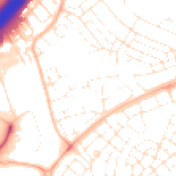
Daytime· 07:00 – 23:00
52.0dB

Night-time· 23:00 – 07:00
40.9dB