17 Breach Road, Bristol, BS3 2BD
About 17 Breach Road
17 Breach Road is a three-bedroom mid-terrace house in Bristol (BS3 2BD). It has a recorded floor area of 97 m² (around 1044 sq ft), construction records dating it to 1900-1929 and council tax band B. The latest certificate (June 2018) shows a D (score 60), on the cusp of jumping into the C band. The recommended improvements would push it to C (score 79).
Across 2018–2020, sale prices on this property compounded at 11.5% per year. Today's modelled estimate of £506,000 is 20.5% above the 2020 sale price. On a £-per-square-foot basis, the last sale (£402/sq ft) was about 150.7% above the typical sold price in the postcode. Sold November 2020 for £420,000.
What this property has
Inside
- Bedrooms3
- Bathrooms1
- Dining roomYes
- Utility roomYes
- FireplaceYes
Outside
- Private gardenSouth-facing
Building
- RefurbishedYes
Everything you need to know about 17 Breach Road
The true value, the hidden risks and the full sale history, in one report.
Pick your report · every report is £14.99
One time fee only - money back guarantee

The data behind every report


Energy performance
EPC Rating
Get a survey for this property
Level 3 Building Survey
Because the property was built before 1919, has been extended more than once, and has solid (non-cavity) walls, we believe a Level 3 building survey should be considered.
From £1,085 · Includes VAT
Planning history
17 Breach Road has no planning applications on record.
But the area is active
4 notable applications nearby — larger schemes and conversions that could reshape the street. The report maps them all.
Sales history & valuation
The latest sale landed in the post-pandemic price surge — useful context when reading the figure.
£506,000
Modelled from EPC, postcode comparables and a sale-price growth of 11.5% per year over 2 years.
£420,000
Growth on file: 11.5% per year over 2 years.
Sales timeline
30 November 2020Most recent
£420,000
+26.3%over 2 years11 October 2018
£332,500
Median price across the last 5 sales in BS3 2BD: £373,500 (2024–2017).
Versus other Breach Road homes
On price per m², 17 Breach Road stands well clear of the street.
Price per m²
£4,330
Street avg £2,652
Floor Area
97 m²
Street avg 106 m²
Habitable Rooms
5 rooms
Street avg 6 rooms
CO₂ Emissions
4.0 t/year
Street avg 5.2 t/year
Everything you need to know about 17 Breach Road
The true value, the hidden risks and the full sale history, in one report.
Pick your report · every report is £14.99
One time fee only - money back guarantee
The data behind every report
Similar properties nearby
1 Foxcote Road
BS3 2DA
1 Hardy Avenue
BS3 2BP
1 Colliter Crescent
BS3 2PA
1 Duckmoor Road
BS3 2DD
1 Gerald Road
BS3 2DN
1 Greenhill Grove
BS3 2LS
1 Friezewood Road
BS3 2AD
1 Avebury Road
BS3 2QQ
The neighbourhood at a glance
Rail-style transport is unusually close for this postcode.
Crime
4/mo
Rising year-on-year across the wider district.
Nearest stop
0.1 km
Breach Road — bus stop.
Closest school
0.1 km
Luckwell Primary School. 36 schools nearby.
Go deeper on the local area
A Local Area report breaks down crime, transport links, schools and air quality in depth.
Road noise across the postcode
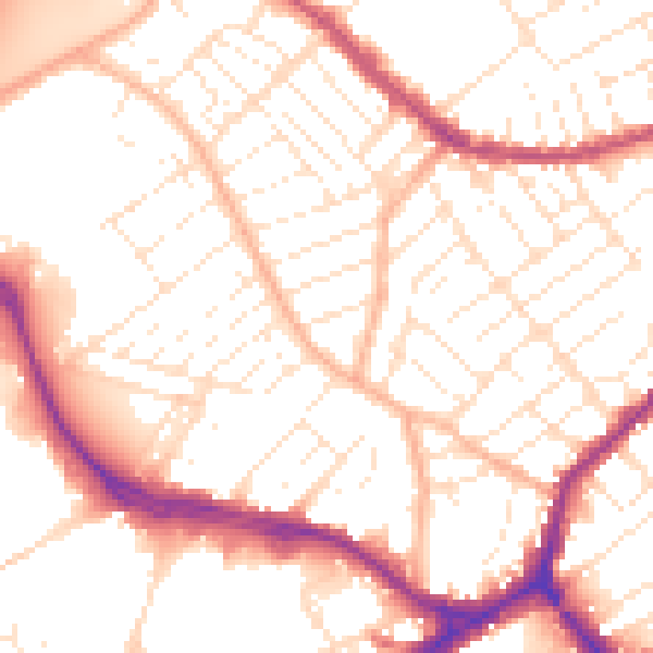
Daytime· 07:00 – 23:00
53.0dB

Night-time· 23:00 – 07:00
43.0dB