Bridges End, Cross Lanes, Pill, Bristol, BS20 0JQ
About Bridges End
Bridges End is a property in Pill, Bristol, Bristol (BS20 0JQ). It has council tax band F.
Held since May 2001 — that's 25 years off the open market, well above the local norm. Only one transfer is on record with HM Land Registry, suggesting it has stayed in the same hands for a long time. One historical planning record sits against the property in 2008.
Know exactly what you're buying at Bridges End
Before you offer, see what the listing won't tell you, the true value, the red flags and the full history.
Valuation
against the asking price
Risks
planning & flood
Sold prices
similar homes nearby
Trends
the local market
Energy performance
No EPC on record
This property doesn't have an Energy Performance Certificate yet. An EPC is required to sell or let — and unlocks our automated valuation.
Planning history
- Mar 2008New BuildFullIn report
Erection of a dwelling with detached garage and office/live work unit (Class B1)
- Documents
- 25 docs on file
- Reference
- 07/P/2642/F
What's in Bridges End, Cross Lanes, Pill, Bristol, BS20 0JQ's planning history?
Refusals, disputes and full decisions on this property and nearby, in the report.
Sales history & valuation
£280,000
Recorded with HM Land Registry.
Sales timeline
20 May 2001Most recent
£280,000
Median price across the last 5 sales in BS20 0JQ: £255,000 (2023–2014).
Nearby sales in BS20 0JQ
Everything we know about Bridges End, in one report
What it's really worth, what could be wrong, and the planning, sales and area data in full.
- Am I paying too much?
- Is something wrong with it?
- Is the agent's story true?
- Will it hold its value?

Similar properties nearby
1 Cabot Way, Pill
BS20 0HD
1 Avon View, Martcombe Road, Easton In Gordano
BS20 0QL
1 Court Hay, Easton In Gordano
BS20 0PY
1 Fitzharding Road, Pill
BS20 0EH
1 Easton Road, Pill
BS20 0DT
1 Hart Close, Pill
BS20 0BY
1 Haberfield Cottages, Happerton Lane, Easton In Gordano
BS20 0QW
1 Ham Green, Pill
BS20 0EY
The neighbourhood at a glance
Crime
5/mo
Steady year-on-year across the wider district.
Nearest stop
0.2 km
Newsome Avenue — bus stop.
Closest school
0.4 km
Crockerne Church of England Primary School. 9 schools nearby.
Go deeper on the local area
The full report breaks down crime, transport links, schools and air quality in depth.
Road noise across the postcode
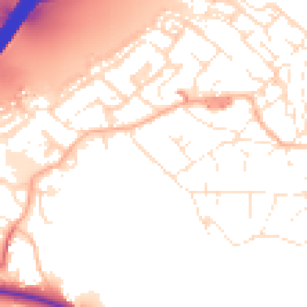
Daytime· 07:00 – 23:00
53.4dB

Night-time· 23:00 – 07:00
44.0dB