18 Rudgleigh Road, Pill, Bristol, BS20 0DS
About 18 Rudgleigh Road
18 Rudgleigh Road is a three-bedroom semi-detached house in Pill, Bristol, Bristol (BS20 0DS). It has a recorded floor area of 70 m² (around 753 sq ft), construction records dating it to 1950-1966 and council tax band B. Tenure is freehold. The latest certificate (April 2021) shows a C (score 69), just inside the C band. The recommended improvements would push it to B (score 88).
Untraded for 30 years, with the last transfer in November 1996. Only one transfer is on record with HM Land Registry, suggesting it has stayed in the same hands for a long time. Today's modelled estimate of £288,000 sits 722.9% above the 1996 sale of £35,000. On a £-per-square-foot basis, the last sale (£46/sq ft) was about 73.4% below the postcode norm. One historical planning record sits against the property in 2017.
Know exactly what you're buying at 18 Rudgleigh Road
Before you offer, see what the listing won't tell you, the true value, the red flags and the full history.
Valuation
against the asking price
Risks
planning & flood
Sold prices
similar homes nearby
Trends
the local market
What this property has
Inside
- Bedrooms3
- Bathrooms1
- Open-plan layoutYes
- Dining roomYes
Outside
- DrivewayYes
Building
- TenureFreehold
Energy performance
EPC Rating
Planning history
- Jul 2017New BuildFullIn report
New two storey dwelling
- Documents
- 15 docs on file
- Reference
- 17/P/1161/F
What's in 18 Rudgleigh Road, Pill, Bristol, BS20 0DS's planning history?
Refusals, disputes and full decisions on this property and nearby, in the report.
Sales history & valuation
Latest sale on 18 Rudgleigh Road was the lowest on Land Registry record across the postcode.
£288,000
Modelled from EPC, postcode comparables.
£35,000
Recorded with HM Land Registry.
Sales timeline
15 November 1996Most recent
£35,000
Median price across the last 5 sales in BS20 0DS: £295,000 (2023–2021).
Nearby sales in BS20 0DS
31d, Rudgleigh Road, Pill, Bristol, BS20 0DS
Sold Jan 2023
£455,0006 Rudgleigh Road, Pill, Bristol, BS20 0DS
Sold Dec 2022
£310,0001 Rudgleigh Road, Pill, Bristol, BS20 0DS
Sold Sept 2021
£270,00028 Rudgleigh Road, Pill, Bristol, BS20 0DS
Sold Aug 2021
£265,50532 Rudgleigh Road, Pill, Bristol, BS20 0DS
Sold Feb 2021
£295,000
Everything we know about 18 Rudgleigh Road, in one report
What it's really worth, what could be wrong, and the planning, sales and area data in full.
- Am I paying too much?
- Is something wrong with it?
- Is the agent's story true?
- Will it hold its value?

Versus other Rudgleigh Road homes
Years Held for 18 Rudgleigh Road runs comfortably ahead of the street norm.
Price per m²
£500
Street avg £2,449
Floor Area
70 m²
Street avg 90 m²
Habitable Rooms
5 rooms
Street avg 5 rooms
CO₂ Emissions
2.7 t/year
Street avg 3.8 t/year
Similar properties nearby
1 Back Lane, Pill
BS20 0AX
1 Hardwick Road, Pill
BS20 0DG
1 Beechwood Road, Easton In Gordano
BS20 0NA
1 Ham Green, Pill
BS20 0EY
1 Eirene Terrace, Pill
BS20 0ET
1 Haberfield Cottages, Happerton Lane, Easton In Gordano
BS20 0QW
1 Anchor Way, Pill
BS20 0JY
1 Easton Road, Pill
BS20 0DT
The neighbourhood at a glance
Crime
5/mo
Steady year-on-year across the wider district.
Nearest stop
0.2 km
Newsome Avenue — bus stop.
Closest school
0.3 km
Crockerne Church of England Primary School. 11 schools nearby.
Go deeper on the local area
The full report breaks down crime, transport links, schools and air quality in depth.
Road noise across the postcode
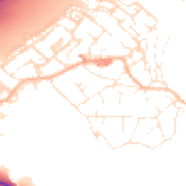
Daytime· 07:00 – 23:00
51.8dB

Night-time· 23:00 – 07:00
42.4dB