31d, Rudgleigh Road, Pill, Bristol, BS20 0DS
About 31d
31d is a property in Pill, Bristol, Bristol (BS20 0DS). It has council tax band C.
Last sale on file: £455,000 in January 2023.
Know exactly what you're buying at 31d
Before you offer, see what the listing won't tell you, the true value, the red flags and the full history.
Valuation
against the asking price
Risks
planning & flood
Sold prices
similar homes nearby
Trends
the local market
Energy performance
No EPC on record
This property doesn't have an Energy Performance Certificate yet. An EPC is required to sell or let — and unlocks our automated valuation.
Planning history
31d has no planning applications on record.
The full report still covers planning activity across the surrounding area.
Sales history & valuation
Latest sale on 31d was the highest on Land Registry record across the postcode.
£455,000
Recorded with HM Land Registry.
Sales timeline
27 January 2023Most recent
£455,000
Median price across the last 5 sales in BS20 0DS: £270,000 (2022–2020).
Nearby sales in BS20 0DS
6 Rudgleigh Road, Pill, Bristol, BS20 0DS
Sold Dec 2022
£310,0001 Rudgleigh Road, Pill, Bristol, BS20 0DS
Sold Sept 2021
£270,00028 Rudgleigh Road, Pill, Bristol, BS20 0DS
Sold Aug 2021
£265,50532 Rudgleigh Road, Pill, Bristol, BS20 0DS
Sold Feb 2021
£295,00031a, Rudgleigh Road, Pill, Bristol, BS20 0DS
Sold Aug 2020
£259,500
Everything we know about 31d, in one report
What it's really worth, what could be wrong, and the planning, sales and area data in full.
- Am I paying too much?
- Is something wrong with it?
- Is the agent's story true?
- Will it hold its value?

Similar properties nearby
1 Avon View, Martcombe Road, Easton In Gordano
BS20 0QL
1 Cabot Way, Pill
BS20 0HD
1 Easton Road, Pill
BS20 0DT
1 Court Hay, Easton In Gordano
BS20 0PY
1 Ham Green, Pill
BS20 0EY
1 Fitzharding Road, Pill
BS20 0EH
1 Beechwood Road, Easton In Gordano
BS20 0NA
1 Hart Close, Pill
BS20 0BY
The neighbourhood at a glance
Crime
5/mo
Steady year-on-year across the wider district.
Nearest stop
0.2 km
Newsome Avenue — bus stop.
Closest school
0.3 km
Crockerne Church of England Primary School. 11 schools nearby.
Go deeper on the local area
The full report breaks down crime, transport links, schools and air quality in depth.
Road noise across the postcode
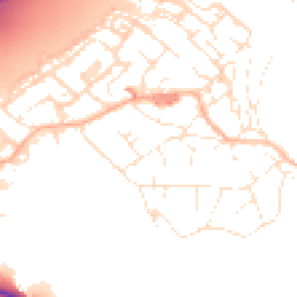
Daytime· 07:00 – 23:00
51.8dB

Night-time· 23:00 – 07:00
42.4dB