1 Croydon Road, Keston, BR2 6EA
About 1 Croydon Road
1 Croydon Road is a one-bedroom detached house in Keston (BR2 6EA). It has a recorded floor area of 778 m² (around 8374 sq ft), construction records dating it to 1991-1995 and council tax band H. The latest certificate (October 2022) shows a C (score 70). The rating has held steady at C across 2 certificates since October 2009. Between certificates, lighting went from Very Poor to Average; while window efficiency dropped from Good to Average and hot-water efficiency dropped from Very Good to Good.
It hasn't traded since February 2011, a hold of 15 years that's notably long for the area. At 778 m² the property is well over the postcode median (228 m² across 11 EPCs), placing it in the larger end of the local stock. 1 bedrooms is on the smaller side for this postcode, where 3 is the typical count. Today's modelled estimate of £3,192,000 is 14% above the 2011 sale price. On a £-per-square-foot basis, the last sale (£334/sq ft) was about 22.1% below the postcode norm. 6 planning records sit against the property, 3 approved, 1 refused.
Know exactly what you're buying at 1 Croydon Road
Before you offer, see what the listing won't tell you, the true value, the red flags and the full history.
Valuation
against the asking price
Risks
planning & flood
Sold prices
similar homes nearby
Trends
the local market
What this property has
Inside
- Bedrooms1
- Bathrooms1
- EnsuiteYes
Outside
- ParkingOff street
Energy performance
1 Croydon Road's carbon output runs well above what efficient homes in the postcode produce.
EPC Rating
Property Improvements
Changes detected from historical EPC data
Heating controls changed
Hot water efficiency decreased
More low energy lighting installed
Planning history
- May 2025Tree WorksTreesIn report
G1 Conifer hedge - Reduce lateral spread by 1m from 5m to 4m on southern compass points. T1 Sycamore - Crown reduce laterals by 2m from 6m to 4m on southern compass points. G2 x2 Oaks - Crown reduce by 3m from 10m to 7m on southern compass points. G3 Conifer hedge - Crown reduce lateral spread by 1m from 5m to 4m on southern compass points. T2 Oak - Crown reduce height by 3m from 17m to 14m. Reduce lateral spread by 3m from 14m to 11m. SUBJECT TO TPO 1809 (24.4.2001)
- Agent
- Amber Tree Care
- Documents
- 15 docs on file
- Reference
- 25/01046/TPO
- Dec 2020OutbuildingOutlineIn report
New pool house to rear garden (Proposed Lawful Development Certificate)
- Agent
- Architecture Design Limited
- Documents
- 9 docs on file
- Reference
- 20/04263/PLUD
What's in 1 Croydon Road, Keston, BR2 6EA's planning history?
4 more on this property, plus refusals, disputes and full decisions nearby, in the report.
Sales history & valuation
Latest sale on 1 Croydon Road was the highest on Land Registry record across the postcode.
£3,192,000
Modelled from EPC, postcode comparables.
£2,800,000
Recorded with HM Land Registry.
Sales timeline
18 February 2011Most recent
£2,800,000
Median price across the last 5 sales in BR2 6EA: £1,100,000 (2021–2015).
Nearby sales in BR2 6EA
Keston Waterside Apartments, 2, 9 Croydon Road, Keston, BR2 6EA
Sold Sept 2021
£1,100,000Keston Waterside Apartments, 7, 9 Croydon Road, Keston, BR2 6EA
Sold Dec 2018
£1,260,000Keston Waterside Apartments, 3, 9 Croydon Road, Keston, BR2 6EA
Sold Jun 2016
£940,000Keston Waterside Apartments, 8, 9 Croydon Road, Keston, BR2 6EA
Sold Jan 2016
£1,200,00027 Croydon Road, Keston, BR2 6EA
Sold Aug 2015
£745,000
Everything we know about 1 Croydon Road, in one report
What it's really worth, what could be wrong, and the planning, sales and area data in full.
- Am I paying too much?
- Is something wrong with it?
- Is the agent's story true?
- Will it hold its value?

Versus other Croydon Road homes
On price per m², 1 Croydon Road stands well clear of the street.
Price per m²
£3,599
Street avg £2,801
Floor Area
778 m²
Street avg 253 m²
Habitable Rooms
16 rooms
Street avg 5 rooms
CO₂ Emissions
22.0 t/year
Street avg 9.0 t/year
Similar properties nearby
1 Beech Dell
BR2 6EP
1 Forest Ridge
BR2 6EG
1 Keston End, Leaves Green Road
BR2 6DT
1 High House Cottages, Ashmore Lane
BR2 6DH
1 Blackness Cottages, Blackness Lane
BR2 6HP
1 Beechwood Drive
BR2 6HN
1 Forest Drive
BR2 6EE
1 Greys Park Close
BR2 6BD
The neighbourhood at a glance
Daytime road noise here sits well below conversation level — a quiet pocket of the postcode.
Crime
4/mo
Steady year-on-year across the wider district.
Nearest stop
0.1 km
Keston Park Close — bus stop.
Closest school
0.9 km
Ravens Wood School. 18 schools nearby.
Go deeper on the local area
The full report breaks down crime, transport links, schools and air quality in depth.
Road noise across the postcode
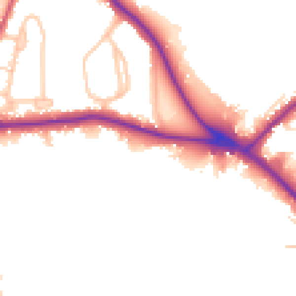
Daytime· 07:00 – 23:00
49.0dB

Night-time· 23:00 – 07:00
42.4dB