12 Winfield Close, Portslade, Brighton, BN41 2YW
About 12 Winfield Close
12 Winfield Close is a two-bedroom mid-terrace house in Portslade, Brighton, Brighton (BN41 2YW). It has a recorded floor area of 70 m² (around 753 sq ft), construction records dating it to 1967-1975 and council tax band C. The latest certificate (September 2020) shows a D (score 68), on the cusp of jumping into the C band. The rating has held steady at D across 2 certificates since January 2016. Between certificates, roof efficiency went from Poor to Good and lighting went from Average to Very Good; while wall efficiency dropped from Good to Average. The recommended improvements would lift it to B (score 88), a 2-band jump. The home occupies a cul-de-sac position.
Most recent transfer: March 2021 at £297,000. Across the public record there are 4 sales, relatively high churn for a single property. That sale was during the post-pandemic price surge, when transactions cleared materially above pre-2020 trend. Across 1997–2021, sale prices on this property compounded at 7.1% per year. Today's modelled estimate of £337,000 is 13.5% above the 2021 sale price. On a £-per-square-foot basis, the last sale (£394/sq ft) was about 56.7% above the typical sold price in the postcode.
Know exactly what you're buying at 12 Winfield Close
Before you offer, see what the listing won't tell you, the true value, the red flags and the full history.
Already flagged here
Valuation
against the asking price
Risks
planning & flood
Sold prices
similar homes nearby
Trends
the local market
What this property has
Inside
- Bedrooms2
- Bathrooms1
Outside
- Private gardenYes
- Cul-de-sacYes
Building
- Heating systemGas
- RefurbishedYes
Energy performance
Recommended upgrades on file would lift this property by multiple EPC bands.
EPC Rating
Property Improvements
Changes detected from historical EPC data
Roof insulation improved
More low energy lighting installed
Planning history
12 Winfield Close has no planning applications on record.
Notable planning nearby
2applications of note in the surrounding area
We flagged 1 thing worth checking at 12 Winfield Close
Independent checks surfaced things a buyer would want to understand before offering. The report explains each one in full, with the underlying data and what to ask.
- Larger development activity nearby
30-day money-back guarantee
Sales history & valuation
Price for 12 Winfield Close has grown more than fourfold since the 1997 starting point.
£337,000
Modelled from EPC, postcode comparables and a sale-price growth of 7.1% per year over 24 years.
£297,000
Growth on file: 7.1% per year over 24 years.
Sales timeline
19 March 2021Most recent
£297,000
+18.8%over 5 years18 March 2016
£250,000
+61.3%over 12 years24 November 2003
£155,000
+162.7%over 6 years15 September 1997
£59,000
Median price across the last 5 sales in BN41 2YW: £272,000 (2022–2021).
Nearby sales in BN41 2YW
17 Winfield Close, Portslade, Brighton, BN41 2YW
Sold Dec 2022
£250,0006 Winfield Close, Portslade, Brighton, BN41 2YW
Sold Jul 2022
£335,00016 Winfield Close, Portslade, Brighton, BN41 2YW
Sold Sept 2021
£273,18011 Winfield Close, Portslade, Brighton, BN41 2YW
Sold Mar 2021
£272,0008 Winfield Close, Portslade, Brighton, BN41 2YW
Sold Jan 2021
£272,000
Everything we know about 12 Winfield Close, in one report
What it's really worth, what could be wrong, and the planning, sales and area data in full.
What we flagged
- Larger development activity nearby

Versus other Winfield Close homes
On co₂ emissions, 12 Winfield Close stands well clear of the street.
Price per m²
£4,243
Street avg £3,474
Floor Area
70 m²
Street avg 72 m²
Habitable Rooms
4 rooms
Street avg 5 rooms
CO₂ Emissions
2.7 t/year
Street avg 3.8 t/year
Similar properties nearby
1 Compass Court, Oakdene Crescent, Portslade
BN41 2SD
1 Badger Close, Portslade
BN41 2EQ
1 Dean Gardens, Portslade
BN41 2FW
1 Coach House Mews, South Street, Portslade
BN41 2LE
1 Chalky Road, Portslade
BN41 2WF
1 Avery Close, Portslade
BN41 2WP
1 Bush Cottage Close, Portslade
BN41 2GU
1 Easthill Drive, Portslade
BN41 2FD
The neighbourhood at a glance
Crime
4/mo
Steady year-on-year across the wider district.
Nearest stop
0.1 km
New England Rise — bus stop.
Closest school
0.4 km
Portslade Aldridge Community Academy. 15 schools nearby.
Go deeper on the local area
The full report breaks down crime, transport links, schools and air quality in depth.
Road noise across the postcode
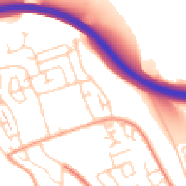
Daytime· 07:00 – 23:00
53.1dB

Night-time· 23:00 – 07:00
43.2dB