1 Badger Close, Portslade, Brighton, BN41 2EQ
About 1 Badger Close
1 Badger Close is a two-bedroom end-of-terrace house in Portslade, Brighton, Brighton (BN41 2EQ). It has a recorded floor area of 86 m² (around 926 sq ft), construction records dating it to 1991-1995 and council tax band C. The latest certificate (October 2014) shows a C (score 70). The recommended improvements would push it to B (score 83). The latest certificate is from October 2014, so improvements made since then won't be reflected. Other recorded features include a conservatory and a loft. Records show the property has been extended at some point in its history.
At 86 m² it's 24.6% larger than the typical home in the postcode (69 m² median across 9 EPCs). Across 2002–2024, sale prices on this property compounded at 8.3% per year. On a £-per-square-foot basis, the last sale (£367/sq ft) was about 41.6% above the typical sold price in the postcode. Sold July 2024 for £340,000.
Know exactly what you're buying at 1 Badger Close
Before you offer, see what the listing won't tell you, the true value, the red flags and the full history.
Already flagged here
Valuation
against the asking price
Risks
planning & flood
Sold prices
similar homes nearby
Trends
the local market
What this property has
Inside
- Bedrooms2
- Bathrooms1
- EnsuiteYes
- LoftYes
- ConservatoryYes
Outside
- DrivewayYes
Building
- Previously extendedYes
- RefurbishedYes
Energy performance
1 Badger Close's EPC is over a decade old — improvements since won't be reflected.
EPC Expired
This certificate is over 10 years old and is no longer valid.Expired 09 Oct 2024
EPC Rating
Planning history
1 Badger Close has no planning applications on record.
Notable planning nearby
2applications of note in the surrounding area
We flagged 1 thing worth checking at 1 Badger Close
Independent checks surfaced things a buyer would want to understand before offering. The report explains each one in full, with the underlying data and what to ask.
- Larger development activity nearby
30-day money-back guarantee
Sales history & valuation
1 Badger Close has more than quadrupled in price since its earliest registered sale in 2002.
£369,000
Modelled from EPC, postcode comparables and a sale-price growth of 8.3% per year over 22 years.
£340,000
Growth on file: 8.3% per year over 22 years.
Sales timeline
25 July 2024Most recent
£340,000
+488.7%over 22 years15 May 2002
£57,750
Median price across the last 5 sales in BN41 2EQ: £390,000 (2025–2021).
Nearby sales in BN41 2EQ
4 Badger Close, Portslade, Brighton, BN41 2EQ
Sold Mar 2025
£390,0006 Badger Close, Portslade, Brighton, BN41 2EQ
Sold Oct 2023
£400,00012 Badger Close, Portslade, Brighton, BN41 2EQ
Sold Jul 2023
£410,0008 Badger Close, Portslade, Brighton, BN41 2EQ
Sold Mar 2023
£390,00010 Badger Close, Portslade, Brighton, BN41 2EQ
Sold Jun 2021
£345,000
Everything we know about 1 Badger Close, in one report
What it's really worth, what could be wrong, and the planning, sales and area data in full.
What we flagged
- Larger development activity nearby

Versus other Badger Close homes
1 Badger Close outperforms the street on floor area by a wide margin.
Price per m²
£3,953
Street avg £4,897
Floor Area
86 m²
Street avg 71 m²
Habitable Rooms
5 rooms
Street avg 5 rooms
CO₂ Emissions
2.7 t/year
Street avg 2.9 t/year
Similar properties nearby
1 Dean Gardens, Portslade
BN41 2FW
1 Compass Court, Oakdene Crescent, Portslade
BN41 2SD
1 Coach House Mews, South Street, Portslade
BN41 2LE
1 Chalky Road, Portslade
BN41 2WF
1 Avery Close, Portslade
BN41 2WP
1 Bush Cottage Close, Portslade
BN41 2GU
1 Easthill Drive, Portslade
BN41 2FD
1 Benfield Close, Portslade
BN41 2DD
The neighbourhood at a glance
Crime
4/mo
Steady year-on-year across the wider district.
Nearest stop
0.1 km
Foredown Tower — bus stop.
Closest school
0.4 km
Peter Gladwin Primary School. 21 schools nearby.
Go deeper on the local area
The full report breaks down crime, transport links, schools and air quality in depth.
Road noise across the postcode
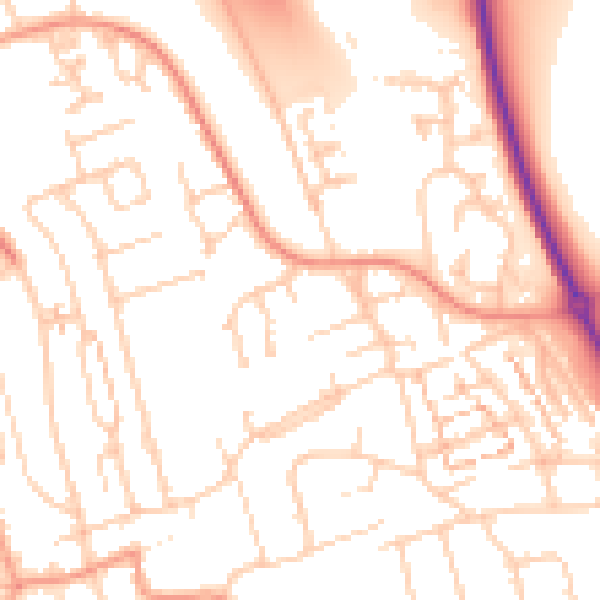
Daytime· 07:00 – 23:00
52.3dB

Night-time· 23:00 – 07:00
41.6dB