15 Eastbrook Way, Portslade, Brighton, BN41 1PS
About 15 Eastbrook Way
15 Eastbrook Way is a semi-detached house in Portslade, Brighton, Brighton (BN41 1PS). It has a recorded floor area of 93 m² (around 1001 sq ft), construction records dating it to 1930-1949 and council tax band C. The latest certificate (August 2018) shows a D (score 63), on the cusp of jumping into the C band. The recommended improvements would lift it to B (score 81), a 2-band jump.
A recent sale: £380,000 in December 2024. Across 1995–2024, sale prices on this property compounded at 6.8% per year. On a £-per-square-foot basis, the last sale (£380/sq ft) was about 54% above the typical sold price in the postcode.
Know exactly what you're buying at 15 Eastbrook Way
Before you offer, see what the listing won't tell you, the true value, the red flags and the full history.
Already flagged here
Valuation
against the asking price
Risks
planning & flood
Sold prices
similar homes nearby
Trends
the local market
Energy performance
Recommended upgrades on file would lift this property by multiple EPC bands.
EPC Rating
Planning history
15 Eastbrook Way has no planning applications on record.
Notable planning nearby
7applications of note in the surrounding area
We flagged 2 things worth checking at 15 Eastbrook Way
Independent checks surfaced things a buyer would want to understand before offering. The report explains each one in full, with the underlying data and what to ask.
- Signs of HMO activity in the area
- Larger development activity nearby
30-day money-back guarantee
Sales history & valuation
Latest sale on 15 Eastbrook Way was the highest on Land Registry record across the postcode.
£389,000
Modelled from EPC, postcode comparables and a sale-price growth of 6.8% per year over 30 years.
£380,000
Growth on file: 6.8% per year over 30 years.
Sales timeline
5 December 2024Most recent
£380,000
+245.5%over 24 years21 August 2000
£110,000
+103.7%over 5 years24 February 1995
£54,000
Median price across the last 5 sales in BN41 1PS: £288,700 (2024–2018).
Nearby sales in BN41 1PS
16a, Eastbrook Way, Portslade, Brighton, BN41 1PS
Sold Dec 2024
£190,50027 Eastbrook Way, Portslade, Brighton, BN41 1PS
Sold May 2024
£315,0008 Eastbrook Way, Portslade, Brighton, BN41 1PS
Sold Jan 2020
£288,7007 Eastbrook Way, Portslade, Brighton, BN41 1PS
Sold Aug 2019
£343,00017 Eastbrook Way, Portslade, Brighton, BN41 1PS
Sold Feb 2018
£252,000
Everything we know about 15 Eastbrook Way, in one report
What it's really worth, what could be wrong, and the planning, sales and area data in full.
What we flagged
- Signs of HMO activity in the area
- Larger development activity nearby

Versus other Eastbrook Way homes
Price per m² for 15 Eastbrook Way runs comfortably ahead of the street norm.
Price per m²
£4,086
Street avg £3,068
Floor Area
93 m²
Street avg 91 m²
Habitable Rooms
5 rooms
Street avg 5 rooms
CO₂ Emissions
4.1 t/year
Street avg 4.6 t/year
Similar properties nearby
1 Garden Close, Portslade
BN41 1XL
1 Elm Road, Portslade
BN41 1SA
1 Hurst Crescent, Portslade
BN41 1SG
1 Bampfield Street, Portslade
BN41 1SE
1 Park Crescent, Portslade
BN41 1SR
1 Brambledean Road, Portslade
BN41 1LP
1 Eastbrook Way, Portslade
BN41 1PS
1 Gardener Street, Portslade
BN41 1SX
The neighbourhood at a glance
Rail-style transport is unusually close for this postcode.
Crime
4/mo
Steady year-on-year across the wider district.
Nearest stop
0.2 km
The Gardens — bus stop.
Closest school
0.4 km
Eastbrook Primary Academy. 18 schools nearby.
Go deeper on the local area
The full report breaks down crime, transport links, schools and air quality in depth.
Road noise across the postcode
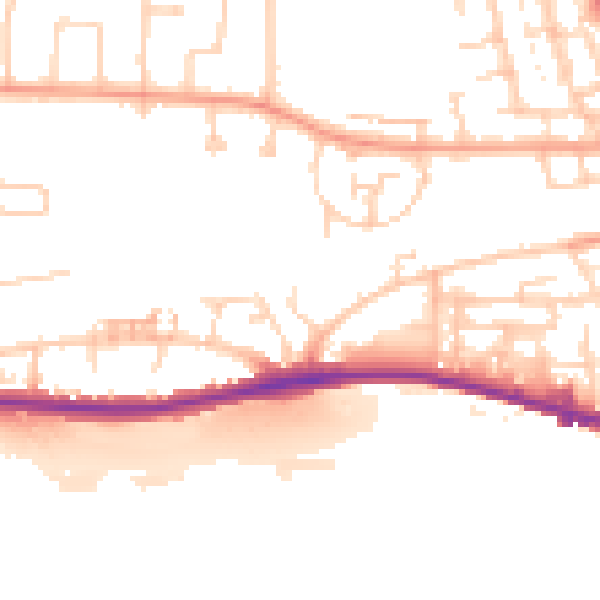
Daytime· 07:00 – 23:00
50.5dB

Night-time· 23:00 – 07:00
41.5dB