136 Montague Street, Worthing, BN11 3HG
About 136 Montague Street
136 Montague Street is a mid-terrace house in Worthing (BN11 3HG). It has a recorded floor area of 57 m² (around 614 sq ft), construction records dating it to 1900-1929 and council tax band A. The latest certificate (April 2022) shows an E (score 49), well below the UK norm with real room to improve. The recommended improvements would lift it to B (score 81), a 3-band jump. Main heating runs on electricity.
3 planning records sit against the property, 2 approved, 0 refused, 1 pending. An application is currently awaiting a decision. Most recent transfer: September 2021 at £270,000. Across the public record there are 4 sales, relatively high churn for a single property. That sale was during the post-pandemic price surge, when transactions cleared materially above pre-2020 trend. Across 1997–2021, sale prices on this property compounded at 5.1% per year. On a £-per-square-foot basis, the last sale (£440/sq ft) was about 89.1% above the typical sold price in the postcode.
Everything you need to know about 136 Montague Street
The true value, the hidden risks and the full sale history, in one report.
Pick your report · every report is £14.99
One time fee only - money back guarantee

The data behind every report


Energy performance
Recommended upgrades on file would lift this property by multiple EPC bands.
EPC Rating
Get a survey for this property
Level 3 Building Survey
Because the property was built before 1919, has no mains gas supply, and has solid (non-cavity) walls, we believe a Level 3 building survey should be considered.
From £885 · Includes VAT
Planning history
There is a planning application currently awaiting a decision.
3 applications on record at 136 Montague Street, Worthing, BN11 3HG
1 live now- Dec 2005FullOutcome in report
Change of use from a restaurant (Class A3) to takeaway (Class A5)
- Reference
- 05/0985/FULL
- More recent applications — locked
- OutlineApr 2026Decision
- FullJan 2022Decision
Unlock 136 Montague Street, Worthing, BN11 3HG's full planning history
You're seeing the shape of it. The report has the substance.
- Every decision — granted, refused or withdrawn (2 on record)
- All 3 applications on this property in full, plus 7 notable nearby
- The 22 documents, officer reports & conditions
- What the pattern means for extending or converting here
One time fee only - money back guarantee
Sales history & valuation
136 Montague Street has more than tripled in price since its earliest registered sale in 1997.
£251,000
Modelled from EPC, postcode comparables and a sale-price growth of 5.1% per year over 24 years.
£270,000
Growth on file: 5.1% per year over 24 years.
Sales timeline
9 September 2021Most recent
£270,000
+36.4%over 15 years6 January 2006
£198,000
+109.5%over 5 years10 November 2000
£94,500
+16.7%over 3 years20 April 1997
£81,000
Median price across the last 5 sales in BN11 3HG: £157,500 (2022–2007).
Nearby sales in BN11 3HG
138a, Montague Street, Worthing, BN11 3HG
Sold Jan 2022
£157,500134a, Montague Street, Worthing, BN11 3HG
Sold Mar 2018
£230,000140a, Montague Street, Worthing, BN11 3HG
Sold Oct 2013
£75,000112a, Montague Street, Worthing, BN11 3HG
Sold Sept 2007
£180,000128a, Montague Street, Worthing, BN11 3HG
Sold Aug 2007
£125,000
Versus other Montague Street homes
Price per m² for 136 Montague Street runs comfortably ahead of the street norm.
Price per m²
£4,737
Street avg £2,551
Floor Area
57 m²
Street avg 61 m²
Habitable Rooms
3 rooms
Street avg 3 rooms
CO₂ Emissions
3.1 t/year
Street avg 3.9 t/year
Everything you need to know about 136 Montague Street
The true value, the hidden risks and the full sale history, in one report.
Pick your report · every report is £14.99
One time fee only - money back guarantee
The data behind every report
Similar properties nearby
1 Caledonian Place, West Buildings
BN11 3DB
1 Blacksmiths Mews
BN11 3GA
1 Cranleigh Court, Byron Road
BN11 3HR
1 Bath Road
BN11 3NU
1 Amo Mews
BN11 3HW
1 Quinta Carmen, Seaview Road
BN11 3QX
1 Sheldon Court, Manor Road
BN11 3RS
1 Clarendon Mews, Montague Street
BN11 3GB
The neighbourhood at a glance
Rail-style transport is unusually close for this postcode.
Crime
5/mo
Steady year-on-year across the wider district.
Nearest stop
0.1 km
Augusta Place — bus stop.
Closest school
0.6 km
St Mary's Catholic Primary School. 17 schools nearby.
Go deeper on the local area
A Local Area report breaks down crime, transport links, schools and air quality in depth.
Road noise across the postcode
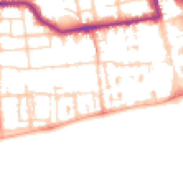
Daytime· 07:00 – 23:00
51.6dB

Night-time· 23:00 – 07:00
40.1dB