64a, Dyke Road Avenue, Brighton, BN1 5LE
About 64a
64a is a five-bedroom detached house in Brighton (BN1 5LE). It has a recorded floor area of 268 m² (around 2885 sq ft), construction records dating it to 1991-1995 and council tax band H. The latest certificate (April 2025) shows a C (score 72). When first surveyed in April 2017 the rating was D, the property has climbed 1 band since. Between certificates, window efficiency went from Average to Good.
7 planning records sit against the property, 7 approved, 0 refused. Past consents include an extension, a conservatory and tree works, meaningful when judging how the property has evolved. Across 1998–2018, sale prices on this property compounded at 5.9% per year. Today's modelled estimate of £1,794,000 is 26.8% above the 2018 sale price. On a £-per-square-foot basis, the last sale (£491/sq ft) was about 117% above the typical sold price in the postcode. On the market in May 2018 and unlisted since — roughly 8 years.
What this property has
Inside
- Bedrooms5
- Bathrooms3
- Dining roomYes
- StudyYes
Outside
- Private gardenYes
- DrivewayYes
Building
- RefurbishedYes
Everything you need to know about 64a
The true value, the hidden risks and the full sale history, in one report.
Pick your report · from £14.99
One time fee only - money back guarantee
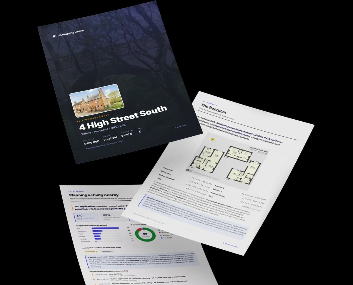
The data behind every report


Energy performance
64a's carbon output runs well above what efficient homes in the postcode produce.
EPC Rating
Certificate validity
Valid until 30 April 2035
Property Improvements
Changes detected from historical EPC data
Window efficiency improved

Get a survey for this property
Level 3 Building Survey
Because the property has been extended more than once, we believe a Level 3 building survey should be considered.
From £1,795 · Includes VAT
Planning history
64a has 2 separate extension applications on the council record.
7 applications on record at 64a, Dyke Road Avenue, Brighton, BN1 5LE
- Jul 2005Tree WorksTreesOutcome in report
1 x Beech - Sympathetically trim minimal branches back to boundary.
- Reference
- BH2005/01805/TPO/L
- More recent applications — locked
- ExtensionSept 2021Decision
- ConservatorySept 2020Decision
+ 4 more applications in the report
Unlock 64a, Dyke Road Avenue, Brighton, BN1 5LE's full planning history
You're seeing the shape of it. The report has the substance.
- Every decision — granted, refused or withdrawn (7 on record)
- All 7 applications on this property in full, plus 8 notable nearby
- The 29 documents, officer reports & conditions
- What the pattern means for extending or converting here
One time fee only - money back guarantee
Sales history & valuation
64a has more than tripled in price since its earliest registered sale in 1998.
£1,794,000
Modelled from EPC, postcode comparables and a sale-price growth of 5.9% per year over 20 years.
£1,415,000
Growth on file: 5.9% per year over 20 years.
Sales timeline
24 May 2018Most recent
£1,415,000
+214.4%over 19 years20 July 1998
£450,000
Median price across the last 5 sales in BN1 5LE: £2,400,000 (2025–2021).
Nearby sales in BN1 5LE
42 Dyke Road Avenue, Brighton, BN1 5LE
Sold Mar 2025
£3,550,000Flat 3, 36 Dyke Road Avenue, Brighton, BN1 5LE
Sold Jul 2024
£395,00066 Dyke Road Avenue, Brighton, BN1 5LE
Sold Sept 2022
£2,400,000Flat 5, 36 Dyke Road Avenue, Brighton, BN1 5LE
Sold Aug 2021
£285,00072 Dyke Road Avenue, Brighton, BN1 5LE
Sold Jan 2021
£2,650,000
Versus other Dyke Road Avenue homes
64a is notably below the street on floor area.
Price per m²
£5,280
Street avg £4,523
Floor Area
268 m²
Street avg 360 m²
Habitable Rooms
8 rooms
Street avg 9 rooms
CO₂ Emissions
8.0 t/year
Street avg 11.8 t/year
Everything you need to know about 64a
The true value, the hidden risks and the full sale history, in one report.
Pick your report · from £14.99
One time fee only - money back guarantee
The data behind every report
Similar properties nearby
1 Dyke Road Place
BN1 5LD
1 Coventry Street
BN1 5PP
1 Chatsworth Road
BN1 5DB
1 Colebrook Cottages, Colebrook Road
BN1 5JH
1 Exeter Street
BN1 5PG
1 Colebrook Road
BN1 5JH
1 Compton Road
BN1 5AL
1 Croft Road
BN1 5JJ
The neighbourhood at a glance
Daytime road noise here sits well below conversation level — a quiet pocket of the postcode.
Crime
1110/mo
Falling year-on-year across the wider district.
Nearest stop
0.1 km
Hill Brow South — bus stop.
Closest school
0.8 km
Westdene Primary School. 29 schools nearby.
Go deeper on the local area
A Local Area report breaks down crime, transport links, schools and air quality in depth.
Road noise across the postcode
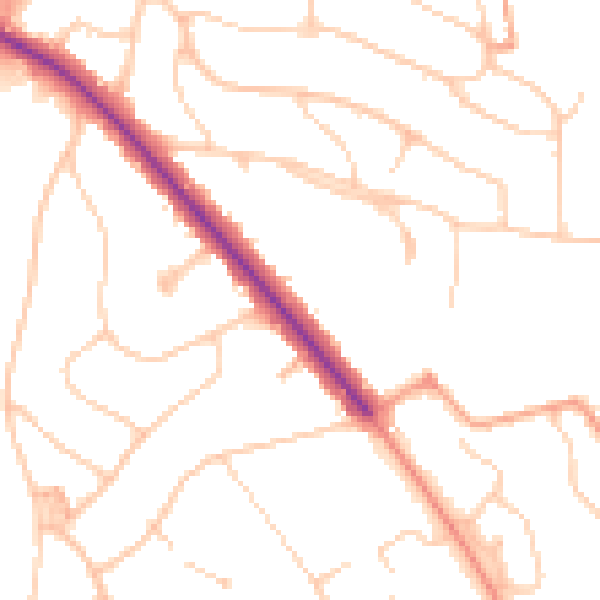
Daytime· 07:00 – 23:00
49.0dB

Night-time· 23:00 – 07:00
39.4dB