32 Leyton Drive, Bury, BL9 9SL
About 32 Leyton Drive
32 Leyton Drive is a three-bedroom detached house in Bury (BL9 9SL). It has a recorded floor area of 112 m² (around 1206 sq ft), construction records dating it to 1967-1975 and council tax band D. The latest certificate (May 2024) shows a D (score 66), on the cusp of jumping into the C band. The recommended improvements would push it to C (score 78).
On a £-per-square-foot basis, the last sale (£265/sq ft) was about 71.7% above the typical sold price in the postcode. Most recent transfer: September 2024 at £320,000.
Know exactly what you're buying at 32 Leyton Drive
Before you offer, see what the listing won't tell you, the true value, the red flags and the full history.
Already flagged here
Valuation
against the asking price
Risks
planning & flood
Sold prices
similar homes nearby
Trends
the local market
What this property has
Inside
- Bedrooms3
- Bathrooms1
Outside
- GarageDetached
Building
- RefurbishedYes
Energy performance
EPC Rating
Planning history
32 Leyton Drive has no planning applications on record.
Notable planning nearby
6applications of note in the surrounding area
We flagged 1 thing worth checking at 32 Leyton Drive
Independent checks surfaced things a buyer would want to understand before offering. The report explains each one in full, with the underlying data and what to ask.
- Signs of HMO activity in the area
30-day money-back guarantee
Sales history & valuation
32 Leyton Drive valuation sits well clear of the typical sold price in this postcode.
£351,000
Modelled from EPC, postcode comparables.
£320,000
Recorded with HM Land Registry.
Sales timeline
26 September 2024Most recent
£320,000
Median price across the last 5 sales in BL9 9SL: £242,000 (2025–2021).
Everything we know about 32 Leyton Drive, in one report
What it's really worth, what could be wrong, and the planning, sales and area data in full.
What we flagged
- Signs of HMO activity in the area

Versus other Leyton Drive homes
32 Leyton Drive outperforms the street on price per m² by a wide margin.
Price per m²
£2,857
Street avg £1,786
Floor Area
112 m²
Street avg 109 m²
Habitable Rooms
6 rooms
Street avg 5 rooms
CO₂ Emissions
4.8 t/year
Street avg 4.9 t/year
Similar properties nearby
The neighbourhood at a glance
Daytime road noise here sits well below conversation level — a quiet pocket of the postcode.
Nearest stop
0.2 km
Nuttall Square — bus stop.
Closest school
0.7 km
Hollins Grundy Primary School. 30 schools nearby.
Go deeper on the local area
The full report breaks down crime, transport links, schools and air quality in depth.
Road noise across the postcode
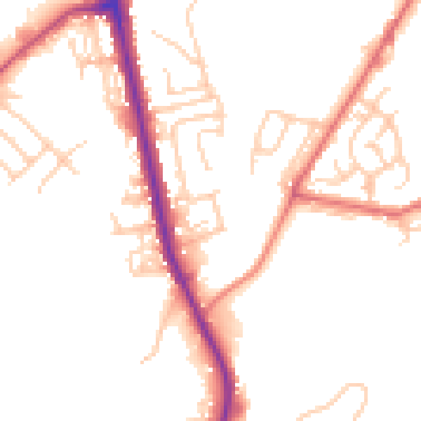
Daytime· 07:00 – 23:00
49.5dB

Night-time· 23:00 – 07:00
41.5dB