62, Heap Bridge, Bury, BL9 7HR
About 62
62 is an end-of-terrace house in Heap Bridge, Bury, Bury (BL9 7HR). It has a recorded floor area of 137 m² (around 1475 sq ft), construction records dating it to 1900-1929 and council tax band A. The latest certificate (May 2015) shows a D (score 61), on the cusp of jumping into the C band. When first surveyed in November 2014 the rating was E, the property has climbed 1 band since. Between certificates, roof efficiency went from Average to Good; while hot-water efficiency dropped from Very Good to Good and lighting dropped from Average to Poor. The recommended improvements would lift it to B (score 86), a 2-band jump. The latest certificate is from May 2015, so improvements made since then won't be reflected.
At 137 m² the property is well over the postcode median (99 m² across 6 EPCs), placing it in the larger end of the local stock. Across 2003–2019, sale prices on this property compounded at 4.4% per year. Today's modelled estimate of £197,000 is 23.1% above the 2019 sale price. On a £-per-square-foot basis, the last sale (£109/sq ft) was about 41.2% above the typical sold price in the postcode. Sold December 2019 for £160,000.
Know exactly what you're buying at 62
Before you offer, see what the listing won't tell you, the true value, the red flags and the full history.
Already flagged here
Valuation
against the asking price
Risks
planning & flood
Sold prices
similar homes nearby
Trends
the local market
Energy performance
62's carbon output runs well above what efficient homes in the postcode produce.
EPC Expired
This certificate is over 10 years old and is no longer valid.Expired 20 May 2025
EPC Rating
Property Improvements
Changes detected from historical EPC data
Heating controls upgraded for better temperature management
Hot water system changed
Roof insulation improved
Low energy lighting percentage decreased
Planning history
62 has no planning applications on record.
Notable planning nearby
6applications of note in the surrounding area
We flagged 2 things worth checking at 62
Independent checks surfaced things a buyer would want to understand before offering. The report explains each one in full, with the underlying data and what to ask.
- Signs of HMO activity in the area
- Larger development activity nearby
30-day money-back guarantee
Sales history & valuation
Latest sale on 62 was the highest on Land Registry record across the postcode.
£197,000
Modelled from EPC, postcode comparables and a sale-price growth of 4.4% per year over 16 years.
£160,000
Growth on file: 4.4% per year over 16 years.
Sales timeline
9 December 2019Most recent
£160,000
+36.8%over 3 years26 May 2016
£117,000
+45.3%over 12 years28 November 2003
£80,500
Median price across the last 5 sales in BL9 7HR: £115,000 (2020–2015).
Everything we know about 62, in one report
What it's really worth, what could be wrong, and the planning, sales and area data in full.
What we flagged
- Signs of HMO activity in the area
- Larger development activity nearby

Versus the street
On floor area, 62 stands well clear of the street.
Price per m²
£1,168
Street avg £923
Floor Area
137 m²
Street avg 108 m²
Habitable Rooms
6 rooms
Street avg 6 rooms
CO₂ Emissions
6.6 t/year
Street avg 4.7 t/year
Similar properties nearby
1 Birtle Brook Village West, Elbut Lane
BL9 7UJ
1 Birchfield Avenue
BL9 7JF
1 Clarkes Croft
BL9 7NR
1 Broad Oak Farm, Broad Oak Lane
BL9 7SS
1 Audlum Court
BL9 7PN
1 Back York Street East
BL9 7LF
1 Castle Hill Road
BL9 7RN
1 Broadoaks
BL9 7SU
The neighbourhood at a glance
Nearest stop
0.1 km
Heap Bridge — bus stop.
Closest school
0.4 km
Hazel Wood High School. 24 schools nearby.
Go deeper on the local area
The full report breaks down crime, transport links, schools and air quality in depth.
Road noise across the postcode
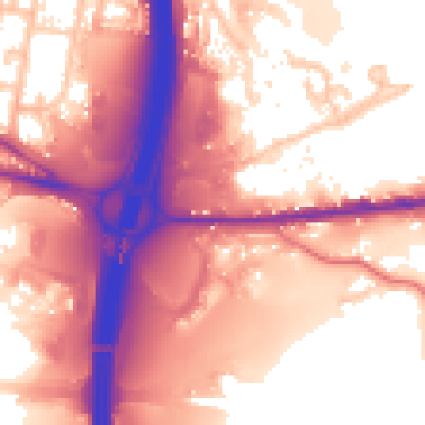
Daytime· 07:00 – 23:00
60.2dB

Night-time· 23:00 – 07:00
53.7dB