21 Melville Road, Bournemouth, BH9 2PL
About 21 Melville Road
21 Melville Road is a three-bedroom detached house in Bournemouth (BH9 2PL). It has a recorded floor area of 119 m² (around 1281 sq ft), construction records dating it to 1950-1966 and council tax band C. There is a swimming pool on the plot, uncommon for the area. The latest certificate (February 2020) shows a D (score 57), a step below the typical UK home. The recommended improvements would lift it to B (score 81), a 2-band jump.
Most recent transfer was July 2025 at £405,000 — fresh data. At 119 m² it's 19% larger than the typical home in the postcode (100 m² median across 20 EPCs). Across 2002–2025, sale prices on this property compounded at 11.3% per year. On a £-per-square-foot basis, the last sale (£316/sq ft) was about 54.4% above the typical sold price in the postcode.
What this property has
Inside
- Bedrooms3
- Bathrooms2
- Open-plan layoutYes
- Dining roomYes
- Utility roomYes
- CloakroomYes
Outside
- Private gardenYes
- ParkingOff road
- Swimming poolYes
Everything you need to know about 21 Melville Road
The true value, the hidden risks and the full sale history, in one report.
Pick your report · every report is £14.99
One time fee only - money back guarantee

The data behind every report


Energy performance
Recommended upgrades on file would lift this property by multiple EPC bands.
EPC Rating
Get a survey for this property
Level 3 Building Survey
Because the property has been extended more than once, we believe a Level 3 building survey should be considered.
From £1,020 · Includes VAT
Planning history
21 Melville Road has no planning applications on record.
But the area is active
71 notable applications nearby — larger schemes and conversions that could reshape the street. The report maps them all.
Sales history & valuation
Price for 21 Melville Road has grown more than fourfold since the 2002 starting point.
£404,000
Modelled from EPC, postcode comparables and a sale-price growth of 11.3% per year over 23 years.
£405,000
Growth on file: 11.3% per year over 23 years.
Sales timeline
9 July 2025Most recent
£405,000
+36.1%over 4 years28 October 2020
£297,500
+797.7%over 18 years25 February 2002
£33,140
Median price across the last 5 sales in BH9 2PL: £380,000 (2022–2020).
Nearby sales in BH9 2PL
Versus other Melville Road homes
Years Held for 21 Melville Road lags the street by a wide margin.
Price per m²
£3,403
Street avg £2,589
Floor Area
119 m²
Street avg 115 m²
Habitable Rooms
7 rooms
Street avg 6 rooms
CO₂ Emissions
5.9 t/year
Street avg 5.5 t/year
Everything you need to know about 21 Melville Road
The true value, the hidden risks and the full sale history, in one report.
Pick your report · every report is £14.99
One time fee only - money back guarantee
The data behind every report
Similar properties nearby
1 Marks Road
BH9 2XQ
1 Kemp Road
BH9 2PW
1 Lawford Rise, Wimborne Road
BH9 2BZ
1 Comber Road
BH9 2XG
1 Carey Road
BH9 2XB
1 Highfield Road
BH9 2SE
1 Bentley Road
BH9 2UE
1 Church View, Victoria Park Road
BH9 2RE
The neighbourhood at a glance
Crime
4/mo
Steady year-on-year across the wider district.
Nearest stop
0.2 km
Stanfield Road — bus stop.
Closest school
0.5 km
St Luke's Church of England Primary School. 26 schools nearby.
Go deeper on the local area
A Local Area report breaks down crime, transport links, schools and air quality in depth.
Road noise across the postcode
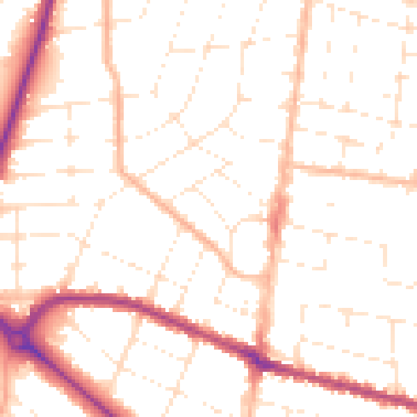
Daytime· 07:00 – 23:00
50.8dB

Night-time· 23:00 – 07:00
40.5dB