11 Melville Road, Bournemouth, BH9 2PL
About 11 Melville Road
11 Melville Road is a detached house in Bournemouth (BH9 2PL). It has a recorded floor area of 110 m² (around 1184 sq ft), construction records dating it to 1900-1929 and council tax band C. The latest certificate (May 2022) shows a D (score 57), a step below the typical UK home. The rating has held steady at D across 2 certificates since July 2012. Between certificates, window efficiency went from Very Poor to Average and lighting went from Average to Very Good; while wall efficiency dropped from Good to Average and roof efficiency dropped from Average to Very Poor. The recommended improvements would push it to C (score 74).
Held since July 2006 — that's 20 years off the open market, well above the local norm. Today's modelled estimate of £386,000 sits 81.2% above the 2006 sale of £213,000.
Everything you need to know about 11 Melville Road
The true value, the hidden risks and the full sale history, in one report.
Pick your report · every report is £14.99
One time fee only - money back guarantee

The data behind every report


Energy performance
EPC Rating
Property Improvements
Changes detected from historical EPC data
Single glazing replaced with double or better glazing
More low energy lighting installed
Get a survey for this property
Level 3 Building Survey
Because the property was built before 1919, we believe a Level 3 building survey should be considered.
From £955 · Includes VAT
Planning history
11 Melville Road has no planning applications on record.
But the area is active
71 notable applications nearby — larger schemes and conversions that could reshape the street. The report maps them all.
Sales history & valuation
11 Melville Road valuation sits well clear of the typical sold price in this postcode.
£386,000
Modelled from EPC, postcode comparables.
£213,000
Recorded with HM Land Registry.
Sales timeline
26 July 2006Most recent
£213,000
Median price across the last 5 sales in BH9 2PL: £405,000 (2025–2021).
Nearby sales in BH9 2PL
Versus other Melville Road homes
On habitable rooms, 11 Melville Road runs well behind the street norm.
Price per m²
£1,936
Street avg £2,694
Floor Area
110 m²
Street avg 116 m²
Habitable Rooms
4 rooms
Street avg 6 rooms
CO₂ Emissions
5.5 t/year
Street avg 5.5 t/year
Everything you need to know about 11 Melville Road
The true value, the hidden risks and the full sale history, in one report.
Pick your report · every report is £14.99
One time fee only - money back guarantee
The data behind every report
Similar properties nearby
The neighbourhood at a glance
Crime
4/mo
Steady year-on-year across the wider district.
Nearest stop
0.2 km
Stanfield Road — bus stop.
Closest school
0.5 km
St Luke's Church of England Primary School. 26 schools nearby.
Go deeper on the local area
A Local Area report breaks down crime, transport links, schools and air quality in depth.
Road noise across the postcode
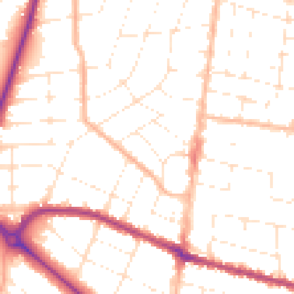
Daytime· 07:00 – 23:00
50.8dB

Night-time· 23:00 – 07:00
40.5dB