13a, Fernside Road, Bournemouth, BH9 2LA
About 13a
13a is a two-bedroom detached house in Bournemouth (BH9 2LA). It has a recorded floor area of 71 m² (around 764 sq ft), construction records dating it to 1967-1975 and council tax band C. The latest certificate (February 2021) shows a C (score 74). When first surveyed in July 2010 the rating was D, the property has climbed 1 band since. Between certificates, lighting went from Average to Very Good.
Untraded for 29 years, with the last transfer in April 1997. Only one transfer is on record with HM Land Registry, suggesting it has stayed in the same hands for a long time. Today's modelled estimate of £213,000 sits 343.8% above the 1997 sale of £48,000. On a £-per-square-foot basis, the last sale (£63/sq ft) was about 72.7% below the postcode norm. At 71 m² it sits well below the postcode median (147 m² across 12 EPCs), making it one of the more compact homes locally.
What this property has
Inside
- Bedrooms2
Outside
- Private gardenYes
- GarageYes
Building
- Heating systemGas
Everything you need to know about 13a
The true value, the hidden risks and the full sale history, in one report.
Pick your report · every report is £14.99
One time fee only - money back guarantee

The data behind every report


Energy performance
EPC Rating
Property Improvements
Changes detected from historical EPC data
Heating controls upgraded for better temperature management
Wall insulation upgraded
More low energy lighting installed
Get a survey for this property
Level 2 HomeBuyer Report
We've checked 10 risk factors against the available data for this property and believe a Level 2 HomeBuyer Report could be a suitable option for you.
From £545 · Includes VAT
Planning history
13a has no planning applications on record.
But the area is active
71 notable applications nearby — larger schemes and conversions that could reshape the street. The report maps them all.
Sales history & valuation
13a's modelled value sits at over four times its earliest registered sale price (1997).
£213,000
Modelled from EPC, postcode comparables.
£48,000
Recorded with HM Land Registry.
Sales timeline
17 April 1997Most recent
£48,000
Median price across the last 5 sales in BH9 2LA: £550,000 (2024–2019).
Nearby sales in BH9 2LA
Everything you need to know about 13a
The true value, the hidden risks and the full sale history, in one report.
Pick your report · every report is £14.99
One time fee only - money back guarantee
The data behind every report
Similar properties nearby
The neighbourhood at a glance
Crime
4/mo
Steady year-on-year across the wider district.
Nearest stop
0.2 km
Namu Road — bus stop.
Closest school
0.4 km
Glenmoor Academy. 27 schools nearby.
Go deeper on the local area
A Local Area report breaks down crime, transport links, schools and air quality in depth.
Road noise across the postcode
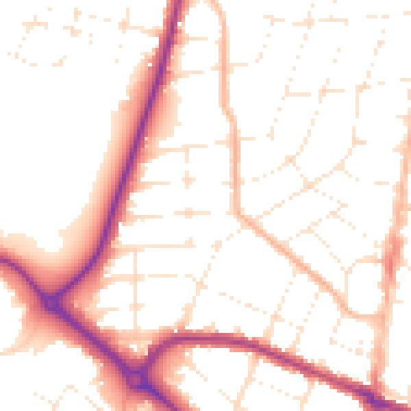
Daytime· 07:00 – 23:00
51.9dB

Night-time· 23:00 – 07:00
42.0dB