16 Fernside Road, Bournemouth, BH9 2LA
About 16 Fernside Road
16 Fernside Road is a four-bedroom detached house in Bournemouth (BH9 2LA). It has a recorded floor area of 166 m² (around 1787 sq ft), construction records dating it to 1930-1949 and council tax band E. The latest certificate (November 2018) shows a C (score 69), just inside the C band. Period features are noted in the property record. Records show the property has been extended at some point in its history.
Across 2003–2019, sale prices on this property compounded at 4% per year. Today's modelled estimate of £618,000 is 16.6% above the 2019 sale price. On a £-per-square-foot basis, the last sale (£297/sq ft) was about 29.7% above the typical sold price in the postcode. Most recent transfer: August 2019 at £530,000.
What this property has
Inside
- Bedrooms4
- Bathrooms1
- Dining roomYes
- Utility roomYes
- CloakroomYes
- StudyYes
Outside
- Private gardenSouth-facing
- GarageYes
Building
- Period featuresYes
- Previously extendedYes
- RefurbishedYes
Everything you need to know about 16 Fernside Road
The true value, the hidden risks and the full sale history, in one report.
Pick your report · every report is £14.99
One time fee only - money back guarantee

The data behind every report


Energy performance
EPC Rating
Get a survey for this property
Level 2 HomeBuyer Report
We've checked 10 risk factors against the available data for this property and believe a Level 2 HomeBuyer Report could be a suitable option for you.
From £895 · Includes VAT
Planning history
16 Fernside Road has no planning applications on record.
But the area is active
71 notable applications nearby — larger schemes and conversions that could reshape the street. The report maps them all.
Sales history & valuation
16 Fernside Road valuation sits well clear of the typical sold price in this postcode.
£618,000
Modelled from EPC, postcode comparables and a sale-price growth of 4.0% per year over 16 years.
£530,000
Growth on file: 4.0% per year over 16 years.
Sales timeline
1 August 2019Most recent
£530,000
+87.3%over 16 years24 July 2003
£283,000
Median price across the last 5 sales in BH9 2LA: £550,000 (2024–2018).
Nearby sales in BH9 2LA
Versus other Fernside Road homes
Floor Area for 16 Fernside Road runs comfortably ahead of the street norm.
Price per m²
£3,193
Street avg £2,966
Floor Area
166 m²
Street avg 153 m²
Habitable Rooms
6 rooms
Street avg 7 rooms
CO₂ Emissions
5.4 t/year
Street avg 5.6 t/year
Everything you need to know about 16 Fernside Road
The true value, the hidden risks and the full sale history, in one report.
Pick your report · every report is £14.99
One time fee only - money back guarantee
The data behind every report
Similar properties nearby
1 Fernside Road
BH9 2LA
1 Melgate Close
BH9 2EE
1 Grenfell Road
BH9 2UD
1 Carey Road
BH9 2XB
1 Highfield Road
BH9 2SE
1 Marks Road
BH9 2XQ
1 Kemp Road
BH9 2PW
1 Lawford Rise, Wimborne Road
BH9 2BZ
The neighbourhood at a glance
Crime
4/mo
Steady year-on-year across the wider district.
Nearest stop
0.2 km
Namu Road — bus stop.
Closest school
0.4 km
Glenmoor Academy. 27 schools nearby.
Go deeper on the local area
A Local Area report breaks down crime, transport links, schools and air quality in depth.
Road noise across the postcode
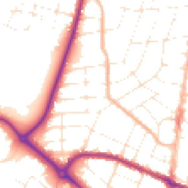
Daytime· 07:00 – 23:00
51.9dB

Night-time· 23:00 – 07:00
42.0dB