Upper Flat, 12 Maxwell Road, Bournemouth, BH9 1DJ
About Upper Flat
Upper Flat is a detached house in Bournemouth (BH9 1DJ). It has a recorded floor area of 77 m² (around 829 sq ft) and construction records dating it to 1930-1949. The latest certificate (February 2017) shows a D (score 66), on the cusp of jumping into the C band. The rating has held steady at D across 2 certificates since March 2014. Between certificates, roof efficiency went from Average to Good and lighting went from Poor to Average. The recommended improvements would push it to C (score 76).
Most recent transfer: December 2020 at £224,000. Across the public record there are 5 sales, relatively high churn for a single property. Across 2000–2020, sale prices on this property compounded at 5.3% per year. On a £-per-square-foot basis, the last sale (£270/sq ft) was about 31.9% above the typical sold price in the postcode.
Everything you need to know about Upper Flat
The true value, the hidden risks and the full sale history, in one report.
Pick your report · every report is £14.99
One time fee only - money back guarantee

The data behind every report


Energy performance
EPC Rating
Property Improvements
Changes detected from historical EPC data
Heating controls changed
Loft insulation upgraded to recommended levels
More low energy lighting installed
Get a survey for this property
Level 2 HomeBuyer Report
We've checked 10 risk factors against the available data for this property and believe a Level 2 HomeBuyer Report could be a suitable option for you.
From £545 · Includes VAT
Planning history
Upper Flat has no planning applications on record.
But the area is active
78 notable applications nearby — larger schemes and conversions that could reshape the street. The report maps them all.
Sales history & valuation
Sale price has at least doubled since 2000.
£221,000
Modelled from EPC, postcode comparables and a sale-price growth of 5.3% per year over 20 years.
£224,000
Growth on file: 5.3% per year over 20 years.
Sales timeline
14 December 2020Most recent
£224,000
+21.1%over 2 years3 May 2018
£185,000
+10.4%over 10 years20 December 2007
£167,500
+9.5%over 3 years5 August 2004
£153,000
+96.2%over 3 years16 August 2000
£78,000
Median price across the last 5 sales in BH9 1DJ: £255,000 (2023–2021).
Nearby sales in BH9 1DJ
Versus other Maxwell Road homes
Upper Flat outperforms the street on floor area by a wide margin.
Price per m²
£2,909
Street avg £2,977
Floor Area
77 m²
Street avg 69 m²
Habitable Rooms
3 rooms
Street avg 3 rooms
CO₂ Emissions
3.1 t/year
Street avg 3.7 t/year
Everything you need to know about Upper Flat
The true value, the hidden risks and the full sale history, in one report.
Pick your report · every report is £14.99
One time fee only - money back guarantee
The data behind every report
Similar properties nearby
84b, First Floor Flat, Alma Road
BH9 1AN
84b, Ground Floor Flat, Alma Road
BH9 1AN
1b, Flat 2, Cardigan Road
BH9 1BJ
2 4, Flat 2, Maxwell Road
BH9 1DQ
2 4, Flat 1, Maxwell Road
BH9 1DQ
84c, First Floor Flat, Alma Road
BH9 1AN
9a, First Floor Flat, Murley Road
BH9 1NS
84a, First Floor Flat, Alma Road
BH9 1AN
The neighbourhood at a glance
Daytime road noise here sits well below conversation level — a quiet pocket of the postcode.
Crime
4/mo
Steady year-on-year across the wider district.
Nearest stop
0.1 km
Winton Recreation Ground — bus stop.
Closest school
0.4 km
St Luke's Church of England Primary School. 27 schools nearby.
Go deeper on the local area
A Local Area report breaks down crime, transport links, schools and air quality in depth.
Road noise across the postcode
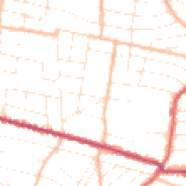
Daytime· 07:00 – 23:00
48.9dB
Night-time· 23:00 – 07:00
38.8dB