84b, Ground Floor Flat, Alma Road, Bournemouth, BH9 1AN
About 84b
84b is a semi-detached house in Bournemouth (BH9 1AN). It has a recorded floor area of 46 m² (around 495 sq ft), construction records dating it to 1900-1929 and council tax band A. The latest certificate (December 2013) shows a D (score 68), on the cusp of jumping into the C band. The rating has held steady at D across 2 certificates since January 2013. Between certificates, window efficiency went from Average to Good and lighting went from Poor to Average. The recommended improvements would push it to C (score 77). The latest certificate is from December 2013, so improvements made since then won't be reflected.
Across 2006–2022, sale prices on this property compounded at 3.3% per year. Today's modelled estimate of £215,000 is 10.4% below the 2022 sale of £240,000, below the original sale price, which typically signals condition or completion-status changes worth verifying. On a £-per-square-foot basis, the last sale (£485/sq ft) was about 185.8% above the typical sold price in the postcode. At 46 m² it sits well below the postcode median (68 m² across 43 EPCs), making it one of the more compact homes locally. Last sale on file: £240,000 in June 2022. Across the public record there are 5 sales, relatively high churn for a single property. That sale was during the post-pandemic price surge, when transactions cleared materially above pre-2020 trend.
Everything you need to know about 84b
The true value, the hidden risks and the full sale history, in one report.
Pick your report · every report is £14.99
One time fee only - money back guarantee

The data behind every report


Energy performance
84b's EPC is over a decade old — improvements since won't be reflected.
EPC Expired
This certificate is over 10 years old and is no longer valid.Expired 19 Dec 2023
EPC Rating
Property Improvements
Changes detected from historical EPC data
Window efficiency improved
Get a survey for this property
Level 3 Building Survey
Because the property was built before 1919, we believe a Level 3 building survey should be considered.
From £885 · Includes VAT
Planning history
84b has no planning applications on record.
But the area is active
78 notable applications nearby — larger schemes and conversions that could reshape the street. The report maps them all.
Sales history & valuation
84b has changed hands more often than typical for the area.
£215,000
Modelled from EPC, postcode comparables and a sale-price growth of 3.3% per year over 16 years.
£240,000
Growth on file: 3.3% per year over 16 years.
Sales timeline
30 June 2022Most recent
£240,000
+23.1%over 1 year9 September 2020
£195,000
+52.3%over 7 years9 July 2013
£128,000
-4.1%over 3 years20 August 2009
£133,500
-7.9%over 2 years2 November 2006
£145,000
Median price across the last 5 sales in BH9 1AN: £330,000 (2024–2022).
Nearby sales in BH9 1AN
Alma Court, Flat 4, 84 Alma Road, Bournemouth, BH9 1AN
Sold Jul 2024
£157,000Flat 1, 28 Alma Road, Bournemouth, BH9 1AN
Sold Mar 2024
£1,250,00082a, Alma Road, Bournemouth, BH9 1AN
Sold May 2023
£200,00018 Alma Road, Bournemouth, BH9 1AN
Sold Mar 2023
£330,00032 Alma Road, Bournemouth, BH9 1AN
Sold Aug 2022
£510,000
Versus other Alma Road homes
84b outperforms the street on price per m² by a wide margin.
Price per m²
£5,217
Street avg £4,620
Floor Area
46 m²
Street avg 55 m²
Habitable Rooms
3 rooms
Street avg 3 rooms
CO₂ Emissions
1.9 t/year
Street avg 2.3 t/year
Everything you need to know about 84b
The true value, the hidden risks and the full sale history, in one report.
Pick your report · every report is £14.99
One time fee only - money back guarantee
The data behind every report
Similar properties nearby
1b, Flat 2, Cardigan Road
BH9 1BJ
2 4, Flat 2, Maxwell Road
BH9 1DQ
84b, First Floor Flat, Alma Road
BH9 1AN
2 4, Flat 1, Maxwell Road
BH9 1DQ
84c, First Floor Flat, Alma Road
BH9 1AN
9a, First Floor Flat, Murley Road
BH9 1NS
84a, First Floor Flat, Alma Road
BH9 1AN
2 4, Flat 4, Maxwell Road
BH9 1DQ
The neighbourhood at a glance
Crime
4/mo
Steady year-on-year across the wider district.
Nearest stop
0.2 km
Stokewood Road — bus stop.
Closest school
0.6 km
St Luke's Church of England Primary School. 26 schools nearby.
Go deeper on the local area
A Local Area report breaks down crime, transport links, schools and air quality in depth.
Road noise across the postcode
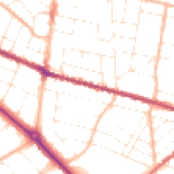
Daytime· 07:00 – 23:00
50.5dB

Night-time· 23:00 – 07:00
40.3dB