82a, Alma Road, Bournemouth, BH9 1AN
About 82a
82a is a property in Bournemouth (BH9 1AN). It has council tax band A.
Across 1998–2023, sale prices on this property compounded at 3.2% per year. Last sale on file: £200,000 in May 2023.
Everything you need to know about 82a
The true value, the hidden risks and the full sale history, in one report.
Pick your report · every report is £14.99
One time fee only - money back guarantee

The data behind every report


Energy performance
No EPC on record
This property doesn't have an Energy Performance Certificate yet. An EPC is required to sell or let — and unlocks our automated valuation.
Get a survey for this property
Level 2 HomeBuyer Report
We've checked 10 risk factors against the available data for this property and believe a Level 2 HomeBuyer Report could be a suitable option for you.
Planning history
82a has no planning applications on record.
But the area is active
78 notable applications nearby — larger schemes and conversions that could reshape the street. The report maps them all.
Sales history & valuation
82a has more than doubled in price since the earliest registered sale in 1998.
£200,000
Growth on file: 3.2% per year over 25 years.
Sales timeline
31 May 2023Most recent
£200,000
+122.2%over 25 years26 April 1998
£90,000
Median price across the last 5 sales in BH9 1AN: £395,000 (2024–2022).
Nearby sales in BH9 1AN
Alma Court, Flat 4, 84 Alma Road, Bournemouth, BH9 1AN
Sold Jul 2024
£157,000Flat 1, 28 Alma Road, Bournemouth, BH9 1AN
Sold Mar 2024
£1,250,00018 Alma Road, Bournemouth, BH9 1AN
Sold Mar 2023
£330,00032 Alma Road, Bournemouth, BH9 1AN
Sold Aug 2022
£510,00054 Alma Road, Bournemouth, BH9 1AN
Sold Aug 2022
£395,000
Everything you need to know about 82a
The true value, the hidden risks and the full sale history, in one report.
Pick your report · every report is £14.99
One time fee only - money back guarantee
The data behind every report
Similar properties nearby
The neighbourhood at a glance
Crime
4/mo
Steady year-on-year across the wider district.
Nearest stop
0.2 km
Stokewood Road — bus stop.
Closest school
0.6 km
St Luke's Church of England Primary School. 26 schools nearby.
Go deeper on the local area
A Local Area report breaks down crime, transport links, schools and air quality in depth.
Road noise across the postcode
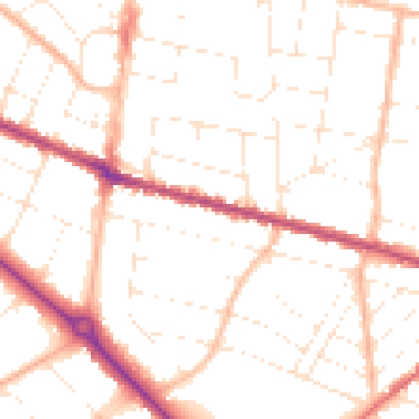
Daytime· 07:00 – 23:00
50.5dB

Night-time· 23:00 – 07:00
40.3dB