54 Alma Road, Bournemouth, BH9 1AN
About 54 Alma Road
54 Alma Road is a three-bedroom detached house in Bournemouth (BH9 1AN). It has a recorded floor area of 97 m² (around 1044 sq ft), construction records dating it to 1900-1929 and council tax band C. The latest certificate (April 2019) shows a D (score 58), a step below the typical UK home. The recommended improvements would push it to C (score 79). The home occupies a corner plot.
At 97 m² the property is well over the postcode median (63 m² across 43 EPCs), placing it in the larger end of the local stock. Across 2019–2022, sale prices on this property compounded at 17.5% per year. On a £-per-square-foot basis, the last sale (£378/sq ft) was about 115% above the typical sold price in the postcode. Sold August 2022 for £395,000. That sale was during the post-pandemic price surge, when transactions cleared materially above pre-2020 trend.
What this property has
Inside
- Bedrooms3
- Bathrooms1
- Dining roomYes
- Utility roomYes
- CloakroomYes
Outside
- Private gardenSouth-facing
- Corner plotYes
Building
- Heating systemGas
- RefurbishedYes
Everything you need to know about 54 Alma Road
The true value, the hidden risks and the full sale history, in one report.
Pick your report · every report is £14.99
One time fee only - money back guarantee

The data behind every report


Energy performance
EPC Rating
Get a survey for this property
Level 3 Building Survey
Because the property was built before 1919, we believe a Level 3 building survey should be considered.
From £955 · Includes VAT
Planning history
54 Alma Road has no planning applications on record.
But the area is active
78 notable applications nearby — larger schemes and conversions that could reshape the street. The report maps them all.
Sales history & valuation
The latest sale landed in the post-pandemic price surge — useful context when reading the figure.
£385,000
Modelled from EPC, postcode comparables and a sale-price growth of 17.5% per year over 3 years.
£395,000
Growth on file: 17.5% per year over 3 years.
Sales timeline
4 August 2022Most recent
£395,000
+58.0%over 2 years3 October 2019
£250,000
Median price across the last 5 sales in BH9 1AN: £330,000 (2024–2022).
Nearby sales in BH9 1AN
Alma Court, Flat 4, 84 Alma Road, Bournemouth, BH9 1AN
Sold Jul 2024
£157,000Flat 1, 28 Alma Road, Bournemouth, BH9 1AN
Sold Mar 2024
£1,250,00082a, Alma Road, Bournemouth, BH9 1AN
Sold May 2023
£200,00018 Alma Road, Bournemouth, BH9 1AN
Sold Mar 2023
£330,00032 Alma Road, Bournemouth, BH9 1AN
Sold Aug 2022
£510,000
Versus other Alma Road homes
On price per m², 54 Alma Road stands well clear of the street.
Price per m²
£4,072
Street avg £2,228
Floor Area
97 m²
Street avg 99 m²
Habitable Rooms
5 rooms
Street avg 5 rooms
CO₂ Emissions
4.9 t/year
Street avg 4.5 t/year
Everything you need to know about 54 Alma Road
The true value, the hidden risks and the full sale history, in one report.
Pick your report · every report is £14.99
One time fee only - money back guarantee
The data behind every report
Similar properties nearby
The neighbourhood at a glance
Crime
4/mo
Steady year-on-year across the wider district.
Nearest stop
0.2 km
Stokewood Road — bus stop.
Closest school
0.6 km
St Luke's Church of England Primary School. 26 schools nearby.
Go deeper on the local area
A Local Area report breaks down crime, transport links, schools and air quality in depth.
Road noise across the postcode
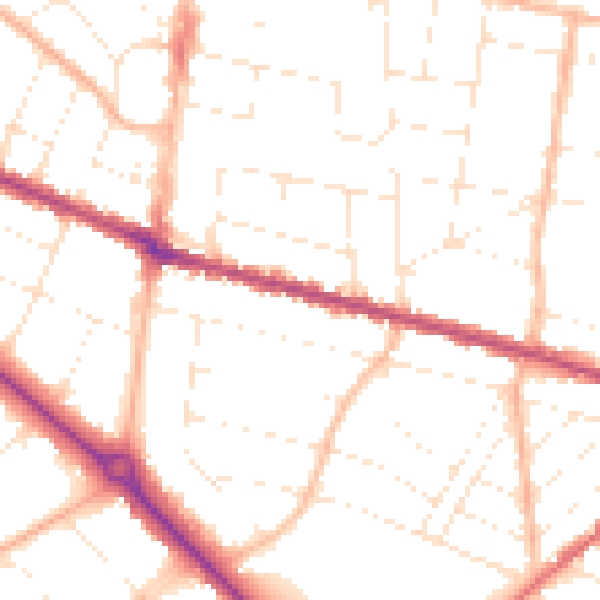
Daytime· 07:00 – 23:00
50.5dB

Night-time· 23:00 – 07:00
40.3dB