35a, Broadway Lane, Bournemouth, BH8 0AA
About 35a
35a is a semi-detached house in Bournemouth (BH8 0AA). It has a recorded floor area of 78 m² (around 840 sq ft). The latest certificate (November 2020) returns a B (score 81), comfortably above the UK average. The recommended improvements would push it to A (score 93).
Its energy rating outperforms most of the postcode (better than 85% of similar EPCs). Across 2021–2022, sale prices on this property compounded at 11.8% per year. On a £-per-square-foot basis, the last sale (£450/sq ft) was about 103.6% above the typical sold price in the postcode. Most recent transfer: June 2022 at £378,000. That sale was during the post-pandemic price surge, when transactions cleared materially above pre-2020 trend.
Everything you need to know about 35a
The true value, the hidden risks and the full sale history, in one report.
Pick your report · every report is £14.99
One time fee only - money back guarantee

The data behind every report


Energy performance
35a's carbon output is low for the local stock.
EPC Rating
Get a survey for this property
Level 2 HomeBuyer Report
We've checked 10 risk factors against the available data for this property and believe a Level 2 HomeBuyer Report could be a suitable option for you.
From £595 · Includes VAT
Planning history
35a has no planning applications on record.
A planning report still maps activity across the surrounding area and reads this property's extension & conversion potential.
Sales history & valuation
Latest sale on 35a was the highest on Land Registry record across the postcode.
£376,000
Modelled from EPC, postcode comparables and a sale-price growth of 11.8% per year over 1 year.
£378,000
Growth on file: 11.8% per year over 1 year.
Sales timeline
5 June 2022Most recent
£378,000
+16.3%over 1 year28 January 2021
£325,000
Median price across the last 5 sales in BH8 0AA: £245,000 (2025–2021).
Nearby sales in BH8 0AA
Versus other Broadway Lane homes
On price per m², 35a stands well clear of the street.
Price per m²
£4,846
Street avg £3,170
Floor Area
78 m²
Street avg 95 m²
CO₂ Emissions
1.5 t/year
Street avg 4.1 t/year
Years Held
4 years
Street avg 10 years
Everything you need to know about 35a
The true value, the hidden risks and the full sale history, in one report.
Pick your report · every report is £14.99
One time fee only - money back guarantee
The data behind every report
Similar properties nearby
The neighbourhood at a glance
Crime
14/mo
Steady year-on-year across the wider district.
Nearest stop
0.0 km
Larksfield Avenue — bus stop.
Closest school
0.4 km
Muscliff Primary School. 20 schools nearby.
Go deeper on the local area
A Local Area report breaks down crime, transport links, schools and air quality in depth.
Road noise across the postcode
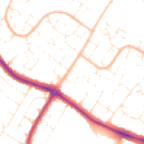
Daytime· 07:00 – 23:00
50.5dB

Night-time· 23:00 – 07:00
40.1dB