Rydal Mews, 8, 22 St Johns Hill, Wimborne, BH21 1DD
About Rydal Mews
Rydal Mews is a mid-terrace house in Wimborne (BH21 1DD). It has a recorded floor area of 64 m² (around 689 sq ft) and construction records dating it to 1983-1990. The latest certificate (March 2015) shows a D (score 64), on the cusp of jumping into the C band. The recommended improvements would lift it to B (score 87), a 2-band jump. The latest certificate is from March 2015, so improvements made since then won't be reflected.
Across 1999–2021, sale prices on this property compounded at 5% per year. Today's modelled estimate of £269,000 is 12.2% above the 2021 sale price. On a £-per-square-foot basis, the last sale (£348/sq ft) was about 43.3% above the typical sold price in the postcode. At 64 m² it's 17.9% smaller than the typical home in the postcode (78 m² median across 19 EPCs). Last sale on file: £239,700 in December 2021. That sale was during the post-pandemic price surge, when transactions cleared materially above pre-2020 trend.
Know exactly what you're buying at Rydal Mews
Before you offer, see what the listing won't tell you, the true value, the red flags and the full history.
Already flagged here
Valuation
against the asking price
Risks
planning & flood
Sold prices
similar homes nearby
Trends
the local market
Energy performance
Recommended upgrades on file would lift this property by multiple EPC bands.
EPC Expired
This certificate is over 10 years old and is no longer valid.Expired 31 Mar 2025
EPC Rating
Planning history
Rydal Mews has no planning applications on record.
Notable planning nearby
2applications of note in the surrounding area
We flagged 1 thing worth checking at Rydal Mews
Independent checks surfaced things a buyer would want to understand before offering. The report explains each one in full, with the underlying data and what to ask.
- Larger development activity nearby
30-day money-back guarantee
Sales history & valuation
Rydal Mews has more than tripled in price since its earliest registered sale in 1999.
£269,000
Modelled from EPC, postcode comparables and a sale-price growth of 5.0% per year over 23 years.
£239,700
Growth on file: 5.0% per year over 23 years.
Sales timeline
10 December 2021Most recent
£239,700
+110.3%over 20 years25 October 2001
£114,000
+46.2%over 2 years18 January 1999
£78,000
Median price across the last 5 sales in BH21 1DD: £360,000 (2023–2020).
Nearby sales in BH21 1DD
Rydal House, Flat 5, 22 St Johns Hill, Wimborne, BH21 1DD
Sold Oct 2023
£315,000Rydal House, Flat 3, 22 St Johns Hill, Wimborne, BH21 1DD
Sold Apr 2022
£360,00020 St Johns Hill, Wimborne, BH21 1DD
Sold Oct 2021
£800,000Rydal Mews, 4, 22 St Johns Hill, Wimborne, BH21 1DD
Sold Apr 2021
£239,000Rydal Mews, 1, 22 St Johns Hill, Wimborne, BH21 1DD
Sold Aug 2020
£223,000
Everything we know about Rydal Mews, in one report
What it's really worth, what could be wrong, and the planning, sales and area data in full.
What we flagged
- Larger development activity nearby

Versus other St Johns Hill homes
Years Held for Rydal Mews lags the street by a wide margin.
Price per m²
£3,745
Street avg £3,225
Floor Area
64 m²
Street avg 101 m²
Habitable Rooms
3 rooms
Street avg 4 rooms
CO₂ Emissions
3.1 t/year
Street avg 4.1 t/year
Similar properties nearby
1 Crescent Cottages, 13 Crescent Road
BH21 1BJ
1 Cook Row
BH21 1LB
1 Chapel Lane
BH21 1PP
1 Allen Road
BH21 1BQ
1 Crescent Road
BH21 1BJ
1 Cockerell Close
BH21 1XP
1 Broadway Gardens, Stevensons Close
BH21 1LS
1 Allenview Road
BH21 1AT
The neighbourhood at a glance
Daytime road noise here sits well below conversation level — a quiet pocket of the postcode.
Crime
2/mo
Steady year-on-year across the wider district.
Nearest stop
0.1 km
Top of St. John's Hill — bus stop.
Closest school
0.1 km
St John's Church of England First School, Wimborne. 9 schools nearby.
Go deeper on the local area
The full report breaks down crime, transport links, schools and air quality in depth.
Road noise across the postcode
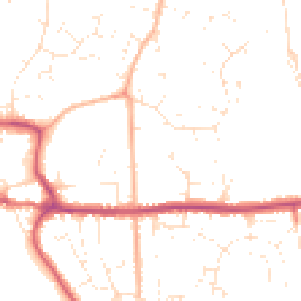
Daytime· 07:00 – 23:00
49.0dB
Night-time· 23:00 – 07:00
39.2dB