20 St Johns Hill, Wimborne, BH21 1DD
About 20 St Johns Hill
20 St Johns Hill is a semi-detached house in Wimborne (BH21 1DD). It has a recorded floor area of 234 m² (around 2519 sq ft), construction records dating it to 1900-1929 and council tax band E. The latest certificate (January 2020) shows an E (score 44), well below the UK norm with real room to improve. The recommended improvements would lift it to C (score 71), a 2-band jump.
At 234 m² the property is well over the postcode median (68 m² across 19 EPCs), placing it in the larger end of the local stock. It lags the bulk of the postcode on energy efficiency (less efficient than 74% of similar EPCs). 2 planning records sit against the property, 1 approved, 1 refused. Past consents include an extension, meaningful when judging how the property has evolved. Across 2020–2021, sale prices on this property compounded at 4.6% per year. On a £-per-square-foot basis, the last sale (£318/sq ft) was about 35.2% above the typical sold price in the postcode. Last sale on file: £800,000 in October 2021. That sale was during the post-pandemic price surge, when transactions cleared materially above pre-2020 trend.
Know exactly what you're buying at 20 St Johns Hill
Before you offer, see what the listing won't tell you, the true value, the red flags and the full history.
Already flagged here
Valuation
against the asking price
Risks
planning & flood
Sold prices
similar homes nearby
Trends
the local market
Energy performance
20 St Johns Hill's carbon output runs well above what efficient homes in the postcode produce.
EPC Rating
Planning history
A an annexe application was refused at 20 St Johns Hill in 2021.
- Jan 2023ExtensionFullIn report
Extension: Part single, part two storey · Side and rear of property
Raise roof to provide habitable second floor within roof, with 2nd floor eastern extension. Rear 2nd floor dormer & windows. Side & rear 2nd floor roof lights. Front, side & rear single storey extensions with roof lights. Rear first floor balcony enlargement & extension. New fenestration & doors. (Amended description)
- Documents
- 49 docs on file
- Reference
- P/HOU/2022/05684
- Jul 2021AnnexFullIn report
Sever plot and extend annexe to form a separate dwelling and extend existing dwelling
- Council
- East Dorset
Extension- Documents
- 18 docs on file
- Reference
- 3/21/0307/FUL
We flagged 1 thing worth checking at 20 St Johns Hill
Independent checks surfaced things a buyer would want to understand before offering. The report explains each one in full, with the underlying data and what to ask.
- Larger development activity nearby
30-day money-back guarantee
Sales history & valuation
Latest sale on 20 St Johns Hill was the highest on Land Registry record across the postcode.
£864,000
Modelled from EPC, postcode comparables and a sale-price growth of 4.6% per year over 1 year.
£800,000
Growth on file: 4.6% per year over 1 year.
Sales timeline
28 October 2021Most recent
£800,000
+4.6%over 12 months6 November 2020
£765,000
Median price across the last 5 sales in BH21 1DD: £239,700 (2023–2020).
Nearby sales in BH21 1DD
Rydal House, Flat 5, 22 St Johns Hill, Wimborne, BH21 1DD
Sold Oct 2023
£315,000Rydal House, Flat 3, 22 St Johns Hill, Wimborne, BH21 1DD
Sold Apr 2022
£360,000Rydal Mews, 8, 22 St Johns Hill, Wimborne, BH21 1DD
Sold Dec 2021
£239,700Rydal Mews, 4, 22 St Johns Hill, Wimborne, BH21 1DD
Sold Apr 2021
£239,000Rydal Mews, 1, 22 St Johns Hill, Wimborne, BH21 1DD
Sold Aug 2020
£223,000
Everything we know about 20 St Johns Hill, in one report
What it's really worth, what could be wrong, and the planning, sales and area data in full.
What we flagged
- Larger development activity nearby

Versus other St Johns Hill homes
On epc rating, 20 St Johns Hill runs well behind the street norm.
Price per m²
£3,419
Street avg £3,255
Floor Area
234 m²
Street avg 89 m²
Habitable Rooms
9 rooms
Street avg 4 rooms
CO₂ Emissions
14.0 t/year
Street avg 3.4 t/year
Similar properties nearby
The neighbourhood at a glance
Daytime road noise here sits well below conversation level — a quiet pocket of the postcode.
Crime
2/mo
Steady year-on-year across the wider district.
Nearest stop
0.1 km
Top of St. John's Hill — bus stop.
Closest school
0.1 km
St John's Church of England First School, Wimborne. 9 schools nearby.
Go deeper on the local area
The full report breaks down crime, transport links, schools and air quality in depth.
Road noise across the postcode
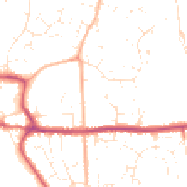
Daytime· 07:00 – 23:00
49.0dB
Night-time· 23:00 – 07:00
39.2dB