110 Dorchester Road, Oakdale, Poole, BH15 3SD
About 110 Dorchester Road
110 Dorchester Road is a property in Oakdale, Poole, Poole (BH15 3SD). It has council tax band D.
Energy performance
No EPC on record
This property doesn't have an Energy Performance Certificate yet. An EPC is required to sell or let — and unlocks our automated valuation.
Planning history
No planning applications are recorded against 110 Dorchester Road, Oakdale, Poole, BH15 3SD. The full report also covers planning activity across the surrounding area.
Sales history & valuation
No sales recorded with HM Land Registry
That can mean the property has never traded since the registry began publishing in 1995, was a new build that hasn't been registered yet, or is held in the same hands long-term.
Median price across the last 5 sales in BH15 3SD: £320,000 (2020–2015).
Nearby sales in BH15 3SD
98 Dorchester Road, Oakdale, Poole, BH15 3SD
Sold Oct 2020
£327,500112 Dorchester Road, Oakdale, Poole, BH15 3SD
Sold Dec 2019
£495,00096b, Dorchester Road, Oakdale, Poole, BH15 3SD
Sold May 2018
£300,000124 Dorchester Road, Oakdale, Poole, BH15 3SD
Sold Oct 2015
£320,00096a, Dorchester Road, Oakdale, Poole, BH15 3SD
Sold Jan 2015
£275,000
Similar properties nearby
The neighbourhood at a glance
Crime
6/mo
Steady year-on-year across the wider district.
Nearest stop
0.1 km
Pound Close — bus stop.
Closest school
0.5 km
Ocean Academy Poole. 25 schools nearby.
Road noise across the postcode
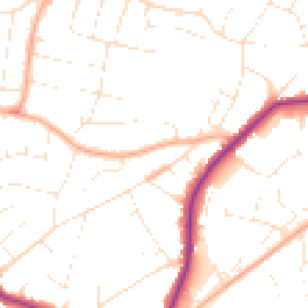
Daytime· 07:00 – 23:00
50.2dB

Night-time· 23:00 – 07:00
40.8dB