8 Curlieu Road, Poole, BH15 3RJ
About 8 Curlieu Road
8 Curlieu Road is a three-bedroom detached house in Poole (BH15 3RJ). It has a recorded floor area of 71 m² (around 764 sq ft), construction records dating it to 1930-1949 and council tax band C. The latest certificate (July 2013) shows a D (score 65), on the cusp of jumping into the C band. When first surveyed in February 2009 the rating was G, the property has climbed 3 bands since. Between certificates, wall efficiency went from Poor to Good, hot-water efficiency went from Very Poor to Good and main heating went from Very Poor to Good; while window efficiency dropped from Average to Poor and lighting dropped from Poor to Very Poor. The recommended improvements would lift it to B (score 83), a 2-band jump. The latest certificate is from July 2013, so improvements made since then won't be reflected. Our model identifies extension potential, subject to local planning policy.
4 planning records sit against the property, 3 approved, 1 refused. Past consents include an extension, meaningful when judging how the property has evolved. Across 2007–2022, sale prices on this property compounded at 4% per year. On a £-per-square-foot basis, the last sale (£540/sq ft) was about 106.3% above the typical sold price in the postcode. At 71 m² it's 19.3% smaller than the typical home in the postcode (88 m² median across 32 EPCs). Last sale on file: £412,500 in September 2022. That sale was during the post-pandemic price surge, when transactions cleared materially above pre-2020 trend.
Know exactly what you're buying at 8 Curlieu Road
Before you offer, see what the listing won't tell you, the true value, the red flags and the full history.
Already flagged here
Valuation
against the asking price
Risks
planning & flood
Sold prices
similar homes nearby
Trends
the local market
What this property has
Inside
- Bedrooms3
- Bathrooms1
Outside
- ParkingOff road
Building
- Heating systemGas fired
- Extension potentialPossible
Energy performance
Recommended upgrades on file would lift this property by multiple EPC bands.
EPC Expired
This certificate is over 10 years old and is no longer valid.Expired 29 Jul 2023
EPC Rating
Property Improvements
Changes detected from historical EPC data
Heating system upgraded to a more efficient system
Replaced storage heaters with gas boiler
Connected to mains gas supply
Hot water system upgraded
Cavity wall insulation installed
More low energy lighting installed
Low energy lighting percentage decreased
Planning history
8 Curlieu Road has an approved single-storey extension on the planning record.
- Jul 2025ExtensionFullIn report
Extension: Single storey
Alterations and extension to form new 1st floor level and roof to include increase in ridge height, Juliet balcony and roof lights
- Documents
- 7 docs on file
- Reference
- P/25/01487/HOU
- Jun 2021ExtensionFullIn report
Extension: Single storey
Alterations and raise roof to create first floor accommodation
- Documents
- 7 docs on file
- Reference
- APP/21/00522/F
We flagged 2 things worth checking at 8 Curlieu Road
Independent checks surfaced things a buyer would want to understand before offering. The report explains each one in full, with the underlying data and what to ask.
- Signs of HMO activity in the area
- Larger development activity nearby
30-day money-back guarantee
Sales history & valuation
The latest sale landed in the post-pandemic price surge — useful context when reading the figure.
£405,000
Modelled from EPC, postcode comparables and a sale-price growth of 4.0% per year over 15 years.
£412,500
Growth on file: 4.0% per year over 15 years.
Sales timeline
13 September 2022Most recent
£412,500
+79.3%over 15 years16 August 2007
£230,000
Median price across the last 5 sales in BH15 3RJ: £580,000 (2025–2023).
Everything we know about 8 Curlieu Road, in one report
What it's really worth, what could be wrong, and the planning, sales and area data in full.
What we flagged
- Signs of HMO activity in the area
- Larger development activity nearby

Versus other Curlieu Road homes
On price per m², 8 Curlieu Road stands well clear of the street.
Price per m²
£5,810
Street avg £3,846
Floor Area
71 m²
Street avg 95 m²
Habitable Rooms
4 rooms
Street avg 5 rooms
CO₂ Emissions
2.9 t/year
Street avg 4.3 t/year
Similar properties nearby
The neighbourhood at a glance
Crime
6/mo
Steady year-on-year across the wider district.
Nearest stop
0.1 km
Enfield Road — bus stop.
Closest school
0.4 km
Canford Heath Junior School. 22 schools nearby.
Go deeper on the local area
The full report breaks down crime, transport links, schools and air quality in depth.
Road noise across the postcode
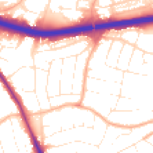
Daytime· 07:00 – 23:00
54.0dB

Night-time· 23:00 – 07:00
45.0dB