2 Daisy Hill Grove, Bradford, BD9 6DR
About 2 Daisy Hill Grove
2 Daisy Hill Grove is a three-bedroom semi-detached house in Bradford (BD9 6DR). It has a recorded floor area of 83 m² (around 893 sq ft), construction records dating it to 1950-1966 and council tax band C. The latest certificate (July 2023) shows a D (score 56), a step below the typical UK home. The recommended improvements would lift it to B (score 84), a 2-band jump. The home occupies a cul-de-sac position.
Today's modelled estimate of £228,000 is 23.2% above the 2023 sale price. On a £-per-square-foot basis, the last sale (£207/sq ft) was about 282.5% above the typical sold price in the postcode. Most recent transfer: October 2023 at £185,000.
What this property has
Inside
- Bedrooms3
- Bathrooms1
- Dining roomYes
Outside
- Private gardenYes
- GarageYes
- Cul-de-sacYes
Building
- RefurbishedYes
Everything you need to know about 2 Daisy Hill Grove
The true value, the hidden risks and the full sale history, in one report.
30-day money-back guarantee

The data behind every report


Energy performance
Recommended upgrades on file would lift this property by multiple EPC bands.
EPC Rating
Planning history
2 Daisy Hill Grove has no planning applications on record.
Notable planning nearby
7applications of note in the surrounding area
We flagged 1 thing worth checking at 2 Daisy Hill Grove
Independent checks surfaced things a buyer would want to understand before offering. The report explains each one in full, with the underlying data and what to ask.
- Signs of HMO activity in the area
30-day money-back guarantee
Sales history & valuation
Latest sale on 2 Daisy Hill Grove was the highest on Land Registry record across the postcode.
£228,000
Modelled from EPC, postcode comparables.
£185,000
Recorded with HM Land Registry.
Sales timeline
26 October 2023Most recent
£185,000
Median price across the last 5 sales in BD9 6DR: £125,000 (2022–2002).
Nearby sales in BD9 6DR
Versus other Daisy Hill Grove homes
Price per m² for 2 Daisy Hill Grove runs comfortably ahead of the street norm.
Price per m²
£2,229
Street avg £1,015
Floor Area
83 m²
Street avg 98 m²
Habitable Rooms
5 rooms
Street avg 5 rooms
CO₂ Emissions
5.1 t/year
Street avg 5.2 t/year
Everything you need to know about 2 Daisy Hill Grove
The true value, the hidden risks and the full sale history, in one report.
30-day money-back guarantee
The data behind every report
Similar properties nearby
The neighbourhood at a glance
Reported crime in the wider district is trending notably upward year-on-year.
Crime
8/mo
Rising year-on-year across the wider district.
Nearest stop
0.1 km
Lynfield Mount Hospital — bus stop.
Closest school
0.8 km
Beckfoot Heaton Primary. 45 schools nearby.
Go deeper on the local area
The full report breaks down crime, transport links, schools and air quality in depth.
Road noise across the postcode
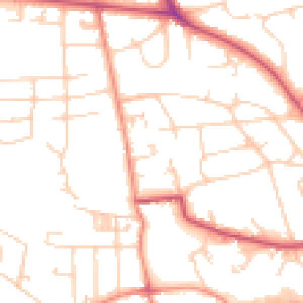
Daytime· 07:00 – 23:00
50.3dB

Night-time· 23:00 – 07:00
40.1dB