10 Pearson Lane, Bradford, BD9 6BB
About 10 Pearson Lane
10 Pearson Lane is a semi-detached house in Bradford (BD9 6BB). It has a recorded floor area of 90 m² (around 969 sq ft), construction records dating it to 1976-1982 and council tax band C. The latest certificate (November 2025) shows a C (score 70). The rating has held steady at C across 2 certificates since July 2015. Between certificates, roof efficiency went from Average to Very Good and window efficiency went from Poor to Average. The recommended improvements would push it to B (score 88).
Today's modelled estimate of £207,000 sits 59.2% above the 2015 sale of £130,000. On a £-per-square-foot basis, the last sale (£134/sq ft) was about 116% above the typical sold price in the postcode. Its energy rating outperforms most of the postcode (better than 73% of similar EPCs). Last changed hands 11 years ago, in November 2015.
Everything you need to know about 10 Pearson Lane
The true value, the hidden risks and the full sale history, in one report.
30-day money-back guarantee

The data behind every report


Energy performance
EPC Rating
Property Improvements
Changes detected from historical EPC data
High performance glazing installed
Loft insulation upgraded to recommended levels
More low energy lighting installed
Planning history
10 Pearson Lane has no planning applications on record.
Notable planning nearby
7applications of note in the surrounding area
We flagged 1 thing worth checking at 10 Pearson Lane
Independent checks surfaced things a buyer would want to understand before offering. The report explains each one in full, with the underlying data and what to ask.
- Signs of HMO activity in the area
30-day money-back guarantee
Sales history & valuation
10 Pearson Lane valuation sits well clear of the typical sold price in this postcode.
£207,000
Modelled from EPC, postcode comparables.
£130,000
Recorded with HM Land Registry.
Sales timeline
13 November 2015Most recent
£130,000
Median price across the last 5 sales in BD9 6BB: £163,500 (2025–2012).
Versus other Pearson Lane homes
10 Pearson Lane outperforms the street on epc rating by a wide margin.
Price per m²
£1,444
Street avg £1,176
Floor Area
90 m²
Street avg 109 m²
Habitable Rooms
4 rooms
Street avg 5 rooms
CO₂ Emissions
3.2 t/year
Street avg 5.8 t/year
Everything you need to know about 10 Pearson Lane
The true value, the hidden risks and the full sale history, in one report.
30-day money-back guarantee
The data behind every report
Similar properties nearby
The neighbourhood at a glance
Reported crime in the wider district is trending notably upward year-on-year.
Crime
8/mo
Rising year-on-year across the wider district.
Nearest stop
0.0 km
Allerton Road Pearson Ln — bus stop.
Closest school
0.6 km
Dixons Allerton Academy. 44 schools nearby.
Go deeper on the local area
The full report breaks down crime, transport links, schools and air quality in depth.
Road noise across the postcode
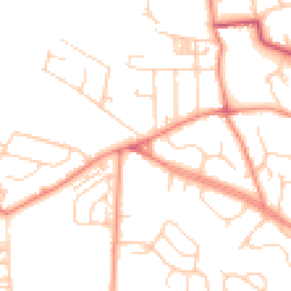
Daytime· 07:00 – 23:00
48.9dB

Night-time· 23:00 – 07:00
38.1dB